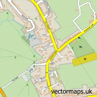
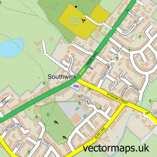
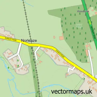
This Trowbridge street map is a detailed vector street map covering a 750m x 750m area. Select a larger area to create and download your own vector street map of Trowbridge.
The 750-metre map sample for Trowbridge covers 218 mapped buildings and approximately 16.8 km of road detail, of which 38 named roads are named. The immediate area includes 1 school, 2 GP surgeries within 2 miles, 4 pubs and 5 MOT stations, with 19 within 2 miles. The wider area around Trowbridge features 4 tourism points of interest, 38 food and drink venues and 1 hotel. To create a larger or custom map of Trowbridge, the map builder lets you define your own coverage area and download editable SVG, PDF and PNG files.
Create a larger editable map of Trowbridge
Choose any area you need and generate a high-quality vector map instantly. Perfect for print, planning, design, business and personal use.

This Trowbridge street map in Wiltshire is available as downloadable SVG, PDF and PNG map files, or as a printed map for planning, business, display, education, local information and design work. You can also create a larger custom map area using the map selector.
What this Trowbridge map sample shows
Trowbridge lies within Trowbridge Cp parish, part of Trowbridge Adcroft ward in the Wiltshire local authority area. The postcode geography for this area includes the BA postcode area, the BA14 postcode district and the BA14 8 postcode sector. Residents fall under the Nhs Bath And North East Somerset, Swindon And Wiltshire Integrated Care Board for NHS services.
Local features near Trowbridge
Within 2 milesAmenities and services in and around Trowbridge.
Administrative and postcode information for Trowbridge
Trowbridge lies within Trowbridge Cp parish, part of Trowbridge Adcroft ward in the Wiltshire local authority area. The postcode geography for this area includes the BA postcode area, the BA14 postcode district and the BA14 8 postcode sector. Residents fall under the Nhs Bath And North East Somerset, Swindon And Wiltshire Integrated Care Board for NHS services.
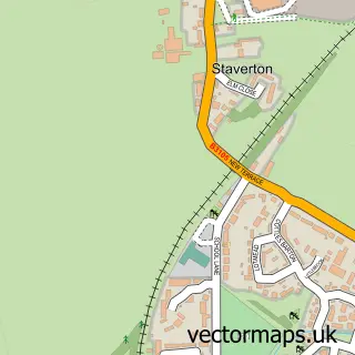
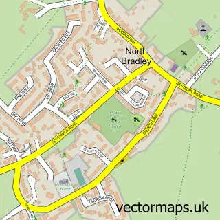
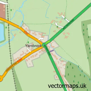
Nearby street map samples around Trowbridge

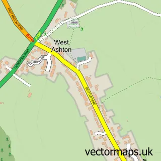
More street maps in Wiltshire
750 metre map area coverage
Boundary, postcode and point of interest information for the 750m x 750m rectangle centred on this sample map.
Boundaries containing map centre
Constituency: South West Wiltshire Co Const
District: Wiltshire
Icb: NHS Bath and North East Somerset Swindon and Wiltshire ICB
Parish: Trowbridge CP
Police Force: wiltshire
Postcode District: BA14
Postcode Sector: BA14 8
Nearby boundaries intersecting sample
Postcode Sector: BA14 0, BA14 7, BA14 9
Postcode coverage
POI category counts
Professional Services: 20
Beauty Salon: 18
Hair Salon: 18
Employment Agencies: 14
Clothing Store: 13
Mobile Phone Store: 13
Real Estate Agent: 12
Restaurant: 12
Cafe: 11
Charity Organization: 11
Sample points of interest
- Trowbridge Town
- A A H Accounting Ltd.
- AAH Accounting Ltd
- Mission Practice Ltd.
- Pearson May
- TaxAssist Accountants
- Body Wellbeing Studio
- Bryan Chant Healthcare
- The Chinese Doctor
- Campbell Page
- Axess Technologies
- FAST Ambulance Service LTD
Create a larger editable map of Trowbridge
This sample shows only a 750 metre area. To create a larger map of Trowbridge, use our map builder to choose your own coverage area, add titles and download editable SVG, PDF and PNG files.
Create a custom map of Trowbridge