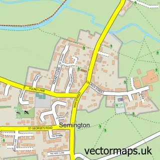
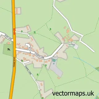
This Staverton street map is a detailed vector street map covering a 750m x 750m area. Select a larger area to create and download your own vector street map of Staverton.
The 750-metre map sample for Staverton covers 171 mapped buildings and approximately 6.4 km of road detail, of which 10 named roads are named. The immediate area includes 2 schools, 3 GP surgeries within 2 miles, 1 pub and 16 MOT stations within 2 miles. The wider area around Staverton features 1 tourism point of interest, 2 food and drink venues and 2 campsites within 2 miles. To create a larger or custom map of Staverton, the map builder lets you define your own coverage area and download editable SVG, PDF and PNG files.
Create a larger editable map of Staverton
Choose any area you need and generate a high-quality vector map instantly. Perfect for print, planning, design, business and personal use.

This Staverton street map in Wiltshire is available as downloadable SVG, PDF and PNG map files, or as a printed map for planning, business, display, education, local information and design work. You can also create a larger custom map area using the map selector.
What this Staverton map sample shows
Staverton lies within Staverton Cp parish, part of Holt And Staverton ward in the Wiltshire local authority area. The postcode geography for this area includes the BA postcode area, the BA14 postcode district and the BA14 6 postcode sector. Residents fall under the Nhs Bath And North East Somerset, Swindon And Wiltshire Integrated Care Board for NHS services.
Local features near Staverton
Within 2 milesAmenities and services in and around Staverton.
Administrative and postcode information for Staverton
Staverton lies within Staverton Cp parish, part of Holt And Staverton ward in the Wiltshire local authority area. The postcode geography for this area includes the BA postcode area, the BA14 postcode district and the BA14 6 postcode sector. Residents fall under the Nhs Bath And North East Somerset, Swindon And Wiltshire Integrated Care Board for NHS services.
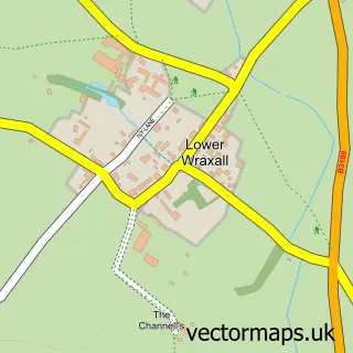
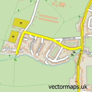
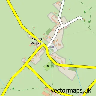
Nearby street map samples around Staverton

More street maps in Wiltshire
750 metre map area coverage
Boundary, postcode and point of interest information for the 750m x 750m rectangle centred on this sample map.
Boundaries containing map centre
Constituency: Melksham and Devizes Co Const
District: Wiltshire
Icb: NHS Bath and North East Somerset Swindon and Wiltshire ICB
Parish: Staverton CP
Police Force: wiltshire
Postcode District: BA14
Postcode Sector: BA14 6
Nearby boundaries intersecting sample
Postcode Sector: BA14 8
Postcode coverage
POI category counts
Church Cathedral: 2
Electrician: 2
Elementary School: 2
Accommodation: 1
Active Life: 1
Animal Shelter: 1
Beauty Salon: 1
Building Supply Store: 1
Eat And Drink: 1
Horse Trainer: 1
Sample points of interest
- Staverton House
- Staverton Racing Stables
- SB Racehorse Rehoming
- Lashes & Beauty By EMW
- A B U Gas & Plumbing Ltd
- Cornerstone Christian Fellowship
- Maranatha Community Church
- Cereal Partners
- RS Electrical Services
- Trowbridge Electrical
- Emmaus School
- Staverton Church of England Primary School
Create a larger editable map of Staverton
This sample shows only a 750 metre area. To create a larger map of Staverton, use our map builder to choose your own coverage area, add titles and download editable SVG, PDF and PNG files.
Create a custom map of Staverton