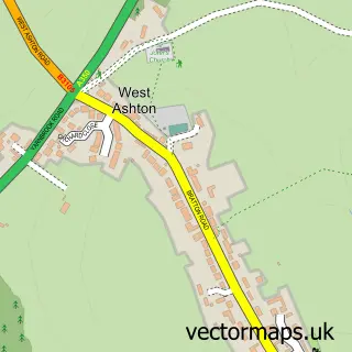
This Keevil street map is a detailed vector street map covering a 750m x 750m area. Select a larger area to create and download your own vector street map of Keevil.
The 750-metre map sample for Keevil covers 157 mapped buildings and approximately 5.4 km of road detail, of which 9 named roads are named. The immediate area includes 1 school and 1 MOT station within 2 miles. To create a larger or custom map of Keevil, the map builder lets you define your own coverage area and download editable SVG, PDF and PNG files.
Create a larger editable map of Keevil
Choose any area you need and generate a high-quality vector map instantly. Perfect for print, planning, design, business and personal use.

This Keevil street map in Wiltshire is available as downloadable SVG, PDF and PNG map files, or as a printed map for planning, business, display, education, local information and design work. You can also create a larger custom map area using the map selector.
What this Keevil map sample shows
Keevil lies within Keevil Cp parish, part of Summerham And Seend ward in the Wiltshire local authority area. The postcode geography for this area includes the BA postcode area, the BA14 postcode district and the BA14 6 postcode sector. Residents fall under the Nhs Bath And North East Somerset, Swindon And Wiltshire Integrated Care Board for NHS services.
Local features near Keevil
Within 2 milesAmenities and services in and around Keevil.
Administrative and postcode information for Keevil
Keevil lies within Keevil Cp parish, part of Summerham And Seend ward in the Wiltshire local authority area. The postcode geography for this area includes the BA postcode area, the BA14 postcode district and the BA14 6 postcode sector. Residents fall under the Nhs Bath And North East Somerset, Swindon And Wiltshire Integrated Care Board for NHS services.
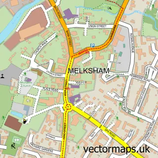
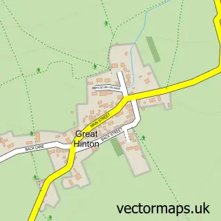
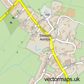
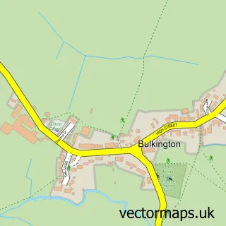
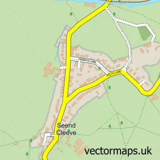
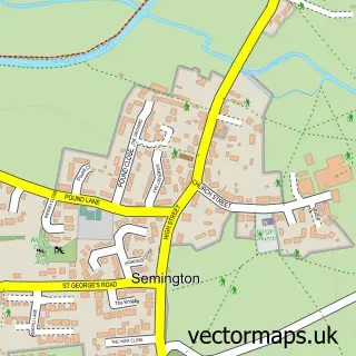
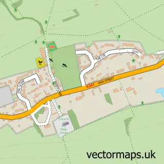
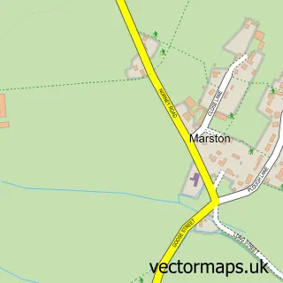
Nearby street map samples around Keevil

More street maps in Wiltshire
750 metre map area coverage
Boundary, postcode and point of interest information for the 750m x 750m rectangle centred on this sample map.
Boundaries containing map centre
Constituency: Melksham and Devizes Co Const
District: Wiltshire
Icb: NHS Bath and North East Somerset Swindon and Wiltshire ICB
Parish: Keevil CP
Police Force: wiltshire
Postcode District: BA14
Postcode Sector: BA14 6
Nearby boundaries intersecting sample
No additional intersecting boundaries found.
Postcode coverage
POI category counts
Post Office: 4
Anglican Church: 1
Arts And Entertainment: 1
Automotive Services And Repair: 1
Building Supply Store: 1
Church Cathedral: 1
Computer Wholesaler: 1
Contractor: 1
Elementary School: 1
Flowers And Gifts Shop: 1
Sample points of interest
- St Leonard's, Keevil
- Joanna May
- SwiftLogic
- David Carson Painting & Decorating
- St Leonards Church
- Swiftlogic
- D Propert and Sons
- Keevil C of E Academy
- Rachel's Flowers
- Mdbit
- Boarding with Annie
- Keevil Sub Post Office
Create a larger editable map of Keevil
This sample shows only a 750 metre area. To create a larger map of Keevil, use our map builder to choose your own coverage area, add titles and download editable SVG, PDF and PNG files.
Create a custom map of Keevil