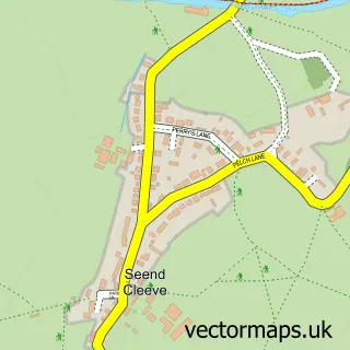
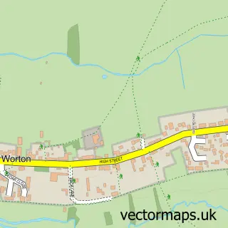
This Seend street map is a detailed vector street map covering a 750m x 750m area. Select a larger area to create and download your own vector street map of Seend.
The 750-metre map sample for Seend covers 142 mapped buildings and approximately 3.9 km of road detail, of which 5 named roads are named. The immediate area includes 1 MOT station within 2 miles. The wider area around Seend features 1 hotel and 2 campsites within 2 miles. To create a larger or custom map of Seend, the map builder lets you define your own coverage area and download editable SVG, PDF and PNG files.
Create a larger editable map of Seend
Choose any area you need and generate a high-quality vector map instantly. Perfect for print, planning, design, business and personal use.

This Seend street map in Wiltshire is available as downloadable SVG, PDF and PNG map files, or as a printed map for planning, business, display, education, local information and design work. You can also create a larger custom map area using the map selector.
What this Seend map sample shows
Seend lies within Seend Cp parish, part of Summerham And Seend ward in the Wiltshire local authority area. The postcode geography for this area includes the SN postcode area, the SN12 postcode district and the SN12 6 postcode sector. Residents fall under the Nhs Bath And North East Somerset, Swindon And Wiltshire Integrated Care Board for NHS services.
Local features near Seend
Within 2 milesAmenities and services in and around Seend.
Administrative and postcode information for Seend
The local authority covering Seend is Wiltshire, within the county of Wiltshire. The settlement lies within Summerham And Seend ward and Seend Cp civil parish. The SN12 postcode district and SN12 6 postcode sector serve the immediate area. NHS provision in the area is delivered through Royal United Hospitals Bath Nhs Foundation Trust.
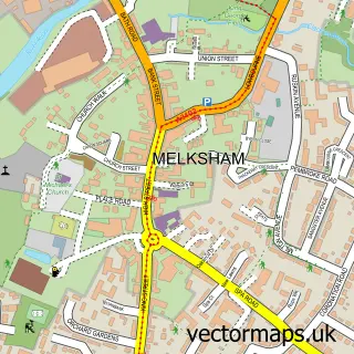
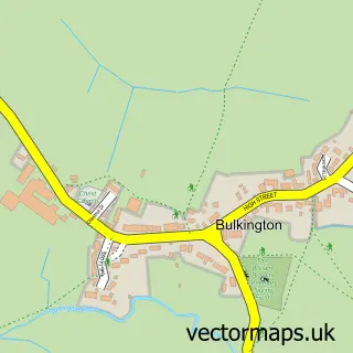
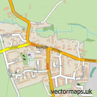
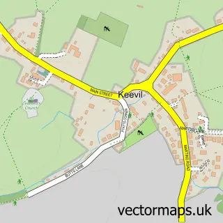
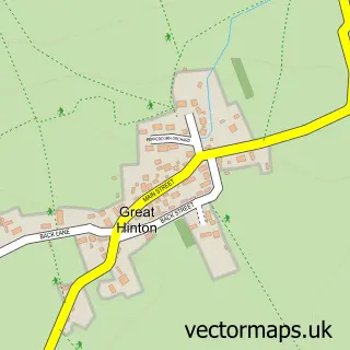
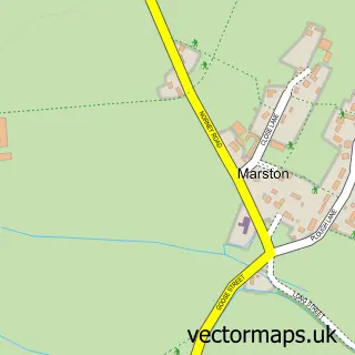
Nearby street map samples around Seend

More street maps in Wiltshire
750 metre map area coverage
Boundary, postcode and point of interest information for the 750m x 750m rectangle centred on this sample map.
Boundaries containing map centre
Constituency: Melksham and Devizes Co Const
District: Wiltshire
Icb: NHS Bath and North East Somerset Swindon and Wiltshire ICB
Parish: Seend CP
Police Force: wiltshire
Postcode District: SN12
Postcode Sector: SN12 6
Nearby boundaries intersecting sample
No additional intersecting boundaries found.
Postcode coverage
POI category counts
Post Office: 2
Topic Concert Venue: 2
Anglican Church: 1
Bakery: 1
Bar: 1
Business Management Services: 1
Church Cathedral: 1
Clothing Store: 1
Community Center: 1
Construction Services: 1
Sample points of interest
- Seend: Holy Cross
- The Fairy Cakery
- Brian
- Plastics By Design Ltd.
- Seend Church
- Altfield
- Seend Community Centre
- Hubert Restoration
- David Cooper Home Renovations
- Little Foxes Farm
- Altfield
- Shiny Happy Campers
Create a larger editable map of Seend
This sample shows only a 750 metre area. To create a larger map of Seend, use our map builder to choose your own coverage area, add titles and download editable SVG, PDF and PNG files.
Create a custom map of Seend