This Lacock street map is a detailed vector street map covering a 750m x 750m area. Select a larger area to create and download your own vector street map of Lacock.
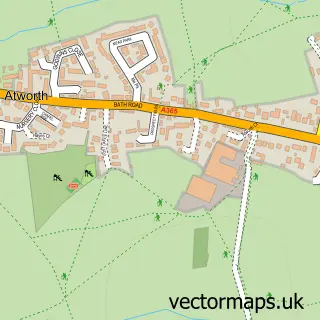
The 750-metre map sample for Lacock covers 103 mapped buildings and approximately 9.5 km of road detail, of which 11 named roads are named. The immediate area includes 1 school and 3 pubs. The wider area around Lacock features 8 tourism points of interest, 7 food and drink venues and 1 hotel. To create a larger or custom map of Lacock, the map builder lets you define your own coverage area and download editable SVG, PDF and PNG files.
Create a larger editable map of Lacock
Choose any area you need and generate a high-quality vector map instantly. Perfect for print, planning, design, business and personal use.

This Lacock street map in Wiltshire is available as downloadable SVG, PDF and PNG map files, or as a printed map for planning, business, display, education, local information and design work. You can also create a larger custom map area using the map selector.
What this Lacock map sample shows
Lacock lies within Lacock Cp parish, part of Corsham Without And Box Hill ward in the Wiltshire local authority area. The postcode geography for this area includes the SN postcode area, the SN15 postcode district and the SN15 2 postcode sector. Residents fall under the Nhs Bath And North East Somerset, Swindon And Wiltshire Integrated Care Board for NHS services.
Local features near Lacock
Within 2 milesAmenities and services in and around Lacock.
Administrative and postcode information for Lacock
The local authority covering Lacock is Wiltshire, within the county of Wiltshire. The settlement lies within Corsham Without And Box Hill ward and Lacock Cp civil parish. The SN15 postcode district and SN15 2 postcode sector serve the immediate area. NHS provision in the area is delivered through Royal United Hospitals Bath Nhs Foundation Trust.
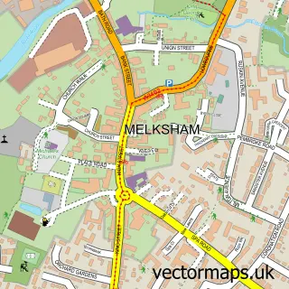
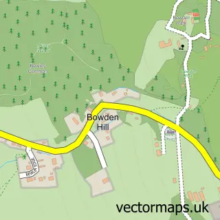
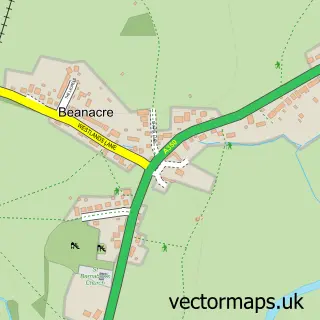
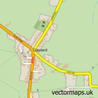
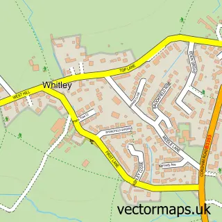
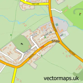
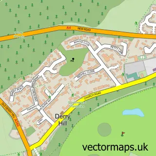
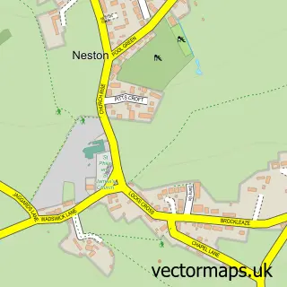
Nearby street map samples around Lacock

More street maps in Wiltshire
750 metre map area coverage
Boundary, postcode and point of interest information for the 750m x 750m rectangle centred on this sample map.
Boundaries containing map centre
Constituency: Chippenham Co Const
District: Wiltshire
Icb: NHS Bath and North East Somerset Swindon and Wiltshire ICB
Parish: Lacock CP
Police Force: wiltshire
Postcode District: SN15
Postcode Sector: SN15 2
Nearby boundaries intersecting sample
No additional intersecting boundaries found.
Postcode coverage
POI category counts
Landmark And Historical Building: 6
Bed And Breakfast: 4
Cafe: 3
Gift Shop: 3
Pub: 3
Arts And Entertainment: 2
Furniture Store: 2
History Museum: 2
Jewelry Store: 2
Shipping Center: 2
Sample points of interest
- Sheard and Hudson
- Lotnisko London Luton
- Lacock Photography
- Wiltshire Crafts
- Harry Potter‘s Parents House
- Lacock Village & Abbey
- Lacock Bakery
- Byde Brook Clinic Ltd
- Aura Health & Beauty- Lacock
- Old Rectory
- Talbot House B&B
- The Old Chapel
Create a larger editable map of Lacock
This sample shows only a 750 metre area. To create a larger map of Lacock, use our map builder to choose your own coverage area, add titles and download editable SVG, PDF and PNG files.
Create a custom map of Lacock