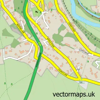
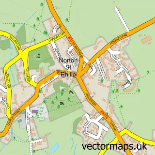
This Westwood street map is a detailed vector street map covering a 750m x 750m area. Select a larger area to create and download your own vector street map of Westwood.
The 750-metre map sample for Westwood covers 267 mapped buildings and approximately 13.0 km of road detail, of which 14 named roads are named. The immediate area includes 1 school, 1 GP surgery within 2 miles and 1 MOT station within 2 miles. The wider area around Westwood features 3 tourism points of interest and 1 campsite within 2 miles. To create a larger or custom map of Westwood, the map builder lets you define your own coverage area and download editable SVG, PDF and PNG files.
Create a larger editable map of Westwood
Choose any area you need and generate a high-quality vector map instantly. Perfect for print, planning, design, business and personal use.

This Westwood street map in Wiltshire is available as downloadable SVG, PDF and PNG map files, or as a printed map for planning, business, display, education, local information and design work. You can also create a larger custom map area using the map selector.
What this Westwood map sample shows
Westwood lies within Westwood Cp parish, part of Winsley And Westwood ward in the Wiltshire local authority area. The postcode geography for this area includes the BA postcode area, the BA15 postcode district and the BA15 2 postcode sector. Residents fall under the Nhs Bath And North East Somerset, Swindon And Wiltshire Integrated Care Board for NHS services.
Local features near Westwood
Within 2 milesAmenities and services in and around Westwood.
Administrative and postcode information for Westwood
The local authority covering Westwood is Wiltshire, within the county of Wiltshire. The settlement lies within Winsley And Westwood ward and Westwood Cp civil parish. The BA15 postcode district and BA15 2 postcode sector serve the immediate area. NHS provision in the area is delivered through Royal United Hospitals Bath Nhs Foundation Trust.
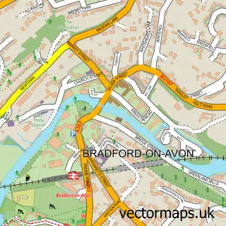
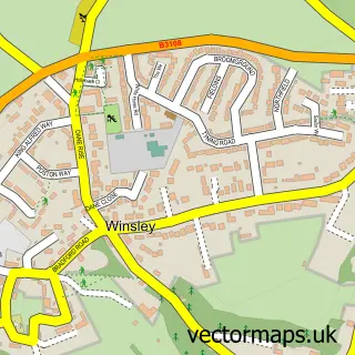
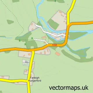
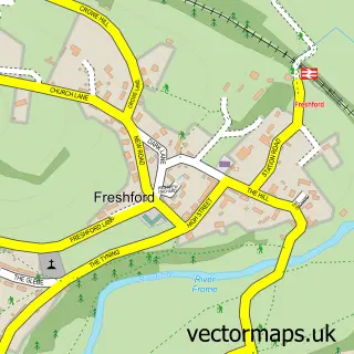
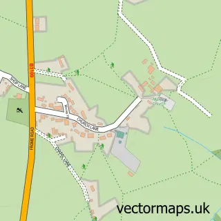
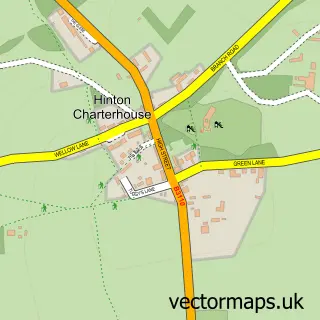
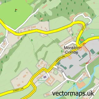
Nearby street map samples around Westwood

More street maps in Wiltshire
750 metre map area coverage
Boundary, postcode and point of interest information for the 750m x 750m rectangle centred on this sample map.
Boundaries containing map centre
Constituency: Melksham and Devizes Co Const
District: Wiltshire
Icb: NHS Bath and North East Somerset Swindon and Wiltshire ICB
Parish: Westwood CP
Police Force: wiltshire
Postcode District: BA15
Postcode Sector: BA15 2
Nearby boundaries intersecting sample
No additional intersecting boundaries found.
Postcode coverage
POI category counts
Retail: 3
Advertising Agency: 2
Elementary School: 2
Grocery Store: 2
Landmark And Historical Building: 2
Post Office: 2
Automotive Repair: 1
Bakery: 1
Bed And Breakfast: 1
Business Management Services: 1
Sample points of interest
- John Baker Communications
- Tentrees Design
- Westwood Motors
- Medieval Bread and Ale Company
- The Westwoods
- C H Associates
- Restore Information Management
- Alastair Williams Woodworker
- The Tommy Tomato Experience
- Westwood Nursery School
- Harrison Training
- Westwood With Iford Primary School
Create a larger editable map of Westwood
This sample shows only a 750 metre area. To create a larger map of Westwood, use our map builder to choose your own coverage area, add titles and download editable SVG, PDF and PNG files.
Create a custom map of Westwood