This Norton St. Philip street map is a detailed vector street map covering a 750m x 750m area. Select a larger area to create and download your own vector street map of Norton St. Philip.
The 750-metre map sample for Norton St. Philip covers 290 mapped buildings and approximately 18.5 km of road detail, of which 27 named roads are named. The immediate area includes 1 school, 1 pub and 1 MOT station, with 2 within 2 miles. The wider area around Norton St. Philip features 1 food and drink venue, 1 hotel and 1 campsite within 2 miles. To create a larger or custom map of Norton St. Philip, the map builder lets you define your own coverage area and download editable SVG, PDF and PNG files.
Create a larger editable map of Norton St. Philip
Choose any area you need and generate a high-quality vector map instantly. Perfect for print, planning, design, business and personal use.

This Norton St. Philip street map in Somerset is available as downloadable SVG, PDF and PNG map files, or as a printed map for planning, business, display, education, local information and design work. You can also create a larger custom map area using the map selector.
What this Norton St. Philip map sample shows
Norton St. Philip lies within Norton St. Philip Cp parish, part of Rode And Norton St Philip ward in the Somerset local authority area. The postcode geography for this area includes the BA postcode area, the BA2 postcode district and the BA2 7 postcode sector. Residents fall under the Nhs Somerset Integrated Care Board for NHS services.
Local features near Norton St. Philip
Within 2 milesAmenities and services in and around Norton St. Philip.
Administrative and postcode information for Norton St. Philip
Norton St. Philip lies within Norton St. Philip Cp parish, part of Rode And Norton St Philip ward in the Somerset local authority area. The postcode geography for this area includes the BA postcode area, the BA2 postcode district and the BA2 7 postcode sector. Residents fall under the Nhs Somerset Integrated Care Board for NHS services.
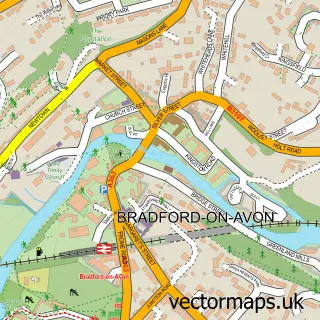
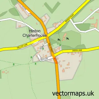
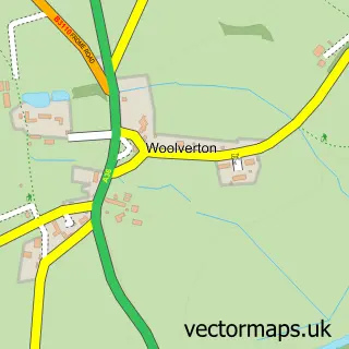
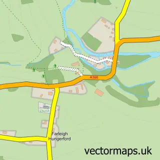
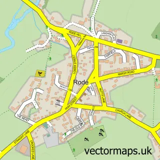
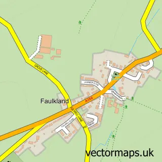
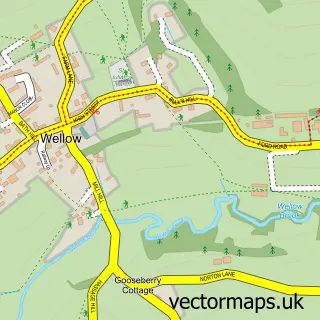
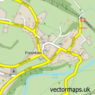
Nearby street map samples around Norton St. Philip

More street maps in Somerset
750 metre map area coverage
Boundary, postcode and point of interest information for the 750m x 750m rectangle centred on this sample map.
Boundaries containing map centre
Constituency: Frome and East Somerset Co Const
District: Somerset
Icb: NHS Somerset ICB
Parish: Norton St. Philip CP
Police Force: avon and somerset
Postcode District: BA2
Postcode Sector: BA2 7
Nearby boundaries intersecting sample
No additional intersecting boundaries found.
Postcode coverage
POI category counts
Bed And Breakfast: 3
Post Office: 2
Advertising Agency: 1
Anglican Church: 1
Architectural Designer: 1
Atms: 1
Automotive: 1
Automotive Repair: 1
Bar: 1
Cabin: 1
Sample points of interest
- Brunel Media
- St Philip & St James, Norton St Philip
- INK Architecture
- The Cooperative Food Norton St Phillips, Norton St Phillips
- NSP Auto Solutions
- Bell Hill Garage
- Beverage Bath
- Manor Farm House
- The George Inn, Norton St. Philip
- The Plaine
- Old Mill Treehouse
- Church of St Philip and St James
Create a larger editable map of Norton St. Philip
This sample shows only a 750 metre area. To create a larger map of Norton St. Philip, use our map builder to choose your own coverage area, add titles and download editable SVG, PDF and PNG files.
Create a custom map of Norton St. Philip