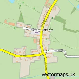
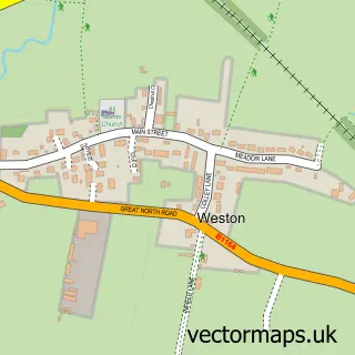
This Tuxford street map is a detailed vector street map covering a 750m x 750m area. Select a larger area to create and download your own vector street map of Tuxford.
The 750-metre map sample for Tuxford covers 295 mapped buildings and approximately 25.8 km of road detail, of which 21 named roads are named. The immediate area includes 1 school, 1 GP surgery within 2 miles, 1 pub and 2 MOT stations. The wider area around Tuxford features 3 tourism points of interest, 2 food and drink venues and 1 campsite within 2 miles. To create a larger or custom map of Tuxford, the map builder lets you define your own coverage area and download editable SVG, PDF and PNG files.
Create a larger editable map of Tuxford
Choose any area you need and generate a high-quality vector map instantly. Perfect for print, planning, design, business and personal use.

This Tuxford street map in Nottinghamshire is available as downloadable SVG, PDF and PNG map files, or as a printed map for planning, business, display, education, local information and design work. You can also create a larger custom map area using the map selector.
What this Tuxford map sample shows
Tuxford lies within Tuxford Cp parish, part of Tuxford And Trent ward in the Bassetlaw District local authority area. The postcode geography for this area includes the NG postcode area, the NG22 postcode district and the NG22 0 postcode sector. Residents fall under the Nhs Nottingham And Nottinghamshire Integrated Care Board for NHS services.
Local features near Tuxford
Within 2 milesAmenities and services in and around Tuxford.
Administrative and postcode information for Tuxford
Tuxford lies within Tuxford Cp parish, part of Tuxford And Trent ward in the Bassetlaw District local authority area. The postcode geography for this area includes the NG postcode area, the NG22 postcode district and the NG22 0 postcode sector. Residents fall under the Nhs Nottingham And Nottinghamshire Integrated Care Board for NHS services.
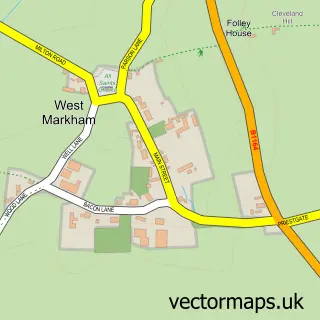
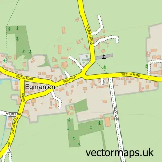
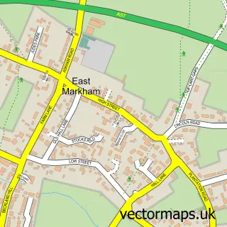
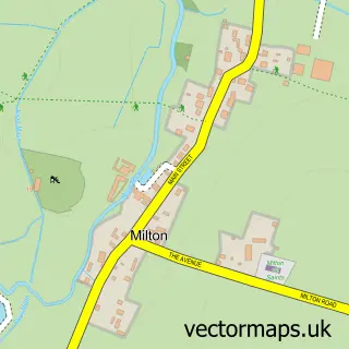
Nearby street map samples around Tuxford

More street maps in Nottinghamshire
750 metre map area coverage
Boundary, postcode and point of interest information for the 750m x 750m rectangle centred on this sample map.
Boundaries containing map centre
Constituency: Newark Co Const
County: Nottinghamshire County
District: Bassetlaw District
Icb: NHS Nottingham and Nottinghamshire ICB
Parish: Tuxford CP
Police Force: nottinghamshire
Postcode District: NG22
Postcode Sector: NG22 0
Ward: Tuxford and Trent Ward
Nearby boundaries intersecting sample
No additional intersecting boundaries found.
Postcode coverage
POI category counts
Library: 4
Beauty And Spa: 3
Anglican Church: 2
Art Gallery: 2
Atms: 2
Beauty Salon: 2
Building Supply Store: 2
Charity Organization: 2
Convenience Store: 2
Elementary School: 2
Sample points of interest
- KSR Accountants
- Platts Harris Ltd
- St Nicholas Church
- The Potting Shed Church
- Gosh Gallery
- The Newcastle Arms Gallery - Tuxford
- M & J Andrews, Tuxford
- Premier Tuxford, Tuxford
- Luke's Auto Detailing
- Mellors Garage
- G W Clark & Son
- Claire Louise Hair
Create a larger editable map of Tuxford
This sample shows only a 750 metre area. To create a larger map of Tuxford, use our map builder to choose your own coverage area, add titles and download editable SVG, PDF and PNG files.
Create a custom map of Tuxford