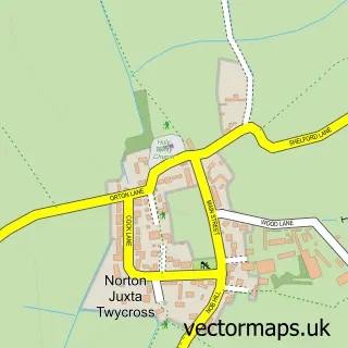
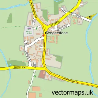
This Twycross street map is a detailed vector street map covering a 750m x 750m area. Select a larger area to create and download your own vector street map of Twycross.
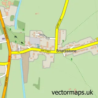
The 750-metre map sample for Twycross covers 150 mapped buildings and approximately 18.7 km of road detail, of which 13 named roads are named. The immediate area includes 2 schools and 1 pub. The wider area around Twycross features 3 food and drink venues. To create a larger or custom map of Twycross, the map builder lets you define your own coverage area and download editable SVG, PDF and PNG files.
Create a larger editable map of Twycross
Choose any area you need and generate a high-quality vector map instantly. Perfect for print, planning, design, business and personal use.

This Twycross street map in Leicestershire is available as downloadable SVG, PDF and PNG map files, or as a printed map for planning, business, display, education, local information and design work. You can also create a larger custom map area using the map selector.
What this Twycross map sample shows
Twycross lies within Twycross Cp parish, part of Twycross And Witherley With Sheepy ward in the Hinckley And Bosworth District (B) local authority area. The postcode geography for this area includes the CV postcode area, the CV9 postcode district and the CV9 3 postcode sector. Residents fall under the Nhs Leicester, Leicestershire And Rutland Integrated Care Board for NHS services.
Local features near Twycross
Within 2 milesAmenities and services in and around Twycross.
Administrative and postcode information for Twycross
Twycross lies within Twycross Cp parish, part of Twycross And Witherley With Sheepy ward in the Hinckley And Bosworth District (B) local authority area. The postcode geography for this area includes the CV postcode area, the CV9 postcode district and the CV9 3 postcode sector. Residents fall under the Nhs Leicester, Leicestershire And Rutland Integrated Care Board for NHS services.
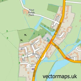
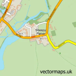
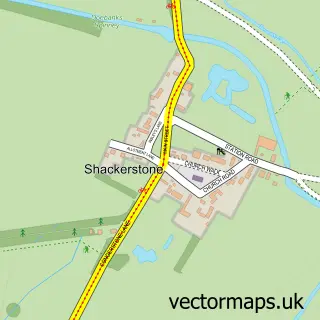
Nearby street map samples around Twycross

More street maps in Leicestershire
750 metre map area coverage
Boundary, postcode and point of interest information for the 750m x 750m rectangle centred on this sample map.
Boundaries containing map centre
Constituency: Hinckley and Bosworth Co Const
County: Leicestershire County
District: Hinckley and Bosworth District (B)
Icb: NHS Leicester Leicestershire and Rutland ICB
Parish: Twycross CP
Police Force: leicestershire
Postcode District: CV9
Postcode Sector: CV9 3
Ward: Twycross and Witherley with Sheepy Ward
Nearby boundaries intersecting sample
No additional intersecting boundaries found.
Postcode coverage
POI category counts
Bar: 2
Agricultural Service: 1
Anglican Church: 1
Cafe: 1
Coffee Shop: 1
Community Center: 1
Desserts: 1
Event Photography: 1
Gym: 1
Hair Salon: 1
Sample points of interest
- Startin Tractors Limited
- Twycross: St James
- Bramble and Barley Horse Box Bar
- The Market Tavern, Atherstone
- Harvey's Coffee Cabin
- The Coffee Shop
- Twycross Village Hall
- Curds & Whey
- Lawson-Gill Ltd Drone Services
- Load The Bar Personal Training
- His & Hare Cuts
- Log Cabin Store Ltd
Create a larger editable map of Twycross
This sample shows only a 750 metre area. To create a larger map of Twycross, use our map builder to choose your own coverage area, add titles and download editable SVG, PDF and PNG files.
Create a custom map of Twycross