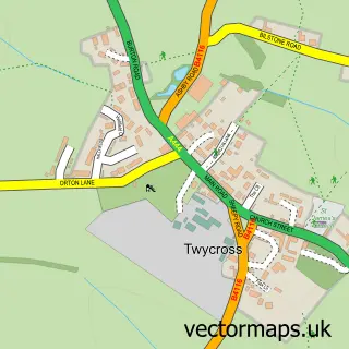
This Orton on the Hill street map is a detailed vector street map covering a 750m x 750m area. Select a larger area to create and download your own vector street map of Orton on the Hill.
The 750-metre map sample for Orton on the Hill covers 94 mapped buildings and approximately 11.9 km of road detail, of which 7 named roads are named. The immediate area includes 1 pub. The wider area around Orton on the Hill features 1 food and drink venue. To create a larger or custom map of Orton on the Hill, the map builder lets you define your own coverage area and download editable SVG, PDF and PNG files.
Create a larger editable map of Orton on the Hill
Choose any area you need and generate a high-quality vector map instantly. Perfect for print, planning, design, business and personal use.

This Orton on the Hill street map in Leicestershire is available as downloadable SVG, PDF and PNG map files, or as a printed map for planning, business, display, education, local information and design work. You can also create a larger custom map area using the map selector.
What this Orton on the Hill map sample shows
Orton on the Hill lies within Twycross Cp parish, part of Twycross And Witherley With Sheepy ward in the Hinckley And Bosworth District (B) local authority area. The postcode geography for this area includes the CV postcode area, the CV9 postcode district and the CV9 3 postcode sector. Residents fall under the Nhs Leicester, Leicestershire And Rutland Integrated Care Board for NHS services.
Local features near Orton on the Hill
Within 2 milesAmenities and services in and around Orton on the Hill.
Administrative and postcode information for Orton on the Hill
The local authority covering Orton on the Hill is Hinckley And Bosworth District (B), within the county of Leicestershire. The settlement lies within Twycross And Witherley With Sheepy ward and Twycross Cp civil parish. The CV9 postcode district and CV9 3 postcode sector serve the immediate area. NHS provision in the area is delivered through University Hospitals Of Leicester Nhs Trust.
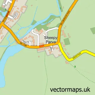
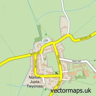
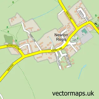
Nearby street map samples around Orton on the Hill

More street maps in Leicestershire
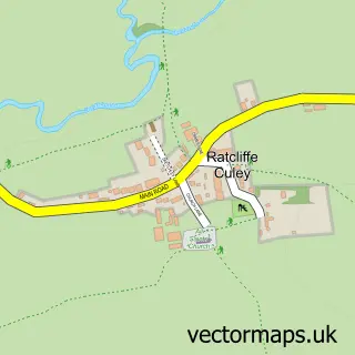
750 metre map area coverage
Boundary, postcode and point of interest information for the 750m x 750m rectangle centred on this sample map.
Boundaries containing map centre
Constituency: Hinckley and Bosworth Co Const
County: Leicestershire County
District: Hinckley and Bosworth District (B)
Icb: NHS Leicester Leicestershire and Rutland ICB
Parish: Twycross CP
Police Force: leicestershire
Postcode District: CV9
Postcode Sector: CV9 3
Ward: Twycross and Witherley with Sheepy Ward
Nearby boundaries intersecting sample
No additional intersecting boundaries found.
Postcode coverage
POI category counts
Anglican Church: 1
Furniture Store: 1
Livestock Breeder: 1
Massage Therapy: 1
Professional Services: 1
Pub: 1
Sample points of interest
- Orton-on-the-Hill: St Edith of Polesworth
- The Bespoke Furniture Co
- Furlong Equestrian
- Feel Bowen
- Andrews Automation
- Unicorn Inn
Create a larger editable map of Orton on the Hill
This sample shows only a 750 metre area. To create a larger map of Orton on the Hill, use our map builder to choose your own coverage area, add titles and download editable SVG, PDF and PNG files.
Create a custom map of Orton on the Hill