Vector Maps logo
Home Why it works Popular maps Districts Samples Customizer Create Your Map
VectorMaps.uk
Home Popular maps Districts Samples Customizer Create Your Map Privacy Disclaimer
Home / UK Maps / Ross and Cromarty / Ullapool Map

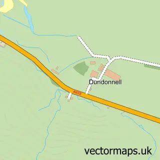
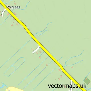
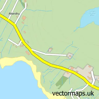
This Ullapool street map is a detailed vector street map covering a 750m x 750m area. Select a larger area to create and download your own vector street map of Ullapool.

Ullapool is a town in Ross And Cromarty, in the Highlands And Islands of Scotland. The settlement falls within the Ross, Skye And Lochaber parliamentary constituency. It is served by the IV26 postcode district, with IV26 2 as the local postcode sector.

The 750-metre map sample for Ullapool covers 135 mapped buildings and approximately 13.3 km of road detail, of which 20 named roads are named. The immediate area includes 1 GP surgery within 2 miles, 2 pubs and 1 MOT station within 2 miles. The wider area around Ullapool features 12 tourism points of interest, 11 food and drink venues and 10 hotels. To create a larger or custom map of Ullapool, the map builder lets you define your own coverage area and download editable SVG, PDF and PNG files.

135Buildings
13.29 kmRoads
20Named roads
0Residents within 2 miles
Create your own

Create a larger editable map of Ullapool

Choose any area you need and generate a high-quality vector map instantly. Perfect for print, planning, design, business and personal use.

Choose any location
Editable SVG files
Any size up to A0
PDF, PNG & more
Instant download
High quality guaranteed
Create My Custom Map
Secure, private & no credit card required
Ullapool Vector Street Map
750m Sample
Ullapool vector street map sample showing roads, buildings and local features in a 750 metre preview area
Buy Ullapool Map Print from £12.95 Buy Ullapool Digital Map from £6

This Ullapool street map in Ross and Cromarty is available as downloadable SVG, PDF and PNG map files, or as a printed map for planning, business, display, education, local information and design work. You can also create a larger custom map area using the map selector.

What this Ullapool map sample shows

Ullapool lies within Highland parish, part of Wester Ross, Strathpeffer And Lochalsh ward in the Highland local authority area. The postcode geography for this area includes the IV postcode area, the IV26 postcode district and the IV26 2 postcode sector. Residents fall under the Highland for NHS services.

Local features near Ullapool

Within 2 miles

Amenities and services in and around Ullapool.

2 Campsites within 2 miles
1 GP surgeries within 2 miles
1 MOT stations within 2 miles
12 Tourism & leisure
11 Food & drink
2 Pubs
10 Hotels
3 Healthcare POIs

Counts are approximate and based on publicly available data.

Administrative and postcode information for Ullapool

Ullapool lies within Highland parish, part of Wester Ross, Strathpeffer And Lochalsh ward in the Highland local authority area. The postcode geography for this area includes the IV postcode area, the IV26 postcode district and the IV26 2 postcode sector. Residents fall under the Highland for NHS services.

Parish HIGHLAND
Ward Wester Ross, Strathpeffer and Lochalsh
District / local authority Highland
County Ross and Cromarty
Historic county Ross and Cromarty
Postcode district IV26
Postcode sector IV26 2
Parliamentary constituency Ross, Skye and Lochaber
Region Highlands and Islands
Country Scotland

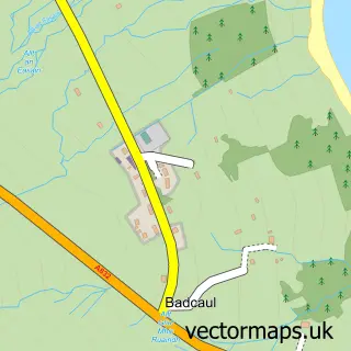
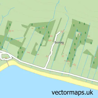
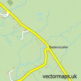
Nearby street map samples around Ullapool

Street map sample of Inverness, Inverness Inverness City - Inverness - 44.9 miles Street map sample of Dundonnell, Ross and Cromarty Dundonnell Village - Ross and Cromarty - 4.3 miles Street map sample of Badcaul, Ross and Cromarty Badcaul Village - Ross and Cromarty - 6.8 miles Street map sample of Scoraig, Ross and Cromarty Scoraig Village - Ross and Cromarty - 7.9 miles Street map sample of Badenscallie, Ross and Cromarty Badenscallie Village - Ross and Cromarty - 9.6 miles Street map sample of Polglass, Ross and Cromarty Polglass Village - Ross and Cromarty - 10.1 miles Street map sample of Achiltibuie, Ross and Cromarty Achiltibuie Village - Ross and Cromarty - 10.9 miles Street map sample of Polbain, Ross and Cromarty Polbain Village - Ross and Cromarty - 12.9 miles Street map sample of Laide, Ross and Cromarty Laide Village - Ross and Cromarty - 14.2 miles Street map sample of Altandhu, Ross and Cromarty Altandhu Village - Ross and Cromarty - 14.5 miles

More street maps in Ross and Cromarty

Street map sample of Dundonnell, Ross and Cromarty Dundonnell Village - 4.3 miles Street map sample of Badcaul, Ross and Cromarty Badcaul Village - 6.8 miles Street map sample of Scoraig, Ross and Cromarty Scoraig Village - 7.9 miles Street map sample of Badenscallie, Ross and Cromarty Badenscallie Village - 9.6 miles Street map sample of Polglass, Ross and Cromarty Polglass Village - 10.1 miles

750 metre map area coverage

Boundary, postcode and point of interest information for the 750m x 750m rectangle centred on this sample map.

Boundaries containing map centre

Constituency: Caithness, Sutherland and Easter Ross Co Const

District: Highland

Icb: Highland

Postcode District: IV26

Postcode Sector: IV26 2

Ward: Wester Ross, Strathpeffer and Lochalsh Ward

Nearby boundaries intersecting sample

No additional intersecting boundaries found.

Postcode coverage

IV26 IV26 2

POI category counts

Bed And Breakfast: 13

Hotel: 9

Cafe: 5

Flowers And Gifts Shop: 5

Art Gallery: 4

Holiday Rental Home: 4

Passport And Visa Services: 4

Professional Services: 4

Travel Services: 4

Bank Credit Union: 3

Sample points of interest

  • Strathmore Accommodation
  • Cabinet Ullapool Art Gallery
  • Rhue Art Gallery Art Gallery
  • The Harbor Gallery Art Gallery
  • an talla solais-Ullapool Visual Arts Art Gallery
  • The Harbour Gallery Art Museum
  • Artworks Arts And Crafts
  • Made In Ullapool Arts And Crafts
  • Ullapool Garden of Reflection Attractions And Activities
  • KR Valeting Servics Auto Detailing
  • Bank of Scotland Bank Credit Union
  • RBS Ullapool Bank Credit Union

Create a larger editable map of Ullapool

This sample shows only a 750 metre area. To create a larger map of Ullapool, use our map builder to choose your own coverage area, add titles and download editable SVG, PDF and PNG files.

Create a custom map of Ullapool

Phone 01751 473136 | Copyright Vectormaps.uk 2026

Samples Customizer Privacy Disclaimer
Ullapool Vector Street Map
Ullapool enlarged street map sample showing a 750 metre preview area