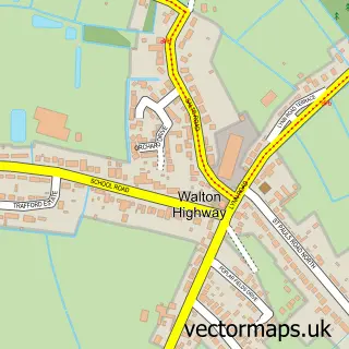
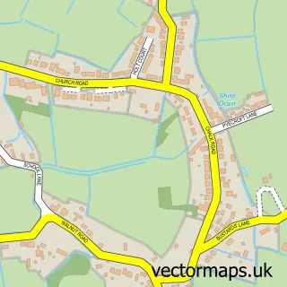
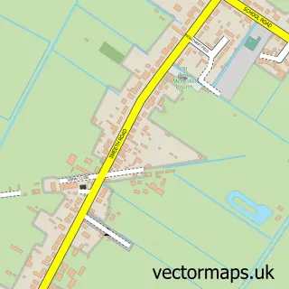
This Walpole Highway street map is a detailed vector street map covering a 750m x 750m area. Select a larger area to create and download your own vector street map of Walpole Highway.
The 750-metre map sample for Walpole Highway covers 200 mapped buildings and approximately 10.4 km of road detail, of which 7 named roads are named. The immediate area includes 1 school, 1 GP surgery within 2 miles and 3 MOT stations within 2 miles. To create a larger or custom map of Walpole Highway, the map builder lets you define your own coverage area and download editable SVG, PDF and PNG files.
Create a larger editable map of Walpole Highway
Choose any area you need and generate a high-quality vector map instantly. Perfect for print, planning, design, business and personal use.

This Walpole Highway street map in Norfolk is available as downloadable SVG, PDF and PNG map files, or as a printed map for planning, business, display, education, local information and design work. You can also create a larger custom map area using the map selector.
What this Walpole Highway map sample shows
Walpole Highway lies within Walpole Highway Cp parish, part of Walsoken, West Walton & Walpole ward in the King's Lynn And West Norfolk District (B) local authority area. The postcode geography for this area includes the PE postcode area, the PE14 postcode district and the PE14 7 postcode sector. Residents fall under the Nhs Norfolk And Waveney Integrated Care Board for NHS services.
Local features near Walpole Highway
Within 2 milesAmenities and services in and around Walpole Highway.
Administrative and postcode information for Walpole Highway
Walpole Highway lies within Walpole Highway Cp parish, part of Walsoken, West Walton & Walpole ward in the King's Lynn And West Norfolk District (B) local authority area. The postcode geography for this area includes the PE postcode area, the PE14 postcode district and the PE14 7 postcode sector. Residents fall under the Nhs Norfolk And Waveney Integrated Care Board for NHS services.
Nearby street map samples around Walpole Highway
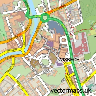

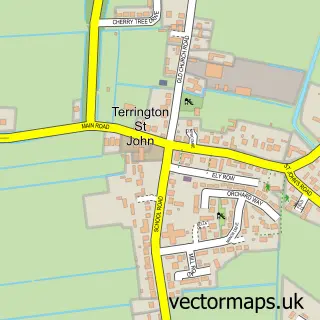
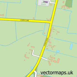
More street maps in Norfolk
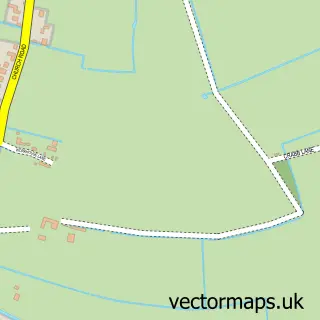
750 metre map area coverage
Boundary, postcode and point of interest information for the 750m x 750m rectangle centred on this sample map.
Boundaries containing map centre
Constituency: North West Norfolk Co Const
County: Norfolk County
District: King's Lynn and West Norfolk District (B)
Icb: NHS Norfolk and Waveney ICB
Parish: Walpole Highway CP
Police Force: norfolk
Postcode District: PE14
Postcode Sector: PE14 7
Ward: Walsoken, West Walton & Walpole Ward
Nearby boundaries intersecting sample
No additional intersecting boundaries found.
Postcode coverage
POI category counts
Post Office: 2
Roller Skating Rink: 2
Car Dealer: 1
Driving School: 1
Education: 1
Farm: 1
Public Transportation: 1
Shipping Center: 1
Used Car Dealer: 1
Sample points of interest
- Harley Motors
- Marianne's Driving Tuition
- Walpole Community County Primary School
- Pear Tree Farm
- Post Office
- Walpole Stores LTD
- Post Office-Walpole Highway
- Skaters
- Skaterz
- Walpole Highway Post Office
- AllCars Sales Centre
Create a larger editable map of Walpole Highway
This sample shows only a 750 metre area. To create a larger map of Walpole Highway, use our map builder to choose your own coverage area, add titles and download editable SVG, PDF and PNG files.
Create a custom map of Walpole Highway