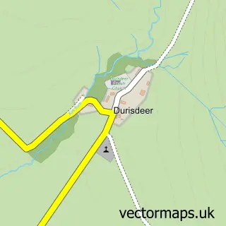
This Wanlockhead street map is a detailed vector street map covering a 750m x 750m area. Select a larger area to create and download your own vector street map of Wanlockhead.
The 750-metre map sample for Wanlockhead covers 88 mapped buildings and approximately 9.3 km of road detail, of which 2 named roads are named. The immediate area includes 1 pub. The wider area around Wanlockhead features 4 tourism points of interest and 1 food and drink venue. To create a larger or custom map of Wanlockhead, the map builder lets you define your own coverage area and download editable SVG, PDF and PNG files.
Create a larger editable map of Wanlockhead
Choose any area you need and generate a high-quality vector map instantly. Perfect for print, planning, design, business and personal use.

This Wanlockhead street map in Dumfries is available as downloadable SVG, PDF and PNG map files, or as a printed map for planning, business, display, education, local information and design work. You can also create a larger custom map area using the map selector.
What this Wanlockhead map sample shows
Wanlockhead lies within Dumfries And Galloway parish, part of Mid And Upper Nithsdale ward in the Dumfries And Galloway local authority area. The postcode geography for this area includes the ML postcode area, the ML12 postcode district and the ML12 6 postcode sector. Residents fall under the Dumfries And Galloway for NHS services.
Local features near Wanlockhead
Within 2 milesAmenities and services in and around Wanlockhead.
Administrative and postcode information for Wanlockhead
Wanlockhead lies within Dumfries And Galloway parish, part of Mid And Upper Nithsdale ward in the Dumfries And Galloway local authority area. The postcode geography for this area includes the ML postcode area, the ML12 postcode district and the ML12 6 postcode sector. Residents fall under the Dumfries And Galloway for NHS services.
Nearby street map samples around Wanlockhead
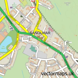

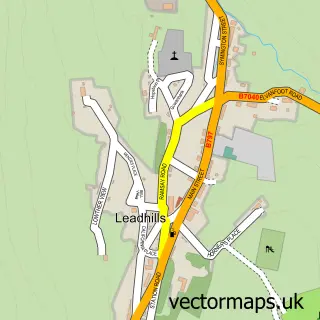
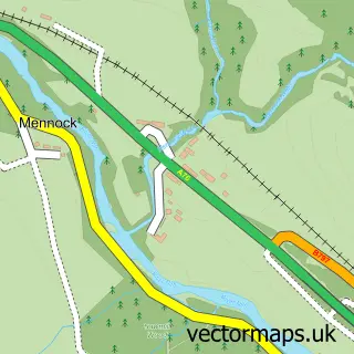
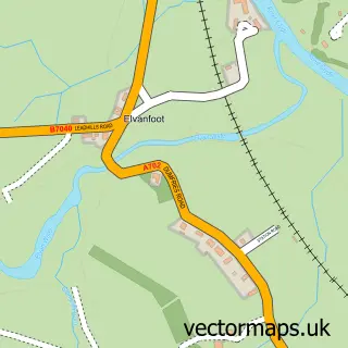
More street maps in Dumfries
750 metre map area coverage
Boundary, postcode and point of interest information for the 750m x 750m rectangle centred on this sample map.
Boundaries containing map centre
Constituency: Dumfriesshire, Clydesdale and Tweeddale Co Const
District: Dumfries and Galloway
Icb: Dumfries and Galloway
Postcode District: ML12
Postcode Sector: ML12 6
Ward: Mid and Upper Nithsdale Ward
Nearby boundaries intersecting sample
No additional intersecting boundaries found.
Postcode coverage
POI category counts
Museum: 3
Cabin: 2
Community Center: 1
History Museum: 1
Holiday Rental Home: 1
Hostel: 1
Library: 1
Pet Boarding: 1
Pet Sitting: 1
Pool Cleaning: 1
Sample points of interest
- No. 1-2 Dialknowe Holiday Cottage
- No.3 Dialknowe Holiday Cottage
- Wanlockhead Community Centre
- Wanlockhead Lead Mining Museum
- Rowan Cottage Wanlockhead
- Lotus Lodge Backpackers Hostel
- Miners’ Library
- Museum of Lead Mining
- The Museum of Lead Mining
- Wanlockhead Museum Trust
- Belton House Holiday Home
- Auntie Loulous Dog Hotel
Create a larger editable map of Wanlockhead
This sample shows only a 750 metre area. To create a larger map of Wanlockhead, use our map builder to choose your own coverage area, add titles and download editable SVG, PDF and PNG files.
Create a custom map of Wanlockhead