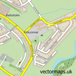
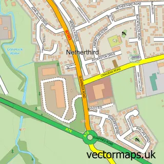
This Kirkconnel street map is a detailed vector street map covering a 750m x 750m area. Select a larger area to create and download your own vector street map of Kirkconnel.
The 750-metre map sample for Kirkconnel covers 170 mapped buildings and approximately 11.2 km of road detail, of which 10 named roads are named. The immediate area includes 1 railway station, 2 pubs and 1 MOT station. The wider area around Kirkconnel features 2 food and drink venues. To create a larger or custom map of Kirkconnel, the map builder lets you define your own coverage area and download editable SVG, PDF and PNG files.
Create a larger editable map of Kirkconnel
Choose any area you need and generate a high-quality vector map instantly. Perfect for print, planning, design, business and personal use.

This Kirkconnel street map in Dumfries is available as downloadable SVG, PDF and PNG map files, or as a printed map for planning, business, display, education, local information and design work. You can also create a larger custom map area using the map selector.
What this Kirkconnel map sample shows
Kirkconnel lies within Dumfries And Galloway parish, part of Mid And Upper Nithsdale ward in the Dumfries And Galloway local authority area. The postcode geography for this area includes the DG postcode area, the DG4 postcode district and the DG4 6 postcode sector. Residents fall under the Dumfries And Galloway for NHS services.
Local features near Kirkconnel
Within 2 milesAmenities and services in and around Kirkconnel.
Administrative and postcode information for Kirkconnel
Kirkconnel lies within Dumfries And Galloway parish, part of Mid And Upper Nithsdale ward in the Dumfries And Galloway local authority area. The postcode geography for this area includes the DG postcode area, the DG4 postcode district and the DG4 6 postcode sector. Residents fall under the Dumfries And Galloway for NHS services.
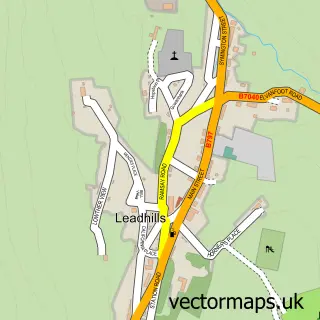
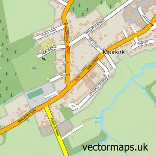
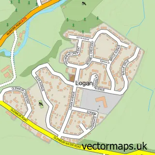
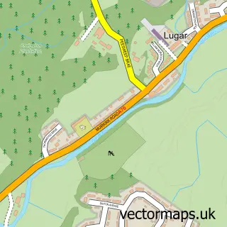
Nearby street map samples around Kirkconnel
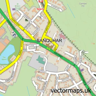

More street maps in Dumfries
750 metre map area coverage
Boundary, postcode and point of interest information for the 750m x 750m rectangle centred on this sample map.
Boundaries containing map centre
Constituency: Dumfriesshire, Clydesdale and Tweeddale Co Const
District: Dumfries and Galloway
Icb: Dumfries and Galloway
Postcode District: DG4
Postcode Sector: DG4 6
Ward: Mid and Upper Nithsdale Ward
Nearby boundaries intersecting sample
No additional intersecting boundaries found.
Postcode coverage
POI category counts
Beauty Salon: 3
Building Supply Store: 2
Convenience Store: 2
Pharmacy: 2
Pub: 2
Sports Club And League: 2
Train Station: 2
Ambulance And Ems Services: 1
Business Management Services: 1
Community Center: 1
Sample points of interest
- Kirkconnel Ambulance Station
- KT's Beauty
- Station Fortynine Isobel Finlay
- Sun Station
- JMC Contracts and Supplies
- Wisely Home Improvements
- Mortgage Choices
- Miners Memorial Hall
- Premier Convenience
- Premier Kirkconnel
- Avec Amour
- Nith Valley Funeral Directors
Create a larger editable map of Kirkconnel
This sample shows only a 750 metre area. To create a larger map of Kirkconnel, use our map builder to choose your own coverage area, add titles and download editable SVG, PDF and PNG files.
Create a custom map of Kirkconnel