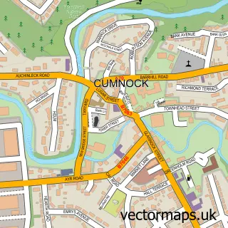
This Netherthird street map is a detailed vector street map covering a 750m x 750m area. Select a larger area to create and download your own vector street map of Netherthird.
The 750-metre map sample for Netherthird covers 314 mapped buildings and approximately 15.7 km of road detail, of which 23 named roads are named. The immediate area includes 1 GP surgery within 2 miles, 1 pub and 4 MOT stations within 2 miles. The wider area around Netherthird features 1 tourism point of interest and 3 food and drink venues. To create a larger or custom map of Netherthird, the map builder lets you define your own coverage area and download editable SVG, PDF and PNG files.
Create a larger editable map of Netherthird
Choose any area you need and generate a high-quality vector map instantly. Perfect for print, planning, design, business and personal use.

This Netherthird street map in Ayrshire and Arran is available as downloadable SVG, PDF and PNG map files, or as a printed map for planning, business, display, education, local information and design work. You can also create a larger custom map area using the map selector.
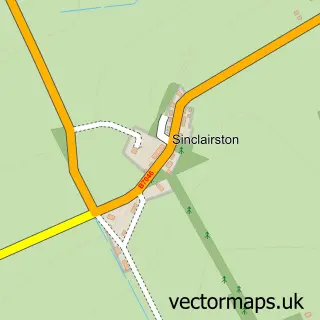
What this Netherthird map sample shows
Netherthird lies within East Ayrshire parish, part of Cumnock And New Cumnock ward in the East Ayrshire local authority area. The postcode geography for this area includes the KA postcode area, the KA18 postcode district and the KA18 3 postcode sector. Residents fall under the Ayrshire And Arran for NHS services.
Local features near Netherthird
Within 2 milesAmenities and services in and around Netherthird.
Administrative and postcode information for Netherthird
The local authority covering Netherthird is East Ayrshire, within the county of Ayrshire And Arran. The settlement lies within Cumnock And New Cumnock ward and East Ayrshire civil parish. The KA18 postcode district and KA18 3 postcode sector serve the immediate area. NHS provision in the area is delivered through Ayrshire And Arran.
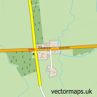
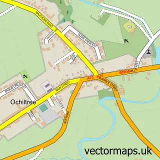
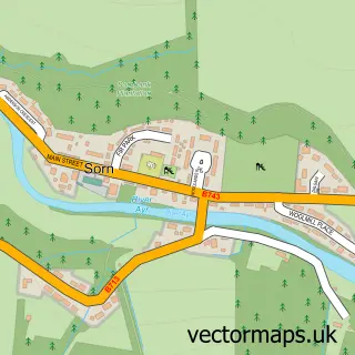
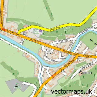
Nearby street map samples around Netherthird

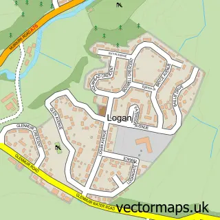
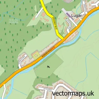
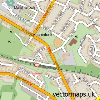
More street maps in Ayrshire and Arran
750 metre map area coverage
Boundary, postcode and point of interest information for the 750m x 750m rectangle centred on this sample map.
Boundaries containing map centre
Constituency: Ayr, Carrick and Cumnock Co Const
District: East Ayrshire
Icb: Ayrshire and Arran
Postcode District: KA18
Postcode Sector: KA18 3
Ward: Cumnock and New Cumnock Ward
Nearby boundaries intersecting sample
Postcode Sector: KA18 1
Postcode coverage
POI category counts
Atms: 2
Cafe: 2
Elementary School: 2
Printing Services: 2
Shipping Center: 2
Arts And Crafts: 1
Attractions And Activities: 1
Auto Detailing: 1
Building Supply Store: 1
Business Manufacturing And Supply: 1
Sample points of interest
- Marianne's Cards & Crafts
- KEYSTORE - SAFERIGHT STORES (Mirren), Netherthird
- PayPoint
- Netherthird Community Gardens
- Autogleamz Mobile Valeting and Detailing
- Ayrshire Pest Control
- Caledonian Bottlers
- Cafe at Cumnock
- The Grub Hub
- Early Childhood Centre
- Cumnock Business Park
- Netherthird Community Centre
Create a larger editable map of Netherthird
This sample shows only a 750 metre area. To create a larger map of Netherthird, use our map builder to choose your own coverage area, add titles and download editable SVG, PDF and PNG files.
Create a custom map of Netherthird