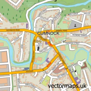
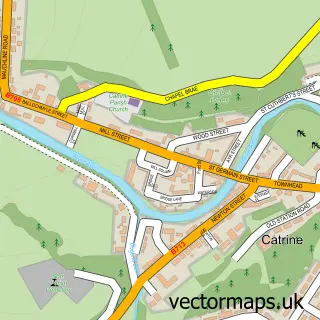
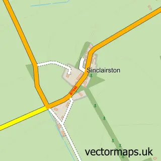
This Auchinleck street map is a detailed vector street map covering a 750m x 750m area. Select a larger area to create and download your own vector street map of Auchinleck.
The 750-metre map sample for Auchinleck covers 427 mapped buildings and approximately 18.5 km of road detail, of which 30 named roads are named. The immediate area includes 1 railway station, 1 GP surgery, with 2 within 2 miles and 1 MOT station, with 6 within 2 miles. The wider area around Auchinleck features 2 tourism points of interest, 5 food and drink venues and 1 hotel. To create a larger or custom map of Auchinleck, the map builder lets you define your own coverage area and download editable SVG, PDF and PNG files.
Create a larger editable map of Auchinleck
Choose any area you need and generate a high-quality vector map instantly. Perfect for print, planning, design, business and personal use.

This Auchinleck street map in Ayrshire and Arran is available as downloadable SVG, PDF and PNG map files, or as a printed map for planning, business, display, education, local information and design work. You can also create a larger custom map area using the map selector.
What this Auchinleck map sample shows
Auchinleck lies within East Ayrshire parish, part of Ballochmyle ward in the East Ayrshire local authority area. The postcode geography for this area includes the KA postcode area, the KA18 postcode district and the KA18 2 postcode sector. Residents fall under the Ayrshire And Arran for NHS services.
Local features near Auchinleck
Within 2 milesAmenities and services in and around Auchinleck.
Administrative and postcode information for Auchinleck
The local authority covering Auchinleck is East Ayrshire, within the county of Ayrshire And Arran. The settlement lies within Ballochmyle ward and East Ayrshire civil parish. The KA18 postcode district and KA18 2 postcode sector serve the immediate area. NHS provision in the area is delivered through Ayrshire And Arran.
Nearby street map samples around Auchinleck

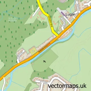
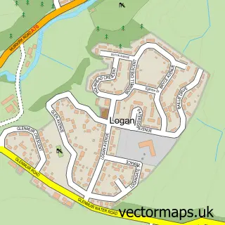
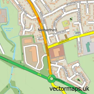
More street maps in Ayrshire and Arran
750 metre map area coverage
Boundary, postcode and point of interest information for the 750m x 750m rectangle centred on this sample map.
Boundaries containing map centre
Constituency: Kilmarnock and Loudoun Co Const
District: East Ayrshire
Icb: Ayrshire and Arran
Postcode District: KA18
Postcode Sector: KA18 2
Ward: Ballochmyle Ward
Nearby boundaries intersecting sample
Postcode Sector: KA18 3
Postcode coverage
POI category counts
Beauty Salon: 4
Convenience Store: 4
Automotive Repair: 3
Cafe: 3
Community Center: 3
Atms: 2
Beauty And Spa: 2
Bowling Alley: 2
Chinese Restaurant: 2
Clothing Store: 2
Sample points of interest
- Beechwood Park
- Beloved Memorial Jewellery
- Merlin Park Fuel Station
- PayPoint
- Ayrshire Auto Repair Services
- Boanerges Performance
- John Gemmell Coachworks
- Hill Cottage Cakes
- Mary's Barbers
- The Butterfly Lounge
- UrbanHair & Beauty HighHouse & The Academy
- Mirror Image Hair & Beauty
Create a larger editable map of Auchinleck
This sample shows only a 750 metre area. To create a larger map of Auchinleck, use our map builder to choose your own coverage area, add titles and download editable SVG, PDF and PNG files.
Create a custom map of Auchinleck