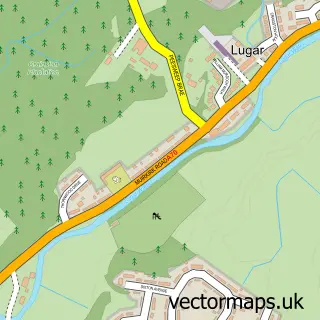
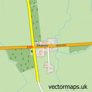
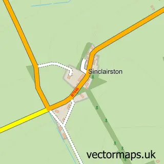
This Logan street map is a detailed vector street map covering a 750m x 750m area. Select a larger area to create and download your own vector street map of Logan.
The 750-metre map sample for Logan covers 255 mapped buildings and approximately 12.0 km of road detail, of which 16 named roads are named. The immediate area includes 1 GP surgery within 2 miles, 2 pubs and 4 MOT stations within 2 miles. The wider area around Logan features 2 food and drink venues. To create a larger or custom map of Logan, the map builder lets you define your own coverage area and download editable SVG, PDF and PNG files.
Create a larger editable map of Logan
Choose any area you need and generate a high-quality vector map instantly. Perfect for print, planning, design, business and personal use.

This Logan street map in Ayrshire and Arran is available as downloadable SVG, PDF and PNG map files, or as a printed map for planning, business, display, education, local information and design work. You can also create a larger custom map area using the map selector.
What this Logan map sample shows
Logan lies within East Ayrshire parish, part of Cumnock And New Cumnock ward in the East Ayrshire local authority area. The postcode geography for this area includes the KA postcode area, the KA18 postcode district and the KA18 3 postcode sector. Residents fall under the Ayrshire And Arran for NHS services.
Local features near Logan
Within 2 milesAmenities and services in and around Logan.
Administrative and postcode information for Logan
The local authority covering Logan is East Ayrshire, within the county of Ayrshire And Arran. The settlement lies within Cumnock And New Cumnock ward and East Ayrshire civil parish. The KA18 postcode district and KA18 3 postcode sector serve the immediate area. NHS provision in the area is delivered through Ayrshire And Arran.
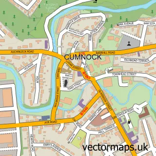
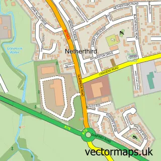
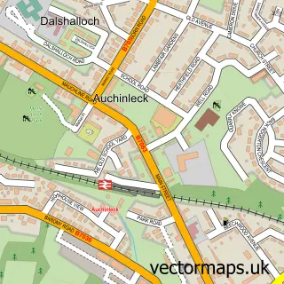
Nearby street map samples around Logan

More street maps in Ayrshire and Arran
750 metre map area coverage
Boundary, postcode and point of interest information for the 750m x 750m rectangle centred on this sample map.
Boundaries containing map centre
Constituency: Kilmarnock and Loudoun Co Const
District: East Ayrshire
Icb: Ayrshire and Arran
Postcode District: KA18
Postcode Sector: KA18 3
Ward: Ballochmyle Ward
Nearby boundaries intersecting sample
Constituency: Ayr, Carrick and Cumnock Co Const
Ward: Cumnock and New Cumnock Ward
Postcode coverage
POI category counts
Contractor: 2
Convenience Store: 2
Pub: 2
Carpenter: 1
Community Center: 1
Currency Exchange: 1
Day Care Preschool: 1
Elementary School: 1
Landscaping: 1
Package Locker: 1
Sample points of interest
- JW Carvings
- Logan Centre
- A.T Mclean
- Gy Welding Services
- Bobbys Mini Market
- Day Today
- Post Office-Logan
- Lyndsay's Little Stars
- Logan Primary School
- A.T McLean
- InPost
- A&M K9 dog boarding and day care
Create a larger editable map of Logan
This sample shows only a 750 metre area. To create a larger map of Logan, use our map builder to choose your own coverage area, add titles and download editable SVG, PDF and PNG files.
Create a custom map of Logan