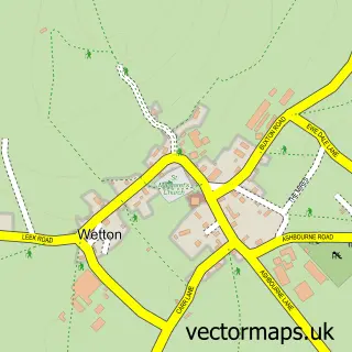
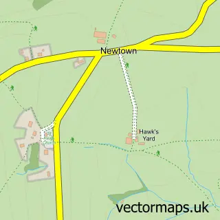
This Warslow street map is a detailed vector street map covering a 750m x 750m area. Select a larger area to create and download your own vector street map of Warslow.
The 750-metre map sample for Warslow covers 96 mapped buildings and approximately 15.2 km of road detail, of which 8 named roads are named. The immediate area includes 1 school and 1 pub. The wider area around Warslow features 1 food and drink venue and 2 campsites within 2 miles. To create a larger or custom map of Warslow, the map builder lets you define your own coverage area and download editable SVG, PDF and PNG files.
Create a larger editable map of Warslow
Choose any area you need and generate a high-quality vector map instantly. Perfect for print, planning, design, business and personal use.

This Warslow street map in Staffordshire is available as downloadable SVG, PDF and PNG map files, or as a printed map for planning, business, display, education, local information and design work. You can also create a larger custom map area using the map selector.
What this Warslow map sample shows
Warslow lies within Warslow And Elkstones Cp parish, part of Manifold ward in the Staffordshire Moorlands District local authority area. The postcode geography for this area includes the SK postcode area, the SK17 postcode district and the SK17 0 postcode sector. Residents fall under the Nhs Staffordshire And Stoke-On-Trent Integrated Care Board for NHS services.
Local features near Warslow
Within 2 milesAmenities and services in and around Warslow.
Administrative and postcode information for Warslow
The local authority covering Warslow is Staffordshire Moorlands District, within the county of Staffordshire. The settlement lies within Manifold ward and Warslow And Elkstones Cp civil parish. The SK17 postcode district and SK17 0 postcode sector serve the immediate area. NHS provision in the area is delivered through University Hospitals Of North Midlands Nhs Trust.
Nearby street map samples around Warslow

More street maps in Staffordshire
750 metre map area coverage
Boundary, postcode and point of interest information for the 750m x 750m rectangle centred on this sample map.
Boundaries containing map centre
Constituency: Staffordshire Moorlands Co Const
County: Staffordshire County
District: Staffordshire Moorlands District
Icb: NHS Staffordshire and Stoke-on-Trent ICB
Parish: Warslow and Elkstones CP
Police Force: staffordshire
Postcode District: SK17
Postcode Sector: SK17 0
Ward: Manifold Ward
Nearby boundaries intersecting sample
No additional intersecting boundaries found.
Postcode coverage
POI category counts
Advertising Agency: 1
Agriculture: 1
Anglican Church: 1
Brewery: 1
Cottage: 1
Day Care Preschool: 1
Gastropub: 1
Holiday Rental Home: 1
Lighting Store: 1
Pub: 1
Sample points of interest
- Michelle Cohen Marketing
- Gap Farm
- Warslow S.Lawrence
- Wilsons of Warslow Brewing
- Hill End Cottages
- Manifold Preschool
- Greyhound Inn
- The Barn at Ivy House Farm
- The Original Table Lamp Company
- The Greyhound Inn
- Leslie Johnson Activities Centre
Create a larger editable map of Warslow
This sample shows only a 750 metre area. To create a larger map of Warslow, use our map builder to choose your own coverage area, add titles and download editable SVG, PDF and PNG files.
Create a custom map of Warslow