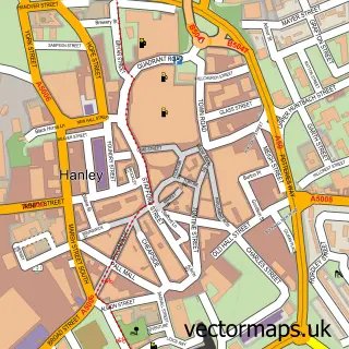
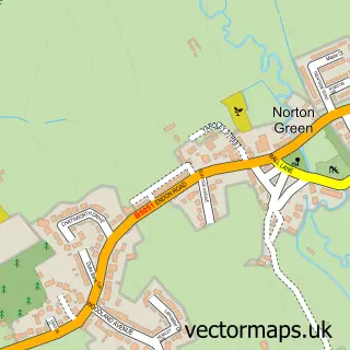
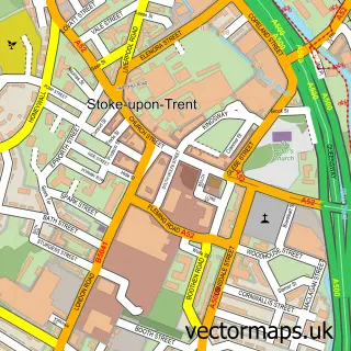
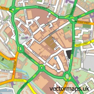
This Stoke-on-Trent street map is a detailed vector street map covering a 750m x 750m area. Select a larger area to create and download your own vector street map of Stoke-on-Trent.
The 750-metre map sample for Stoke-on-Trent covers 242 mapped buildings and approximately 18.1 km of road detail, of which 59 named roads are named. The immediate area includes 6 schools, 1 GP surgery, with 14 within 2 miles and 57 MOT stations within 2 miles. The wider area around Stoke-on-Trent features 4 tourism points of interest and 4 food and drink venues. To create a larger or custom map of Stoke-on-Trent, the map builder lets you define your own coverage area and download editable SVG, PDF and PNG files.
Create a larger editable map of Stoke-on-Trent
Choose any area you need and generate a high-quality vector map instantly. Perfect for print, planning, design, business and personal use.

This Stoke-on-Trent street map in Staffordshire is available as downloadable SVG, PDF and PNG map files, or as a printed map for planning, business, display, education, local information and design work. You can also create a larger custom map area using the map selector.
What this Stoke-on-Trent map sample shows
Stoke-on-Trent lies within City Of Stoke-On-Trent (B) parish, part of Etruria And Hanley ward in the City Of Stoke-On-Trent (B) local authority area. The postcode geography for this area includes the ST postcode area, the ST1 postcode district and the ST1 5 postcode sector. Residents fall under the Nhs Staffordshire And Stoke-On-Trent Integrated Care Board for NHS services.
Local features near Stoke-on-Trent
Within 2 milesAmenities and services in and around Stoke-on-Trent.
Administrative and postcode information for Stoke-on-Trent
The local authority covering Stoke-on-Trent is City Of Stoke-On-Trent (B), within the county of Staffordshire. The settlement lies within Etruria And Hanley ward and City Of Stoke-On-Trent (B) civil parish. The ST1 postcode district and ST1 5 postcode sector serve the immediate area. NHS provision in the area is delivered through University Hospitals Of North Midlands Nhs Trust.
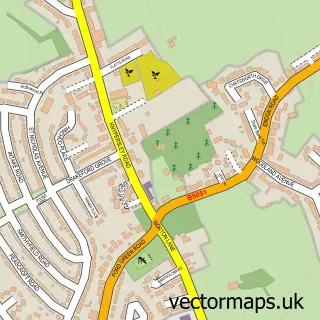
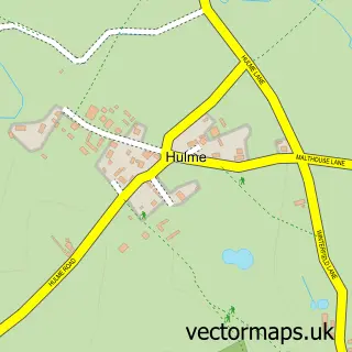
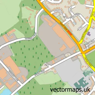
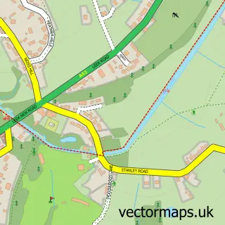
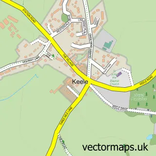
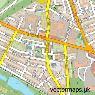
Nearby street map samples around Stoke-on-Trent
More street maps in Staffordshire
750 metre map area coverage
Boundary, postcode and point of interest information for the 750m x 750m rectangle centred on this sample map.
Boundaries containing map centre
Constituency: Stoke-on-Trent Central Boro Const
District: City of Stoke-on-Trent (B)
Icb: NHS Staffordshire and Stoke-on-Trent ICB
Police Force: staffordshire
Postcode District: ST1
Postcode Sector: ST1 4
Ward: Hanley Park, Joiner's Square & Shelton Ward
Nearby boundaries intersecting sample
Postcode District: ST4
Postcode Sector: ST1 3, ST4 2, ST4 7
Ward: Etruria & Hanley Ward
Postcode coverage
POI category counts
College University: 4
Mosque: 4
Park: 4
Accountant: 3
Assisted Living Facility: 3
Automotive Repair: 3
Barber: 3
Butcher Shop: 3
Pharmacy: 3
Restaurant: 3
Sample points of interest
- Homes for Students College Court
- J C Barker & Co.
- Linktax Accountants and Business Advisors
- Regency Charted Management Accountants
- Stoke College Sponsor Trust
- Aware Digital
- Moretraphic
- St Mark
- Caretech
- Mimosa
- The Hollies
- Alpha Salvage
Create a larger editable map of Stoke-on-Trent
This sample shows only a 750 metre area. To create a larger map of Stoke-on-Trent, use our map builder to choose your own coverage area, add titles and download editable SVG, PDF and PNG files.
Create a custom map of Stoke-on-Trent