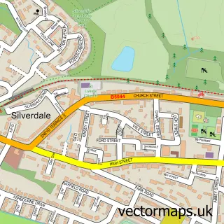
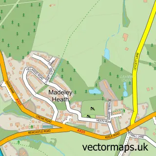
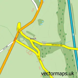
This Newcastle-under-Lyme street map is a detailed vector street map covering a 750m x 750m area. Select a larger area to create and download your own vector street map of Newcastle-under-Lyme.
The 750-metre map sample for Newcastle-under-Lyme covers 240 mapped buildings and approximately 25.1 km of road detail, of which 66 named roads are named. The immediate area includes 2 schools, 13 GP surgeries within 2 miles, 22 pubs and 2 MOT stations, with 35 within 2 miles. The wider area around Newcastle-under-Lyme features 3 tourism points of interest, 46 food and drink venues and 6 hotels. To create a larger or custom map of Newcastle-under-Lyme, the map builder lets you define your own coverage area and download editable SVG, PDF and PNG files.
Create a larger editable map of Newcastle-under-Lyme
Choose any area you need and generate a high-quality vector map instantly. Perfect for print, planning, design, business and personal use.

This Newcastle-under-Lyme street map in Staffordshire is available as downloadable SVG, PDF and PNG map files, or as a printed map for planning, business, display, education, local information and design work. You can also create a larger custom map area using the map selector.
What this Newcastle-under-Lyme map sample shows
Newcastle-under-Lyme lies within Staffordshire County parish, part of Town ward in the Newcastle-Under-Lyme District (B) local authority area. The postcode geography for this area includes the ST postcode area, the ST5 postcode district and the ST5 1 postcode sector. Residents fall under the Nhs Staffordshire And Stoke-On-Trent Integrated Care Board for NHS services.
Local features near Newcastle-under-Lyme
Within 2 milesAmenities and services in and around Newcastle-under-Lyme.
Administrative and postcode information for Newcastle-under-Lyme
Newcastle-under-Lyme lies within Staffordshire County parish, part of Town ward in the Newcastle-Under-Lyme District (B) local authority area. The postcode geography for this area includes the ST postcode area, the ST5 postcode district and the ST5 1 postcode sector. Residents fall under the Nhs Staffordshire And Stoke-On-Trent Integrated Care Board for NHS services.
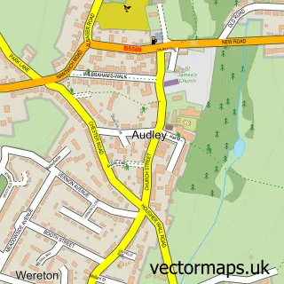
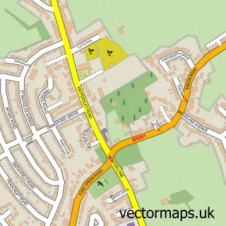
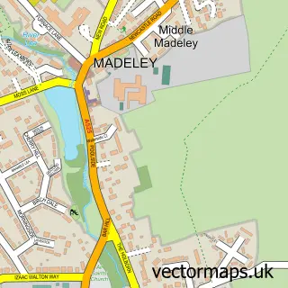
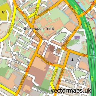
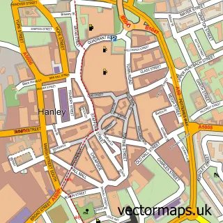
Nearby street map samples around Newcastle-under-Lyme

More street maps in Staffordshire
750 metre map area coverage
Boundary, postcode and point of interest information for the 750m x 750m rectangle centred on this sample map.
Boundaries containing map centre
Constituency: Newcastle-under-Lyme Co Const
County: Staffordshire County
District: Newcastle-under-Lyme District (B)
Icb: NHS Staffordshire and Stoke-on-Trent ICB
Police Force: staffordshire
Postcode District: ST5
Postcode Sector: ST5 1
Ward: Town Ward
Nearby boundaries intersecting sample
Postcode Sector: ST5 2, ST5 3
Ward: May Bank Ward, Westlands Ward
Postcode coverage
POI category counts
Beauty Salon: 28
Pub: 22
Professional Services: 18
Bar: 17
Hair Salon: 12
Indian Restaurant: 12
Church Cathedral: 11
Employment Agencies: 11
Mobile Phone Store: 11
Bakery: 10
Sample points of interest
- Derwent Students Hassell Street Apartments
- Hassells Bridge Apartments
- Keele House
- Orme House
- Urban Student Life - Keele House
- Eaton Acton Accountants
- Thompson Wright
- Healing Hands Alternative Therapy & Acupuncture Clinic
- Connexions
- Heritage Leisure Designs
- Koko Digital
- Medi8 Limited
Create a larger editable map of Newcastle-under-Lyme
This sample shows only a 750 metre area. To create a larger map of Newcastle-under-Lyme, use our map builder to choose your own coverage area, add titles and download editable SVG, PDF and PNG files.
Create a custom map of Newcastle-under-Lyme