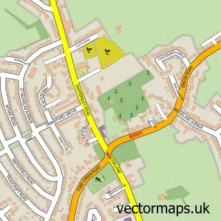
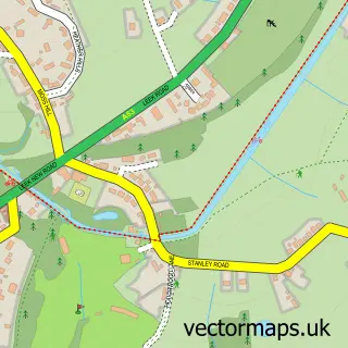
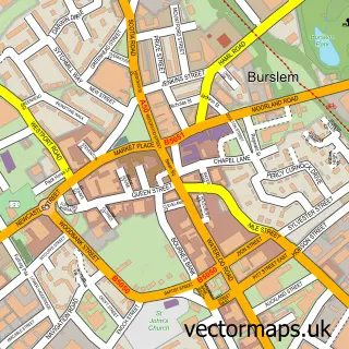
This Hanley street map is a detailed vector street map covering a 750m x 750m area. Select a larger area to create and download your own vector street map of Hanley.
The 750-metre map sample for Hanley covers 162 mapped buildings and approximately 26.9 km of road detail, of which 74 named roads are named. The immediate area includes 1 school, 1 GP surgery, with 16 within 2 miles, 13 pubs and 4 MOT stations, with 55 within 2 miles. The wider area around Hanley features 12 tourism points of interest, 63 food and drink venues and 6 hotels. To create a larger or custom map of Hanley, the map builder lets you define your own coverage area and download editable SVG, PDF and PNG files.
Create a larger editable map of Hanley
Choose any area you need and generate a high-quality vector map instantly. Perfect for print, planning, design, business and personal use.

This Hanley street map in Staffordshire is available as downloadable SVG, PDF and PNG map files, or as a printed map for planning, business, display, education, local information and design work. You can also create a larger custom map area using the map selector.
What this Hanley map sample shows
Hanley lies within City Of Stoke-On-Trent (B) parish, part of Etruria And Hanley ward in the City Of Stoke-On-Trent (B) local authority area. The postcode geography for this area includes the ST postcode area, the ST1 postcode district and the ST1 5 postcode sector. Residents fall under the Nhs Staffordshire And Stoke-On-Trent Integrated Care Board for NHS services.
Local features near Hanley
Within 2 milesAmenities and services in and around Hanley.
Administrative and postcode information for Hanley
Hanley lies within City Of Stoke-On-Trent (B) parish, part of Etruria And Hanley ward in the City Of Stoke-On-Trent (B) local authority area. The postcode geography for this area includes the ST postcode area, the ST1 postcode district and the ST1 5 postcode sector. Residents fall under the Nhs Staffordshire And Stoke-On-Trent Integrated Care Board for NHS services.
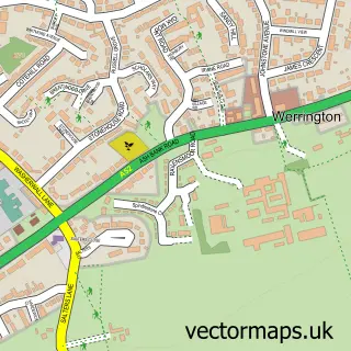
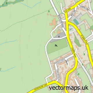
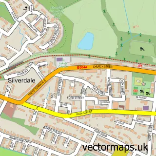
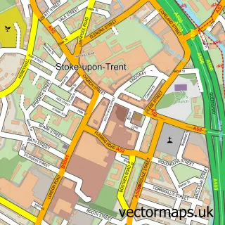
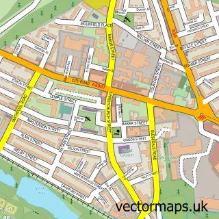
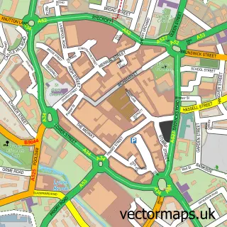
Nearby street map samples around Hanley


More street maps in Staffordshire
750 metre map area coverage
Boundary, postcode and point of interest information for the 750m x 750m rectangle centred on this sample map.
Boundaries containing map centre
Constituency: Stoke-on-Trent Central Boro Const
District: City of Stoke-on-Trent (B)
Icb: NHS Staffordshire and Stoke-on-Trent ICB
Police Force: staffordshire
Postcode District: ST1
Postcode Sector: ST1 1
Ward: Etruria & Hanley Ward
Nearby boundaries intersecting sample
Postcode Sector: ST1 2, ST1 3, ST1 4, ST1 5
Ward: Birches Head & Northwood Ward, Hanley Park, Joiner's Square & Shelton Ward
Postcode coverage
POI category counts
Clothing Store: 40
Bar: 24
Jewelry Store: 24
Shoe Store: 21
Beauty Salon: 20
Hair Salon: 19
Restaurant: 19
Cafe: 18
Mobile Phone Store: 17
Employment Agencies: 16
Sample points of interest
- KiQi Chartered Certified Accountants
- Acupuncture & Chinese Medical Centre
- Chinese Medical & Skin Centre
- Chinese Medicine Centre
- Ann Summers
- Fastsigns
- Hammond Gosschalk
- Lasota
- Red Sea Lounge & Bar
- SCDAS
- Dr & Herbs
- Hanley Parliament Row
Create a larger editable map of Hanley
This sample shows only a 750 metre area. To create a larger map of Hanley, use our map builder to choose your own coverage area, add titles and download editable SVG, PDF and PNG files.
Create a custom map of Hanley