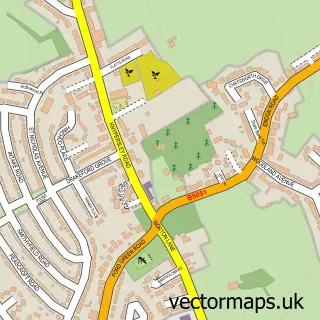
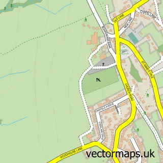
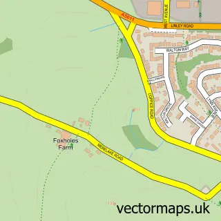
This Burslem street map is a detailed vector street map covering a 750m x 750m area. Select a larger area to create and download your own vector street map of Burslem.
The 750-metre map sample for Burslem covers 316 mapped buildings and approximately 23.2 km of road detail, of which 72 named roads are named. The immediate area includes 1 GP surgery, with 14 within 2 miles, 18 pubs and 2 MOT stations, with 55 within 2 miles. The wider area around Burslem features 4 tourism points of interest, 36 food and drink venues and 1 hotel. To create a larger or custom map of Burslem, the map builder lets you define your own coverage area and download editable SVG, PDF and PNG files.
Create a larger editable map of Burslem
Choose any area you need and generate a high-quality vector map instantly. Perfect for print, planning, design, business and personal use.

This Burslem street map in Staffordshire is available as downloadable SVG, PDF and PNG map files, or as a printed map for planning, business, display, education, local information and design work. You can also create a larger custom map area using the map selector.
What this Burslem map sample shows
Burslem lies within City Of Stoke-On-Trent (B) parish, part of Burslem Central ward in the City Of Stoke-On-Trent (B) local authority area. The postcode geography for this area includes the ST postcode area, the ST6 postcode district and the ST6 2 postcode sector. Residents fall under the Nhs Staffordshire And Stoke-On-Trent Integrated Care Board for NHS services.
Local features near Burslem
Within 2 milesAmenities and services in and around Burslem.
Administrative and postcode information for Burslem
Burslem lies within City Of Stoke-On-Trent (B) parish, part of Burslem Central ward in the City Of Stoke-On-Trent (B) local authority area. The postcode geography for this area includes the ST postcode area, the ST6 postcode district and the ST6 2 postcode sector. Residents fall under the Nhs Staffordshire And Stoke-On-Trent Integrated Care Board for NHS services.
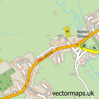
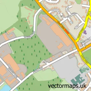
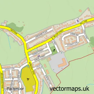
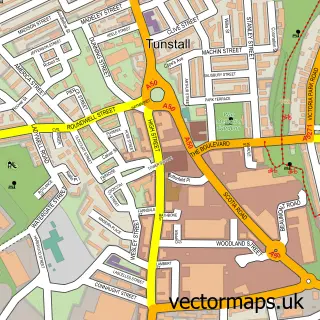
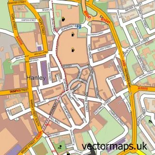
Nearby street map samples around Burslem

More street maps in Staffordshire
750 metre map area coverage
Boundary, postcode and point of interest information for the 750m x 750m rectangle centred on this sample map.
Boundaries containing map centre
Constituency: Stoke-on-Trent North Boro Const
District: City of Stoke-on-Trent (B)
Icb: NHS Staffordshire and Stoke-on-Trent ICB
Police Force: staffordshire
Postcode District: ST6
Postcode Sector: ST6 3
Ward: Burslem Ward
Nearby boundaries intersecting sample
Postcode Sector: ST6 1, ST6 2, ST6 4
Ward: Burslem Park Ward, Moorcroft & Sneyd Green Ward
Postcode coverage
POI category counts
Pub: 18
Beauty Salon: 11
Restaurant: 11
Indian Restaurant: 9
Professional Services: 9
Fast Food Restaurant: 7
Church Cathedral: 6
Contractor: 6
Bridal Shop: 5
Dentist: 5
Sample points of interest
- 3D Print Academy
- A Wood and Co LLP
- Accountants Stoke-On-Trent - The Davison Partnership
- Beaumonts Chartered Accountants
- Jet Shop
- Atlantis Evolution
- Logbooked
- Nebron Graphic
- Ooh-Ar Ltd.
- Origin Studios Stoke on Trent
- Afghan Palace Restaurant
- Denry's
Create a larger editable map of Burslem
This sample shows only a 750 metre area. To create a larger map of Burslem, use our map builder to choose your own coverage area, add titles and download editable SVG, PDF and PNG files.
Create a custom map of Burslem