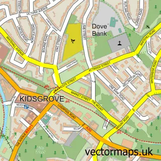
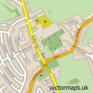
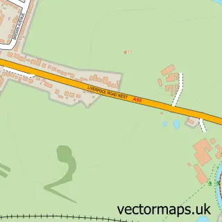
This Packmoor street map is a detailed vector street map covering a 750m x 750m area. Select a larger area to create and download your own vector street map of Packmoor.
The 750-metre map sample for Packmoor covers 281 mapped buildings and approximately 10.7 km of road detail, of which 21 named roads are named. The immediate area includes 1 school, 4 GP surgeries within 2 miles, 1 pub and 1 MOT station, with 13 within 2 miles. The wider area around Packmoor features 1 food and drink venue. To create a larger or custom map of Packmoor, the map builder lets you define your own coverage area and download editable SVG, PDF and PNG files.
Create a larger editable map of Packmoor
Choose any area you need and generate a high-quality vector map instantly. Perfect for print, planning, design, business and personal use.

This Packmoor street map in Staffordshire is available as downloadable SVG, PDF and PNG map files, or as a printed map for planning, business, display, education, local information and design work. You can also create a larger custom map area using the map selector.
What this Packmoor map sample shows
Packmoor lies within Kidsgrove Cp parish, part of Newchapel & Mow Cop ward in the Newcastle-Under-Lyme District (B) local authority area. The postcode geography for this area includes the ST postcode area, the ST7 postcode district and the ST7 4 postcode sector. Residents fall under the Nhs Staffordshire And Stoke-On-Trent Integrated Care Board for NHS services.
Local features near Packmoor
Within 2 milesAmenities and services in and around Packmoor.
Administrative and postcode information for Packmoor
Packmoor lies within Kidsgrove Cp parish, part of Newchapel & Mow Cop ward in the Newcastle-Under-Lyme District (B) local authority area. The postcode geography for this area includes the ST postcode area, the ST7 postcode district and the ST7 4 postcode sector. Residents fall under the Nhs Staffordshire And Stoke-On-Trent Integrated Care Board for NHS services.
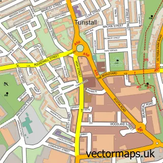
Nearby street map samples around Packmoor

More street maps in Staffordshire
750 metre map area coverage
Boundary, postcode and point of interest information for the 750m x 750m rectangle centred on this sample map.
Boundaries containing map centre
Constituency: Stoke-on-Trent North Boro Const
District: City of Stoke-on-Trent (B)
Icb: NHS Staffordshire and Stoke-on-Trent ICB
Police Force: staffordshire
Postcode District: ST7
Postcode Sector: ST7 4
Ward: Great Chell & Packmoor Ward
Nearby boundaries intersecting sample
County: Staffordshire County
District: Newcastle-under-Lyme District (B)
Parish: Kidsgrove CP
Postcode District: ST8
Postcode Sector: ST8 7
Ward: Newchapel & Mow Cop Ward
Postcode coverage
POI category counts
It Service And Computer Repair: 3
Fish And Chips Restaurant: 2
Scout Hall: 2
Accountant: 1
Arts And Entertainment: 1
Automotive Repair: 1
Car Wash: 1
Child Care And Day Care: 1
Church Cathedral: 1
Cleaning Services: 1
Sample points of interest
- Scott Accounting Services
- Swallow On The Corner
- High Lane Autos
- Gleam Clean Valeting Ltd.
- Sharon Hancock Registered Childminder
- Packmoor Methodist Church
- Dolly Char Stoke and Macclesfield
- Packmoor Community Hall
- Lancaster Lifestyle Solutions
- Tunstall Primary Care – Packmoor Branch
- Gareth's Driving School
- Packmoor Ormiston Academy
Create a larger editable map of Packmoor
This sample shows only a 750 metre area. To create a larger map of Packmoor, use our map builder to choose your own coverage area, add titles and download editable SVG, PDF and PNG files.
Create a custom map of Packmoor