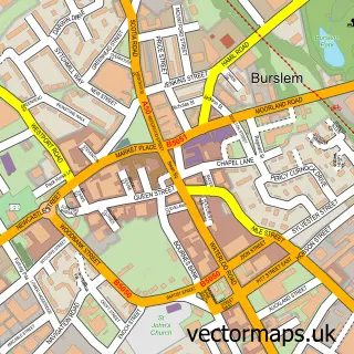
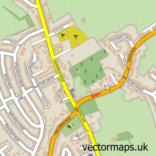
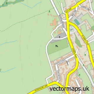
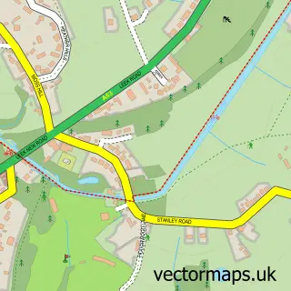
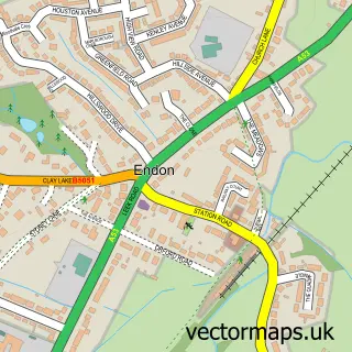
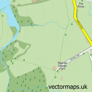
This Norton Green street map is a detailed vector street map covering a 750m x 750m area. Select a larger area to create and download your own vector street map of Norton Green.
The 750-metre map sample for Norton Green covers 187 mapped buildings and approximately 7.0 km of road detail, of which 16 named roads are named. The immediate area includes 4 GP surgeries within 2 miles, 1 pub and 8 MOT stations within 2 miles. The wider area around Norton Green features 1 food and drink venue. To create a larger or custom map of Norton Green, the map builder lets you define your own coverage area and download editable SVG, PDF and PNG files.
Create a larger editable map of Norton Green
Choose any area you need and generate a high-quality vector map instantly. Perfect for print, planning, design, business and personal use.

This Norton Green street map in Staffordshire is available as downloadable SVG, PDF and PNG map files, or as a printed map for planning, business, display, education, local information and design work. You can also create a larger custom map area using the map selector.
What this Norton Green map sample shows
Norton Green lies within City Of Stoke-On-Trent (B) parish, part of Baddeley, Milton And Norton ward in the City Of Stoke-On-Trent (B) local authority area. The postcode geography for this area includes the ST postcode area, the ST6 postcode district and the ST6 8 postcode sector. Residents fall under the Nhs Staffordshire And Stoke-On-Trent Integrated Care Board for NHS services.
Local features near Norton Green
Within 2 milesAmenities and services in and around Norton Green.
Administrative and postcode information for Norton Green
Norton Green lies within City Of Stoke-On-Trent (B) parish, part of Baddeley, Milton And Norton ward in the City Of Stoke-On-Trent (B) local authority area. The postcode geography for this area includes the ST postcode area, the ST6 postcode district and the ST6 8 postcode sector. Residents fall under the Nhs Staffordshire And Stoke-On-Trent Integrated Care Board for NHS services.
Nearby street map samples around Norton Green

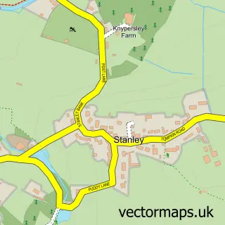
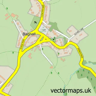
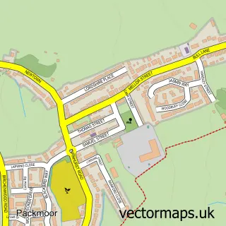
More street maps in Staffordshire
750 metre map area coverage
Boundary, postcode and point of interest information for the 750m x 750m rectangle centred on this sample map.
Boundaries containing map centre
Constituency: Stoke-on-Trent North Boro Const
District: City of Stoke-on-Trent (B)
Icb: NHS Staffordshire and Stoke-on-Trent ICB
Police Force: staffordshire
Postcode District: ST6
Postcode Sector: ST6 8
Ward: Baddeley, Milton & Norton Ward
Nearby boundaries intersecting sample
No additional intersecting boundaries found.
Postcode coverage
POI category counts
Advertising Agency: 1
Beauty And Spa: 1
Beauty Salon: 1
Bookkeeper: 1
Contractor: 1
Hair Salon: 1
Home Service: 1
Hvac Services: 1
Photography Store And Services: 1
Pub: 1
Sample points of interest
- Sue Landon Design
- Lovatt Hair Studios
- Meraki skin body nails
- Nathan Stevenson Bookkeeping
- Newford Plastics Limited
- The Salon by Melissa
- Brook Cottage Childcare
- Blue Flame
- 1st Cameras
- Foaming Quart
- Trentside Manor Care Home
Create a larger editable map of Norton Green
This sample shows only a 750 metre area. To create a larger map of Norton Green, use our map builder to choose your own coverage area, add titles and download editable SVG, PDF and PNG files.
Create a custom map of Norton Green