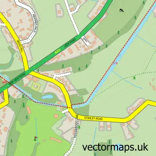
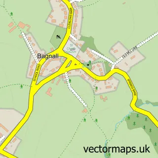
This Stanley street map is a detailed vector street map covering a 750m x 750m area. Select a larger area to create and download your own vector street map of Stanley.
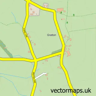
The 750-metre map sample for Stanley covers 99 mapped buildings and approximately 5.0 km of road detail, of which 4 named roads are named. The immediate area includes 1 GP surgery within 2 miles, 3 pubs and 3 MOT stations within 2 miles. The wider area around Stanley features 3 food and drink venues. To create a larger or custom map of Stanley, the map builder lets you define your own coverage area and download editable SVG, PDF and PNG files.
Create a larger editable map of Stanley
Choose any area you need and generate a high-quality vector map instantly. Perfect for print, planning, design, business and personal use.

This Stanley street map in Staffordshire is available as downloadable SVG, PDF and PNG map files, or as a printed map for planning, business, display, education, local information and design work. You can also create a larger custom map area using the map selector.
What this Stanley map sample shows
Stanley lies within Bagnall Cp parish, part of Bagnall And Stanley ward in the Staffordshire Moorlands District local authority area. The postcode geography for this area includes the ST postcode area, the ST9 postcode district and the ST9 9 postcode sector. Residents fall under the Nhs Staffordshire And Stoke-On-Trent Integrated Care Board for NHS services.
Local features near Stanley
Within 2 milesAmenities and services in and around Stanley.
Administrative and postcode information for Stanley
Stanley lies within Bagnall Cp parish, part of Bagnall And Stanley ward in the Staffordshire Moorlands District local authority area. The postcode geography for this area includes the ST postcode area, the ST9 postcode district and the ST9 9 postcode sector. Residents fall under the Nhs Staffordshire And Stoke-On-Trent Integrated Care Board for NHS services.
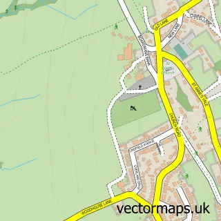
Nearby street map samples around Stanley

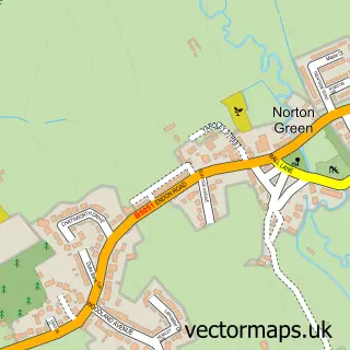
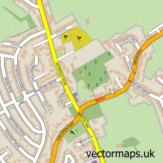
More street maps in Staffordshire
750 metre map area coverage
Boundary, postcode and point of interest information for the 750m x 750m rectangle centred on this sample map.
Boundaries containing map centre
Constituency: Staffordshire Moorlands Co Const
County: Staffordshire County
District: Staffordshire Moorlands District
Icb: NHS Staffordshire and Stoke-on-Trent ICB
Parish: Endon and Stanley CP
Police Force: staffordshire
Postcode District: ST9
Postcode Sector: ST9 9
Ward: Bagnall and Stanley Ward
Nearby boundaries intersecting sample
Parish: Bagnall CP
Postcode coverage
POI category counts
Pub: 3
Sports Club And League: 2
Active Life: 1
Business Manufacturing And Supply: 1
Garbage Collection Service: 1
Holiday Rental Home: 1
Rental Service: 1
Sailing Club: 1
Sample points of interest
- Stanley Village
- Corinthian Stone Ltd
- McGuinness Bros Skip Hire
- Jasmine Cottage
- The Travellers Rest
- The Travellers Rest
- Travellers Rest
- Machin Plant Hire
- North Staffs Sailing Club
- Endon Cricket Club
- Stoke-On-Trent Boat Club
Create a larger editable map of Stanley
This sample shows only a 750 metre area. To create a larger map of Stanley, use our map builder to choose your own coverage area, add titles and download editable SVG, PDF and PNG files.
Create a custom map of Stanley