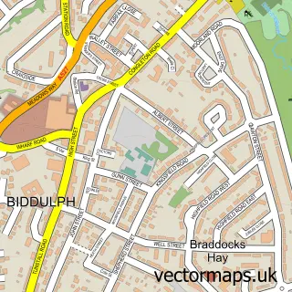
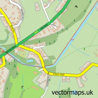
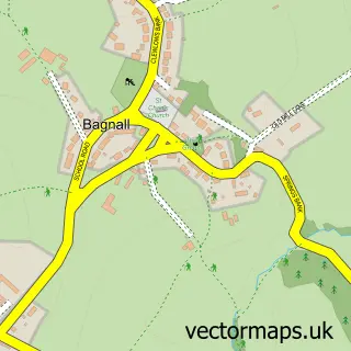
This Brown Edge street map is a detailed vector street map covering a 750m x 750m area. Select a larger area to create and download your own vector street map of Brown Edge.
The 750-metre map sample for Brown Edge covers 249 mapped buildings and approximately 9.5 km of road detail, of which 14 named roads are named. The immediate area includes 1 school, 2 GP surgeries within 2 miles and 4 MOT stations within 2 miles. To create a larger or custom map of Brown Edge, the map builder lets you define your own coverage area and download editable SVG, PDF and PNG files.
Create a larger editable map of Brown Edge
Choose any area you need and generate a high-quality vector map instantly. Perfect for print, planning, design, business and personal use.

This Brown Edge street map in Staffordshire is available as downloadable SVG, PDF and PNG map files, or as a printed map for planning, business, display, education, local information and design work. You can also create a larger custom map area using the map selector.
What this Brown Edge map sample shows
Brown Edge lies within Brown Edge Cp parish, part of Brown Edge And Endon ward in the Staffordshire Moorlands District local authority area. The postcode geography for this area includes the ST postcode area, the ST6 postcode district and the ST6 8 postcode sector. Residents fall under the Nhs Staffordshire And Stoke-On-Trent Integrated Care Board for NHS services.
Local features near Brown Edge
Within 2 milesAmenities and services in and around Brown Edge.
Administrative and postcode information for Brown Edge
Brown Edge lies within Brown Edge Cp parish, part of Brown Edge And Endon ward in the Staffordshire Moorlands District local authority area. The postcode geography for this area includes the ST postcode area, the ST6 postcode district and the ST6 8 postcode sector. Residents fall under the Nhs Staffordshire And Stoke-On-Trent Integrated Care Board for NHS services.
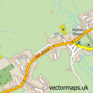
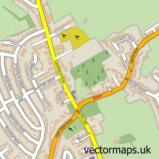
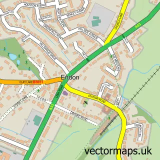
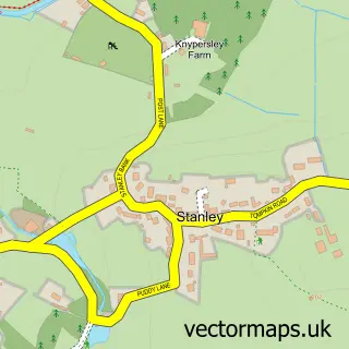
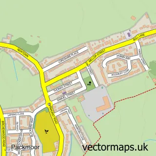
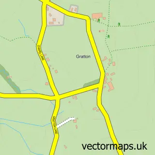
Nearby street map samples around Brown Edge

More street maps in Staffordshire
750 metre map area coverage
Boundary, postcode and point of interest information for the 750m x 750m rectangle centred on this sample map.
Boundaries containing map centre
Constituency: Staffordshire Moorlands Co Const
County: Staffordshire County
District: Staffordshire Moorlands District
Icb: NHS Staffordshire and Stoke-on-Trent ICB
Parish: Brown Edge CP
Police Force: staffordshire
Postcode District: ST6
Postcode Sector: ST6 8
Ward: Brown Edge and Endon Ward
Nearby boundaries intersecting sample
No additional intersecting boundaries found.
Postcode coverage
POI category counts
Anglican Church: 2
Elementary School: 2
Church Cathedral: 1
Dry Cleaning: 1
Elevator Service: 1
Event Planning: 1
Flowers And Gifts Shop: 1
Interior Design: 1
Pharmaceutical Products Wholesaler: 1
Sample points of interest
- Connect2 Community Church
- St. Anne - Brown Edge
- St Anne's Church
- Grange Laundry
- NESWEC - Steiner Early Years Training
- St Annes C of E Primary School
- Elevations VTS LTD
- Brown Edge Village Halls
- Creative Florist
- Hibbitt Decorators
- Dorilyn
Create a larger editable map of Brown Edge
This sample shows only a 750 metre area. To create a larger map of Brown Edge, use our map builder to choose your own coverage area, add titles and download editable SVG, PDF and PNG files.
Create a custom map of Brown Edge