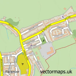
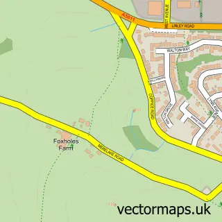
This Tunstall street map is a detailed vector street map covering a 750m x 750m area. Select a larger area to create and download your own vector street map of Tunstall.
The 750-metre map sample for Tunstall covers 285 mapped buildings and approximately 26.4 km of road detail, of which 71 named roads are named. The immediate area includes 2 schools, 1 GP surgery, with 11 within 2 miles, 12 pubs and 6 MOT stations, with 38 within 2 miles. The wider area around Tunstall features 2 tourism points of interest, 28 food and drink venues and 2 hotels. To create a larger or custom map of Tunstall, the map builder lets you define your own coverage area and download editable SVG, PDF and PNG files.
Create a larger editable map of Tunstall
Choose any area you need and generate a high-quality vector map instantly. Perfect for print, planning, design, business and personal use.

This Tunstall street map in Staffordshire is available as downloadable SVG, PDF and PNG map files, or as a printed map for planning, business, display, education, local information and design work. You can also create a larger custom map area using the map selector.
What this Tunstall map sample shows
Tunstall lies within City Of Stoke-On-Trent (B) parish, part of Tunstall ward in the City Of Stoke-On-Trent (B) local authority area. The postcode geography for this area includes the ST postcode area, the ST6 postcode district and the ST6 5 postcode sector. Residents fall under the Nhs Staffordshire And Stoke-On-Trent Integrated Care Board for NHS services.
Local features near Tunstall
Within 2 milesAmenities and services in and around Tunstall.
Administrative and postcode information for Tunstall
The local authority covering Tunstall is City Of Stoke-On-Trent (B), within the county of Staffordshire. The settlement lies within Tunstall ward and City Of Stoke-On-Trent (B) civil parish. The ST6 postcode district and ST6 5 postcode sector serve the immediate area. NHS provision in the area is delivered through University Hospitals Of North Midlands Nhs Trust.
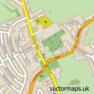
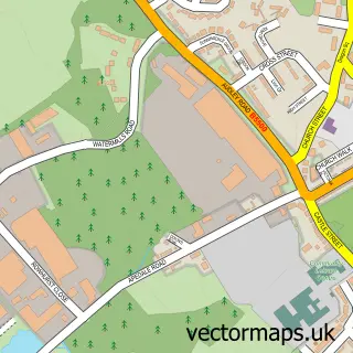
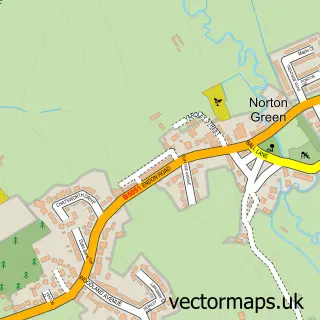
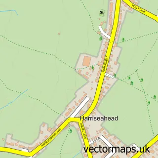
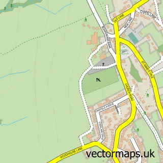
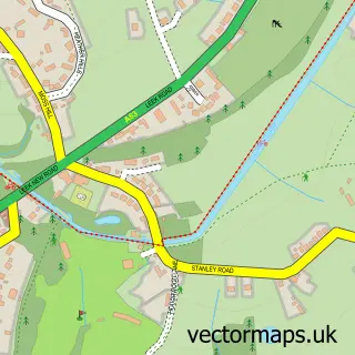
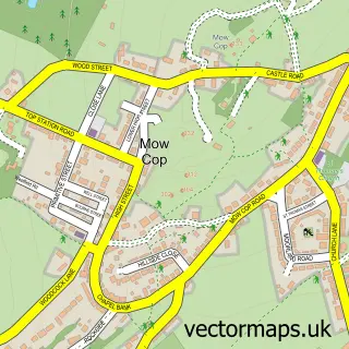
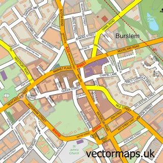
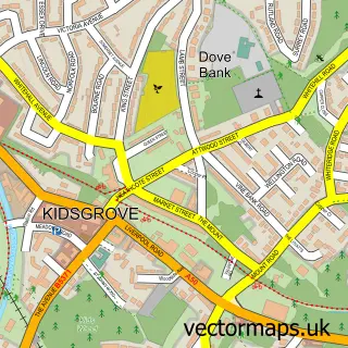
Nearby street map samples around Tunstall

More street maps in Staffordshire
750 metre map area coverage
Boundary, postcode and point of interest information for the 750m x 750m rectangle centred on this sample map.
Boundaries containing map centre
Constituency: Stoke-on-Trent North Boro Const
District: City of Stoke-on-Trent (B)
Icb: NHS Staffordshire and Stoke-on-Trent ICB
Police Force: staffordshire
Postcode District: ST6
Postcode Sector: ST6 5
Ward: Tunstall Ward
Nearby boundaries intersecting sample
Postcode Sector: ST6 6
Ward: Little Chell & Stanfield Ward
Postcode coverage
POI category counts
Fast Food Restaurant: 13
Pub: 12
Automotive Repair: 10
Professional Services: 10
Beauty Salon: 9
Barber: 7
Furniture Store: 7
Clothing Store: 6
Doctor: 6
Restaurant: 6
Sample points of interest
- Employment & Skills Hub
- Netinspire Ltd.
- Roy Kirkham & Co
- Eric Alcock
- Spectrum Appliances Stoke
- Staffs Appliance Centre
- The Coral Warehouse
- Hobby Craft Supplies
- Tower Bingo
- Asda Tunstall 1, Tunstall
- Cashpoint® Tower Square
- Tunstall Memorial Gardens
Create a larger editable map of Tunstall
This sample shows only a 750 metre area. To create a larger map of Tunstall, use our map builder to choose your own coverage area, add titles and download editable SVG, PDF and PNG files.
Create a custom map of Tunstall