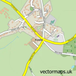
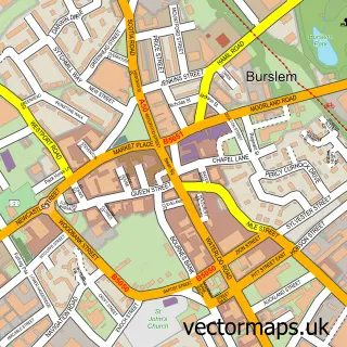
This Chesterton street map is a detailed vector street map covering a 750m x 750m area. Select a larger area to create and download your own vector street map of Chesterton.
The 750-metre map sample for Chesterton covers 157 mapped buildings and approximately 11.0 km of road detail, of which 26 named roads are named. The immediate area includes 1 school, 7 GP surgeries within 2 miles, 1 pub and 1 MOT station, with 19 within 2 miles. The wider area around Chesterton features 1 tourism point of interest and 1 food and drink venue. To create a larger or custom map of Chesterton, the map builder lets you define your own coverage area and download editable SVG, PDF and PNG files.
Create a larger editable map of Chesterton
Choose any area you need and generate a high-quality vector map instantly. Perfect for print, planning, design, business and personal use.

This Chesterton street map in Staffordshire is available as downloadable SVG, PDF and PNG map files, or as a printed map for planning, business, display, education, local information and design work. You can also create a larger custom map area using the map selector.
What this Chesterton map sample shows
Chesterton lies within Staffordshire County parish, part of Holditch & Chesterton ward in the Newcastle-Under-Lyme District (B) local authority area. The postcode geography for this area includes the ST postcode area, the ST5 postcode district and the ST5 7 postcode sector. Residents fall under the Nhs Staffordshire And Stoke-On-Trent Integrated Care Board for NHS services.
Local features near Chesterton
Within 2 milesAmenities and services in and around Chesterton.
Administrative and postcode information for Chesterton
The local authority covering Chesterton is Newcastle-Under-Lyme District (B), within the county of Staffordshire. The settlement lies within Holditch & Chesterton ward and Staffordshire County civil parish. The ST5 postcode district and ST5 7 postcode sector serve the immediate area. NHS provision in the area is delivered through University Hospitals Of North Midlands Nhs Trust.
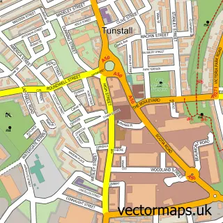
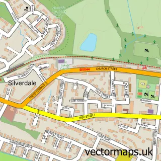
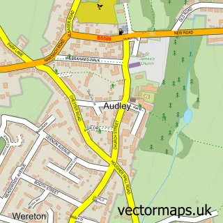
Nearby street map samples around Chesterton

More street maps in Staffordshire
750 metre map area coverage
Boundary, postcode and point of interest information for the 750m x 750m rectangle centred on this sample map.
Boundaries containing map centre
Constituency: Newcastle-under-Lyme Co Const
County: Staffordshire County
District: Newcastle-under-Lyme District (B)
Icb: NHS Staffordshire and Stoke-on-Trent ICB
Police Force: staffordshire
Postcode District: ST5
Postcode Sector: ST5 6
Ward: Holditch & Chesterton Ward
Nearby boundaries intersecting sample
Postcode Sector: ST5 7
Ward: Crackley & Red Street Ward
Postcode coverage
POI category counts
Professional Services: 5
Business Manufacturing And Supply: 3
Church Cathedral: 3
Building Supply Store: 2
Freight And Cargo Service: 2
Organization: 2
School: 2
Sporting Goods: 2
Sports Club And League: 2
Anglican Church: 1
Sample points of interest
- Chesterton Holy Trinity
- Adept Vehicle Management
- Hepher Electrical Services
- Tarmac Chesterton Concrete Plant
- Latham International Ltd.
- Broxap Limited
- Hand Made Places
- Ibstock Brick Chesterton
- Ibstock
- Holy Trinity C of E Church
- Holy Trinity Parish Church
- Parohia Ortodoxă Română Stoke-on-Trent & Crewe
Create a larger editable map of Chesterton
This sample shows only a 750 metre area. To create a larger map of Chesterton, use our map builder to choose your own coverage area, add titles and download editable SVG, PDF and PNG files.
Create a custom map of Chesterton