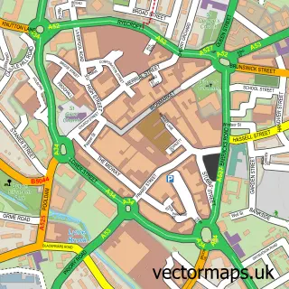
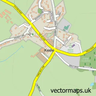
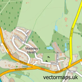
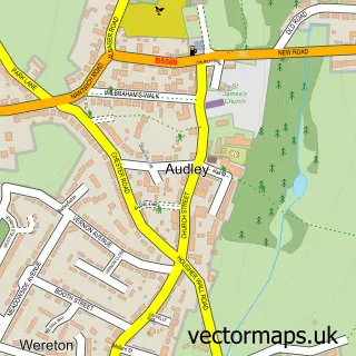
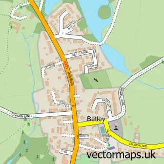
This Silverdale street map is a detailed vector street map covering a 750m x 750m area. Select a larger area to create and download your own vector street map of Silverdale.
The 750-metre map sample for Silverdale covers 465 mapped buildings and approximately 16.5 km of road detail, of which 48 named roads are named. The immediate area includes 1 GP surgery, with 5 within 2 miles, 5 pubs and 19 MOT stations within 2 miles. The wider area around Silverdale features 2 tourism points of interest and 8 food and drink venues. To create a larger or custom map of Silverdale, the map builder lets you define your own coverage area and download editable SVG, PDF and PNG files.
Create a larger editable map of Silverdale
Choose any area you need and generate a high-quality vector map instantly. Perfect for print, planning, design, business and personal use.

This Silverdale street map in Staffordshire is available as downloadable SVG, PDF and PNG map files, or as a printed map for planning, business, display, education, local information and design work. You can also create a larger custom map area using the map selector.
What this Silverdale map sample shows
Silverdale lies within Silverdale Cp parish, part of Silverdale ward in the Newcastle-Under-Lyme District (B) local authority area. The postcode geography for this area includes the ST postcode area, the ST5 postcode district and the ST5 6 postcode sector. Residents fall under the Nhs Staffordshire And Stoke-On-Trent Integrated Care Board for NHS services.
Local features near Silverdale
Within 2 milesAmenities and services in and around Silverdale.
Administrative and postcode information for Silverdale
Silverdale lies within Silverdale Cp parish, part of Silverdale ward in the Newcastle-Under-Lyme District (B) local authority area. The postcode geography for this area includes the ST postcode area, the ST5 postcode district and the ST5 6 postcode sector. Residents fall under the Nhs Staffordshire And Stoke-On-Trent Integrated Care Board for NHS services.
Nearby street map samples around Silverdale

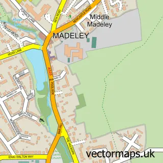
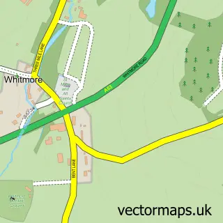
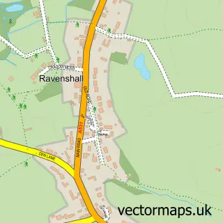
More street maps in Staffordshire
750 metre map area coverage
Boundary, postcode and point of interest information for the 750m x 750m rectangle centred on this sample map.
Boundaries containing map centre
Constituency: Newcastle-under-Lyme Co Const
County: Staffordshire County
District: Newcastle-under-Lyme District (B)
Icb: NHS Staffordshire and Stoke-on-Trent ICB
Parish: Silverdale CP
Police Force: staffordshire
Postcode District: ST5
Postcode Sector: ST5 6
Ward: Silverdale Ward
Nearby boundaries intersecting sample
No additional intersecting boundaries found.
Postcode coverage
POI category counts
Pub: 5
Convenience Store: 4
Beauty Salon: 3
Home Improvement Store: 3
Pharmacy: 3
Professional Services: 3
Bicycle Shop: 2
Doctor: 2
Hair Salon: 2
Park: 2
Sample points of interest
- Silverdale S.Luke
- The Cooperative Food (BF) Parade (ERF), Silverdale
- Roscillis
- Ashbourne Aesthetics By Julie
- BM Aesthetics
- Stephen Miller Group
- Spokes Bike Shop
- Spokes Bikeshop LTD
- S & S Furniture
- First P M T Travel Shop
- The Little Cake Shack Silverdale
- Frangos Chicken
Create a larger editable map of Silverdale
This sample shows only a 750 metre area. To create a larger map of Silverdale, use our map builder to choose your own coverage area, add titles and download editable SVG, PDF and PNG files.
Create a custom map of Silverdale