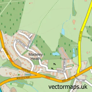
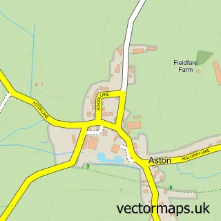
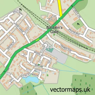
This Madeley street map is a detailed vector street map covering a 750m x 750m area. Select a larger area to create and download your own vector street map of Madeley.
The 750-metre map sample for Madeley covers 300 mapped buildings and approximately 13.0 km of road detail, of which 27 named roads are named. The immediate area includes 1 school, 1 GP surgery within 2 miles, 2 pubs and 1 MOT station within 2 miles. The wider area around Madeley features 1 tourism point of interest, 4 food and drink venues and 1 hotel. To create a larger or custom map of Madeley, the map builder lets you define your own coverage area and download editable SVG, PDF and PNG files.
Create a larger editable map of Madeley
Choose any area you need and generate a high-quality vector map instantly. Perfect for print, planning, design, business and personal use.

This Madeley street map in Staffordshire is available as downloadable SVG, PDF and PNG map files, or as a printed map for planning, business, display, education, local information and design work. You can also create a larger custom map area using the map selector.
What this Madeley map sample shows
Madeley lies within Madeley Cp parish, part of Madeley & Betley ward in the Newcastle-Under-Lyme District (B) local authority area. The postcode geography for this area includes the CW postcode area, the CW3 postcode district and the CW3 9 postcode sector. Residents fall under the Nhs Staffordshire And Stoke-On-Trent Integrated Care Board for NHS services.
Local features near Madeley
Within 2 milesAmenities and services in and around Madeley.
Administrative and postcode information for Madeley
Madeley lies within Madeley Cp parish, part of Madeley & Betley ward in the Newcastle-Under-Lyme District (B) local authority area. The postcode geography for this area includes the CW postcode area, the CW3 postcode district and the CW3 9 postcode sector. Residents fall under the Nhs Staffordshire And Stoke-On-Trent Integrated Care Board for NHS services.
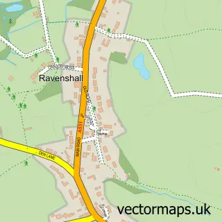
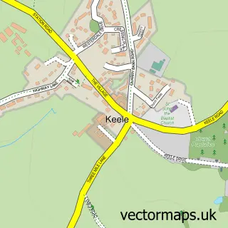
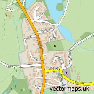
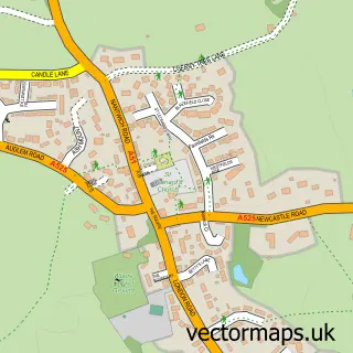
Nearby street map samples around Madeley

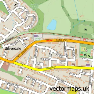
More street maps in Staffordshire
750 metre map area coverage
Boundary, postcode and point of interest information for the 750m x 750m rectangle centred on this sample map.
Boundaries containing map centre
Constituency: Newcastle-under-Lyme Co Const
County: Staffordshire County
District: Newcastle-under-Lyme District (B)
Icb: NHS Staffordshire and Stoke-on-Trent ICB
Parish: Madeley CP
Police Force: staffordshire
Postcode District: CW3
Postcode Sector: CW3 9
Ward: Madeley & Betley Ward
Nearby boundaries intersecting sample
No additional intersecting boundaries found.
Postcode coverage
POI category counts
Convenience Store: 3
Pet Store: 3
Asian Fusion Restaurant: 2
Dentist: 2
Hair Salon: 2
Meat Wholesaler: 2
Pub: 2
Shipping Center: 2
Atms: 1
Barber: 1
Sample points of interest
- Evening Spice
- Evening Spice
- Payzone
- Jones The Barbershop
- Laura's Beauty
- The Stables Restaurant
- Shepley Family Butchers
- Tang's Dynasty
- Madeley Methodist Church
- Homers
- The Madeley Centre
- Steven Plant Plastering
Create a larger editable map of Madeley
This sample shows only a 750 metre area. To create a larger map of Madeley, use our map builder to choose your own coverage area, add titles and download editable SVG, PDF and PNG files.
Create a custom map of Madeley