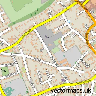
This Woore street map is a detailed vector street map covering a 750m x 750m area. Select a larger area to create and download your own vector street map of Woore.
The 750-metre map sample for Woore covers 256 mapped buildings and approximately 11.3 km of road detail, of which 21 named roads are named. The immediate area includes 1 school and 2 pubs. The wider area around Woore features 1 tourism point of interest and 2 food and drink venues. To create a larger or custom map of Woore, the map builder lets you define your own coverage area and download editable SVG, PDF and PNG files.
Create a larger editable map of Woore
Choose any area you need and generate a high-quality vector map instantly. Perfect for print, planning, design, business and personal use.

This Woore street map in Shropshire is available as downloadable SVG, PDF and PNG map files, or as a printed map for planning, business, display, education, local information and design work. You can also create a larger custom map area using the map selector.
What this Woore map sample shows
Woore lies within Woore Cp parish, part of Market Drayton East ward in the Shropshire local authority area. The postcode geography for this area includes the CW postcode area, the CW3 postcode district and the CW3 9 postcode sector. Residents fall under the Nhs Shropshire, Telford And Wrekin Integrated Care Board for NHS services.
Local features near Woore
Within 2 milesAmenities and services in and around Woore.
Administrative and postcode information for Woore
Woore lies within Woore Cp parish, part of Market Drayton East ward in the Shropshire local authority area. The postcode geography for this area includes the CW postcode area, the CW3 postcode district and the CW3 9 postcode sector. Residents fall under the Nhs Shropshire, Telford And Wrekin Integrated Care Board for NHS services.
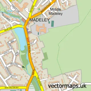
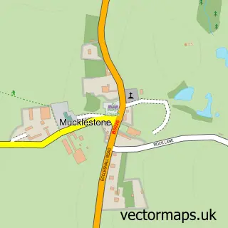
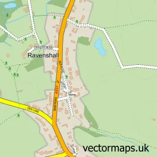
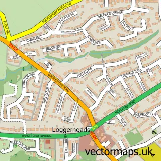
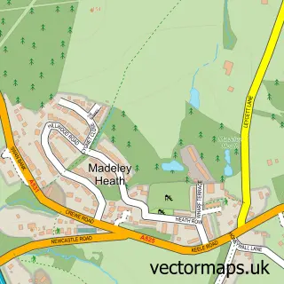
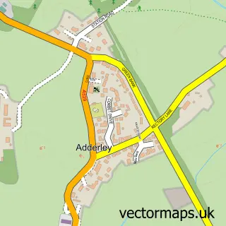
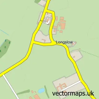
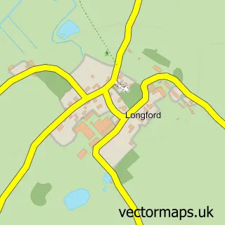
Nearby street map samples around Woore

More street maps in Shropshire
750 metre map area coverage
Boundary, postcode and point of interest information for the 750m x 750m rectangle centred on this sample map.
Boundaries containing map centre
Constituency: North Shropshire Co Const
District: Shropshire
Icb: NHS Shropshire Telford and Wrekin ICB
Parish: Woore CP
Police Force: west mercia
Postcode District: CW3
Postcode Sector: CW3 9
Nearby boundaries intersecting sample
No additional intersecting boundaries found.
Postcode coverage
POI category counts
Sports Club And League: 3
Books Mags Music And Video: 2
Convenience Store: 2
Pub: 2
Anglican Church: 1
Bakery: 1
Bridal Shop: 1
Church Cathedral: 1
Craft Shop: 1
Currency Exchange: 1
Sample points of interest
- Woore St Leonard
- G.P. Snape Traditional Artisan Bakers
- Post Office-Woore
- Woore Post Office
- Shoe Dyeing Direct
- St Leonard's Church
- Costcutter - The Square, Woore
- Woore Country Store
- Quilters Trading Post
- Post Office Travel Money
- Jim's Driving Tuition
- Woore Primary School
Create a larger editable map of Woore
This sample shows only a 750 metre area. To create a larger map of Woore, use our map builder to choose your own coverage area, add titles and download editable SVG, PDF and PNG files.
Create a custom map of Woore