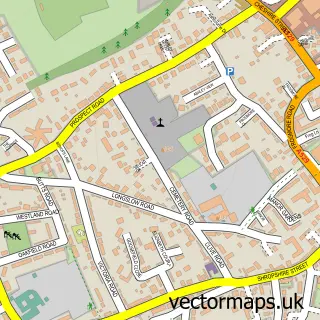
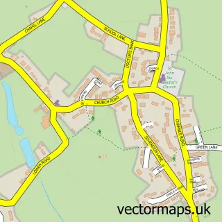
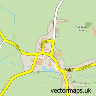
This Loggerheads street map is a detailed vector street map covering a 750m x 750m area. Select a larger area to create and download your own vector street map of Loggerheads.
The 750-metre map sample for Loggerheads covers 589 mapped buildings and approximately 21.7 km of road detail, of which 42 named roads are named. The immediate area includes 1 GP surgery within 2 miles and 1 pub. The wider area around Loggerheads features 2 food and drink venues. To create a larger or custom map of Loggerheads, the map builder lets you define your own coverage area and download editable SVG, PDF and PNG files.
Create a larger editable map of Loggerheads
Choose any area you need and generate a high-quality vector map instantly. Perfect for print, planning, design, business and personal use.

This Loggerheads street map in Staffordshire is available as downloadable SVG, PDF and PNG map files, or as a printed map for planning, business, display, education, local information and design work. You can also create a larger custom map area using the map selector.
What this Loggerheads map sample shows
Loggerheads lies within Loggerheads Cp parish, part of Loggerheads ward in the Newcastle-Under-Lyme District (B) local authority area. The postcode geography for this area includes the TF postcode area, the TF9 postcode district and the TF9 4 postcode sector. Residents fall under the Nhs Staffordshire And Stoke-On-Trent Integrated Care Board for NHS services.
Local features near Loggerheads
Within 2 milesAmenities and services in and around Loggerheads.
Administrative and postcode information for Loggerheads
Loggerheads lies within Loggerheads Cp parish, part of Loggerheads ward in the Newcastle-Under-Lyme District (B) local authority area. The postcode geography for this area includes the TF postcode area, the TF9 postcode district and the TF9 4 postcode sector. Residents fall under the Nhs Staffordshire And Stoke-On-Trent Integrated Care Board for NHS services.
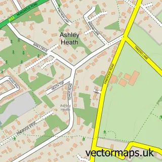
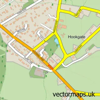
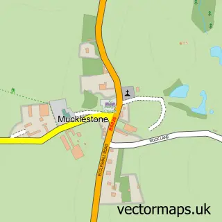
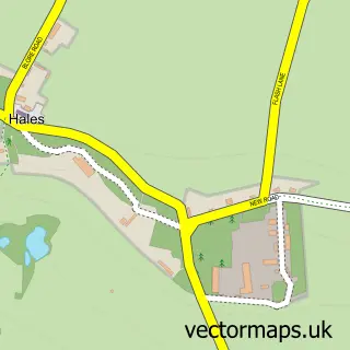
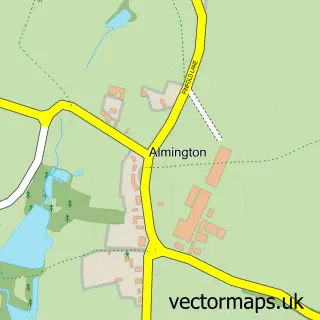
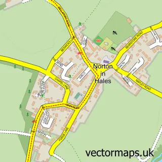
Nearby street map samples around Loggerheads

More street maps in Staffordshire
750 metre map area coverage
Boundary, postcode and point of interest information for the 750m x 750m rectangle centred on this sample map.
Boundaries containing map centre
Constituency: Stafford Co Const
County: Staffordshire County
District: Newcastle-under-Lyme District (B)
Icb: NHS Staffordshire and Stoke-on-Trent ICB
Parish: Loggerheads CP
Police Force: staffordshire
Postcode District: TF9
Postcode Sector: TF9 4
Ward: Loggerheads Ward
Nearby boundaries intersecting sample
Postcode Sector: TF9 2
Postcode coverage
POI category counts
Beauty Salon: 3
Professional Services: 3
Chinese Restaurant: 2
Package Locker: 2
Shipping Center: 2
Accommodation: 1
Atms: 1
Auto Customization: 1
Auto Detailing: 1
Business Consulting: 1
Sample points of interest
- Rowley Hall
- The Cooperative Food (BF) Loggerheads, Loggerheads
- SP Professional Services
- Titans Valet - Mobile valet and detailing
- Adam Josef
- Hair by Emily
- LouisaMaria.hausofbeauty
- Novasci Limited
- Auto flash Car Wash Ltd
- Exotic Products
- Ambrosia
- Mandalay - Loggerheads Takeaway & Chippy
Create a larger editable map of Loggerheads
This sample shows only a 750 metre area. To create a larger map of Loggerheads, use our map builder to choose your own coverage area, add titles and download editable SVG, PDF and PNG files.
Create a custom map of Loggerheads