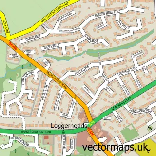
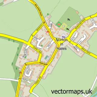
This Ashley Heath street map is a detailed vector street map covering a 750m x 750m area. Select a larger area to create and download your own vector street map of Ashley Heath.
The 750-metre map sample for Ashley Heath covers 282 mapped buildings and approximately 10.3 km of road detail, of which 13 named roads are named. The immediate area includes 1 GP surgery within 2 miles. To create a larger or custom map of Ashley Heath, the map builder lets you define your own coverage area and download editable SVG, PDF and PNG files.
Create a larger editable map of Ashley Heath
Choose any area you need and generate a high-quality vector map instantly. Perfect for print, planning, design, business and personal use.

This Ashley Heath street map in Staffordshire is available as downloadable SVG, PDF and PNG map files, or as a printed map for planning, business, display, education, local information and design work. You can also create a larger custom map area using the map selector.
What this Ashley Heath map sample shows
Ashley Heath lies within Loggerheads Cp parish, part of Loggerheads ward in the Newcastle-Under-Lyme District (B) local authority area. The postcode geography for this area includes the TF postcode area, the TF9 postcode district and the TF9 4 postcode sector. Residents fall under the Nhs Staffordshire And Stoke-On-Trent Integrated Care Board for NHS services.
Local features near Ashley Heath
Within 2 milesAmenities and services in and around Ashley Heath.
Administrative and postcode information for Ashley Heath
The local authority covering Ashley Heath is Newcastle-Under-Lyme District (B), within the county of Staffordshire. The settlement lies within Loggerheads ward and Loggerheads Cp civil parish. The TF9 postcode district and TF9 4 postcode sector serve the immediate area. NHS provision in the area is delivered through University Hospitals Of North Midlands Nhs Trust.
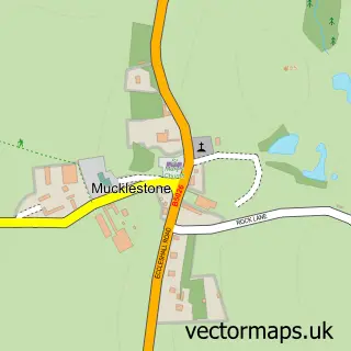
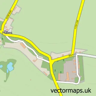
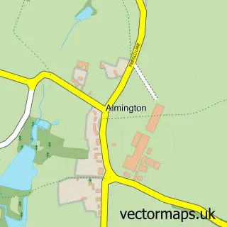
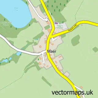
Nearby street map samples around Ashley Heath
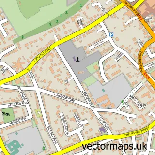

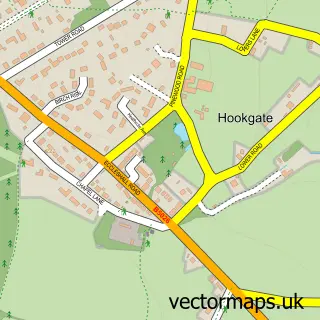
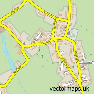
More street maps in Staffordshire
750 metre map area coverage
Boundary, postcode and point of interest information for the 750m x 750m rectangle centred on this sample map.
Boundaries containing map centre
Constituency: Stafford Co Const
County: Staffordshire County
District: Newcastle-under-Lyme District (B)
Icb: NHS Staffordshire and Stoke-on-Trent ICB
Parish: Loggerheads CP
Police Force: staffordshire
Postcode District: TF9
Postcode Sector: TF9 4
Ward: Loggerheads Ward
Nearby boundaries intersecting sample
No additional intersecting boundaries found.
Postcode coverage
POI category counts
Building Supply Store: 2
Building Contractor: 1
Business Consulting: 1
Electrician: 1
Furniture Store: 1
Metals: 1
Organization: 1
Real Estate Agent: 1
Windows Installation: 1
Sample points of interest
- Easy Fit Garage Doors
- Mr Electric Shrewsbury and Mid Wales
- Pinewood Energy Services
- Medical Device Consultancy
- Electrex Solutions
- Cavalcade Interiors
- Easy Fit Garage Doors Ltd.
- Adelan
- Chase Property
- Home Enhancing Plastics
Create a larger editable map of Ashley Heath
This sample shows only a 750 metre area. To create a larger map of Ashley Heath, use our map builder to choose your own coverage area, add titles and download editable SVG, PDF and PNG files.
Create a custom map of Ashley Heath