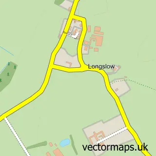
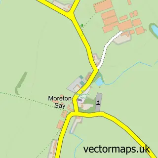
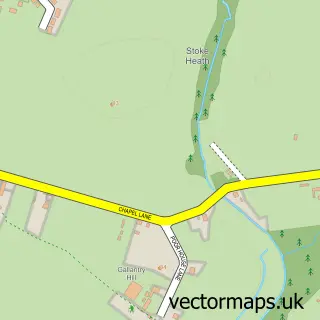
This Market Drayton street map is a detailed vector street map covering a 750m x 750m area. Select a larger area to create and download your own vector street map of Market Drayton.
The 750-metre map sample for Market Drayton covers 524 mapped buildings and approximately 16.4 km of road detail, of which 42 named roads are named. The immediate area includes 2 schools, 1 GP surgery within 2 miles, 2 pubs and 1 MOT station, with 5 within 2 miles. The wider area around Market Drayton features 1 tourism point of interest, 4 food and drink venues and 1 hotel. To create a larger or custom map of Market Drayton, the map builder lets you define your own coverage area and download editable SVG, PDF and PNG files.
Create a larger editable map of Market Drayton
Choose any area you need and generate a high-quality vector map instantly. Perfect for print, planning, design, business and personal use.

This Market Drayton street map in Shropshire is available as downloadable SVG, PDF and PNG map files, or as a printed map for planning, business, display, education, local information and design work. You can also create a larger custom map area using the map selector.
What this Market Drayton map sample shows
Market Drayton lies within Market Drayton Cp parish, part of Market Drayton East ward in the Shropshire local authority area. The postcode geography for this area includes the TF postcode area, the TF9 postcode district and the TF9 1 postcode sector. Residents fall under the Nhs Shropshire, Telford And Wrekin Integrated Care Board for NHS services.
Local features near Market Drayton
Within 2 milesAmenities and services in and around Market Drayton.
Administrative and postcode information for Market Drayton
Market Drayton lies within Market Drayton Cp parish, part of Market Drayton East ward in the Shropshire local authority area. The postcode geography for this area includes the TF postcode area, the TF9 postcode district and the TF9 1 postcode sector. Residents fall under the Nhs Shropshire, Telford And Wrekin Integrated Care Board for NHS services.
Nearby street map samples around Market Drayton

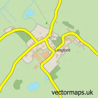
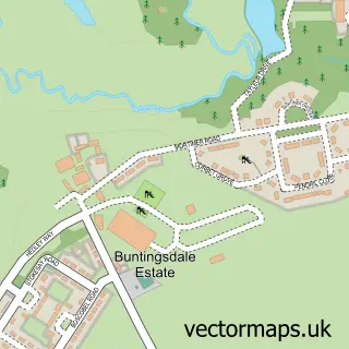
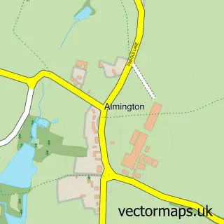
More street maps in Shropshire
750 metre map area coverage
Boundary, postcode and point of interest information for the 750m x 750m rectangle centred on this sample map.
Boundaries containing map centre
Constituency: North Shropshire Co Const
District: Shropshire
Icb: NHS Shropshire Telford and Wrekin ICB
Parish: Market Drayton CP
Police Force: west mercia
Postcode District: TF9
Postcode Sector: TF9 3
Nearby boundaries intersecting sample
Postcode Sector: TF9 1
Postcode coverage
POI category counts
Beauty And Spa: 3
Community Center: 3
Professional Services: 3
Automotive Repair: 2
Beauty Salon: 2
Church Cathedral: 2
Convenience Store: 2
Elementary School: 2
Home Improvement Store: 2
Martial Arts Club: 2
Sample points of interest
- Drayton Grove
- Chris Fennell Appliance Repairs and Installations
- Beulah House
- Ashbourne Leasing
- S & M Breaker's
- ATS Euromaster
- Fix Auto
- Brosys Computing
- 2 Have & 2 Eat Cakes
- The Coach and Horses, Market Drayton
- Highshape
- Jhoveth Lee-Overy Aesthetic Clinic and Training Academy
Create a larger editable map of Market Drayton
This sample shows only a 750 metre area. To create a larger map of Market Drayton, use our map builder to choose your own coverage area, add titles and download editable SVG, PDF and PNG files.
Create a custom map of Market Drayton