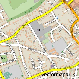
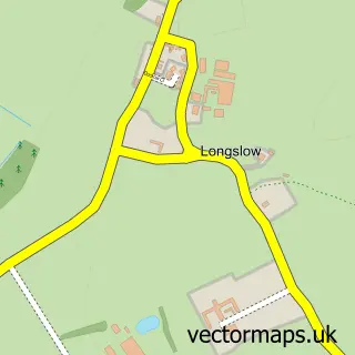
This Buntingsdale street map is a detailed vector street map covering a 750m x 750m area. Select a larger area to create and download your own vector street map of Buntingsdale.
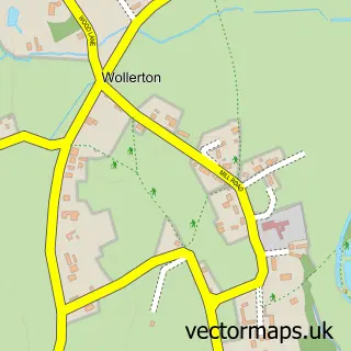
The 750-metre map sample for Buntingsdale covers 110 mapped buildings and approximately 7.5 km of road detail, of which 10 named roads are named. The immediate area includes 1 school and 1 MOT station within 2 miles. To create a larger or custom map of Buntingsdale, the map builder lets you define your own coverage area and download editable SVG, PDF and PNG files.
Create a larger editable map of Buntingsdale
Choose any area you need and generate a high-quality vector map instantly. Perfect for print, planning, design, business and personal use.

This Buntingsdale street map in Shropshire is available as downloadable SVG, PDF and PNG map files, or as a printed map for planning, business, display, education, local information and design work. You can also create a larger custom map area using the map selector.
What this Buntingsdale map sample shows
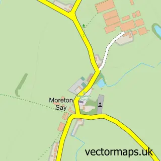
Buntingsdale lies within Moreton Say Cp parish, part of Prees ward in the Shropshire local authority area. The postcode geography for this area includes the TF postcode area, the TF9 postcode district and the TF9 3 postcode sector. Residents fall under the Nhs Shropshire, Telford And Wrekin Integrated Care Board for NHS services.
Local features near Buntingsdale
Within 2 milesAmenities and services in and around Buntingsdale.
Administrative and postcode information for Buntingsdale
Buntingsdale lies within Moreton Say Cp parish, part of Prees ward in the Shropshire local authority area. The postcode geography for this area includes the TF postcode area, the TF9 postcode district and the TF9 3 postcode sector. Residents fall under the Nhs Shropshire, Telford And Wrekin Integrated Care Board for NHS services.
Nearby street map samples around Buntingsdale

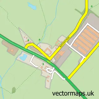
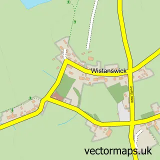
More street maps in Shropshire
750 metre map area coverage
Boundary, postcode and point of interest information for the 750m x 750m rectangle centred on this sample map.
Boundaries containing map centre
Constituency: The Wrekin Co Const
District: Shropshire
Icb: NHS Shropshire Telford and Wrekin ICB
Parish: Sutton upon Tern CP
Police Force: west mercia
Postcode District: TF9
Postcode Sector: TF9 2
Nearby boundaries intersecting sample
Constituency: North Shropshire Co Const
Parish: Moreton Say CP
Postcode Sector: TF9 3
Postcode coverage
POI category counts
Elementary School: 2
Advertising Agency: 1
Community Center: 1
Holiday Rental Home: 1
Naturopathic Holistic: 1
Sewing And Alterations: 1
Sample points of interest
- Ahp Design
- Warriors Community Centre Ternhill
- Buntingsdale Primary School
- Buntingsdale Primary School & Nursery
- Buntingsdale Hall
- Nature's Harvest
- Patterson-Sewing Room
Create a larger editable map of Buntingsdale
This sample shows only a 750 metre area. To create a larger map of Buntingsdale, use our map builder to choose your own coverage area, add titles and download editable SVG, PDF and PNG files.
Create a custom map of Buntingsdale