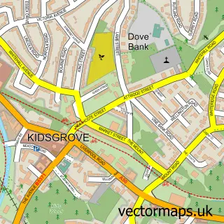
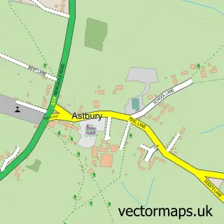
This Scholar Green street map is a detailed vector street map covering a 750m x 750m area. Select a larger area to create and download your own vector street map of Scholar Green.
The 750-metre map sample for Scholar Green covers 239 mapped buildings and approximately 9.4 km of road detail, of which 14 named roads are named. The immediate area includes 1 school, 3 GP surgeries within 2 miles, 1 pub and 4 MOT stations within 2 miles. The wider area around Scholar Green features 1 food and drink venue. To create a larger or custom map of Scholar Green, the map builder lets you define your own coverage area and download editable SVG, PDF and PNG files.
Create a larger editable map of Scholar Green
Choose any area you need and generate a high-quality vector map instantly. Perfect for print, planning, design, business and personal use.

This Scholar Green street map in Cheshire is available as downloadable SVG, PDF and PNG map files, or as a printed map for planning, business, display, education, local information and design work. You can also create a larger custom map area using the map selector.
What this Scholar Green map sample shows
Scholar Green lies within Odd Rode Cp parish, part of Odd Rode ward in the Cheshire East (B) local authority area. The postcode geography for this area includes the ST postcode area, the ST7 postcode district and the ST7 3 postcode sector. Residents fall under the Nhs Cheshire And Merseyside Integrated Care Board for NHS services.
Local features near Scholar Green
Within 2 milesAmenities and services in and around Scholar Green.
Administrative and postcode information for Scholar Green
Scholar Green lies within Odd Rode Cp parish, part of Odd Rode ward in the Cheshire East (B) local authority area. The postcode geography for this area includes the ST postcode area, the ST7 postcode district and the ST7 3 postcode sector. Residents fall under the Nhs Cheshire And Merseyside Integrated Care Board for NHS services.
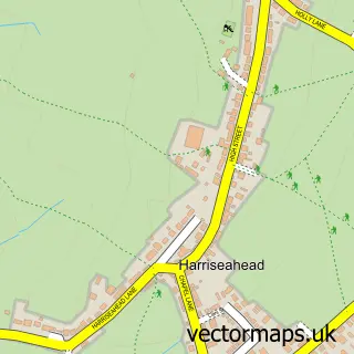
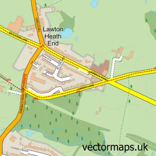
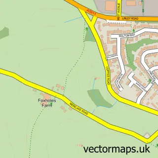
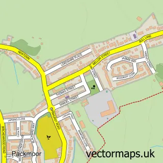
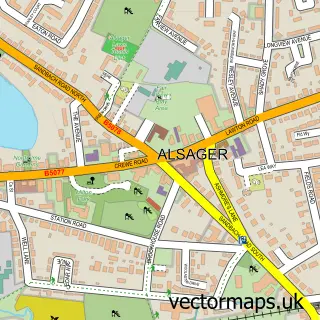
Nearby street map samples around Scholar Green

More street maps in Cheshire
750 metre map area coverage
Boundary, postcode and point of interest information for the 750m x 750m rectangle centred on this sample map.
Boundaries containing map centre
Constituency: Congleton Co Const
District: Cheshire East (B)
Icb: NHS Cheshire and Merseyside ICB
Parish: Odd Rode CP
Police Force: cheshire
Postcode District: ST7
Postcode Sector: ST7 3
Ward: Odd Rode Ward
Nearby boundaries intersecting sample
No additional intersecting boundaries found.
Postcode coverage
POI category counts
Post Office: 3
Atms: 1
Beauty Salon: 1
Community Center: 1
Convenience Store: 1
Currency Exchange: 1
Elementary School: 1
Excavation Service: 1
Grocery Store: 1
Pet Groomer: 1
Sample points of interest
- Morrisons Daily - Scholar Green, Scholar Green
- Deb on Hair
- Scholar Green Village Hall
- Morrisons Daily
- Post Office Travel Money
- Scholar Green Primary School
- C + R Drainage
- The Co-operative Food
- The Waggy Tail Wash
- Post Office
- Post Office-Scholar Green
- Scholar Green Post Office
Create a larger editable map of Scholar Green
This sample shows only a 750 metre area. To create a larger map of Scholar Green, use our map builder to choose your own coverage area, add titles and download editable SVG, PDF and PNG files.
Create a custom map of Scholar Green