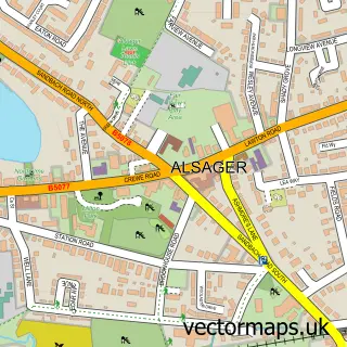
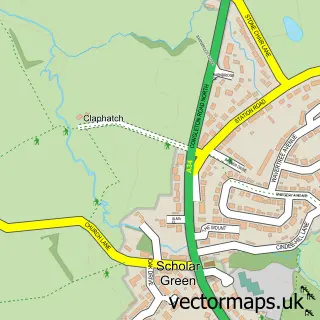
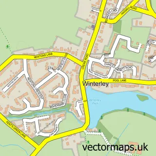
This Lawton Heath End street map is a detailed vector street map covering a 750m x 750m area. Select a larger area to create and download your own vector street map of Lawton Heath End.
The 750-metre map sample for Lawton Heath End covers 123 mapped buildings and approximately 10.1 km of road detail, of which 11 named roads are named. The immediate area includes 2 GP surgeries within 2 miles, 4 pubs and 2 MOT stations within 2 miles. The wider area around Lawton Heath End features 5 food and drink venues. To create a larger or custom map of Lawton Heath End, the map builder lets you define your own coverage area and download editable SVG, PDF and PNG files.
Create a larger editable map of Lawton Heath End
Choose any area you need and generate a high-quality vector map instantly. Perfect for print, planning, design, business and personal use.

This Lawton Heath End street map in Cheshire is available as downloadable SVG, PDF and PNG map files, or as a printed map for planning, business, display, education, local information and design work. You can also create a larger custom map area using the map selector.
What this Lawton Heath End map sample shows
Lawton Heath End lies within Alsager Cp parish, part of Alsager ward in the Cheshire East (B) local authority area. The postcode geography for this area includes the ST postcode area, the ST7 postcode district and the ST7 2 postcode sector. Residents fall under the Nhs Cheshire And Merseyside Integrated Care Board for NHS services.
Local features near Lawton Heath End
Within 2 milesAmenities and services in and around Lawton Heath End.
Administrative and postcode information for Lawton Heath End
Lawton Heath End lies within Alsager Cp parish, part of Alsager ward in the Cheshire East (B) local authority area. The postcode geography for this area includes the ST postcode area, the ST7 postcode district and the ST7 2 postcode sector. Residents fall under the Nhs Cheshire And Merseyside Integrated Care Board for NHS services.
Nearby street map samples around Lawton Heath End

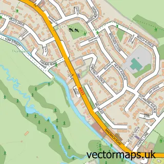
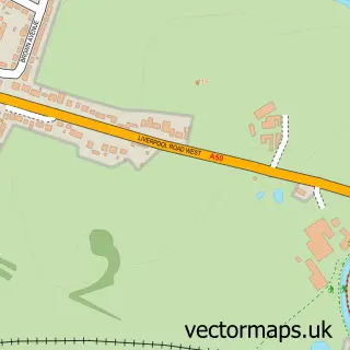
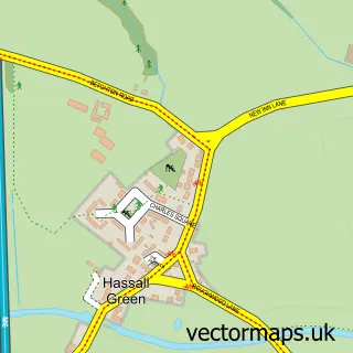
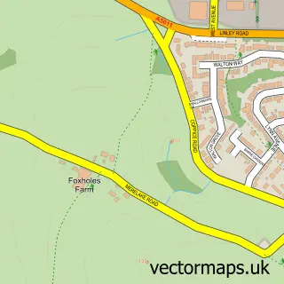
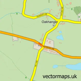
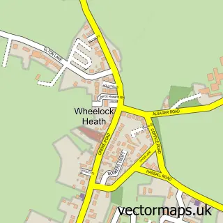
More street maps in Cheshire
750 metre map area coverage
Boundary, postcode and point of interest information for the 750m x 750m rectangle centred on this sample map.
Boundaries containing map centre
Constituency: Congleton Co Const
District: Cheshire East (B)
Icb: NHS Cheshire and Merseyside ICB
Parish: Church Lawton CP
Police Force: cheshire
Postcode District: ST7
Postcode Sector: ST7 3
Ward: Odd Rode Ward
Nearby boundaries intersecting sample
Parish: Alsager CP, Betchton CP
Postcode Sector: ST7 2
Ward: Alsager Ward, Brereton Rural Ward
Postcode coverage
POI category counts
Pub: 4
Elementary School: 1
Employment Agencies: 1
Equestrian Facility: 1
It Service And Computer Repair: 1
Professional Services: 1
Restaurant: 1
Retirement Home: 1
Sample points of interest
- Redstone Centre
- Transitionplus
- Alsager Equestrian Centre
- ICTn
- Andrew Starkey Photographer
- Horseshoe Inn
- The Horseshoe Inn
- The Wilbraham Arms
- Wilbraham Arms
- The Horseshoe Inn
- Pottersway House
Create a larger editable map of Lawton Heath End
This sample shows only a 750 metre area. To create a larger map of Lawton Heath End, use our map builder to choose your own coverage area, add titles and download editable SVG, PDF and PNG files.
Create a custom map of Lawton Heath End