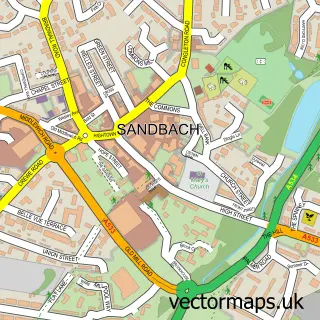
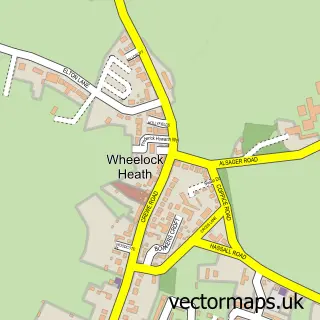
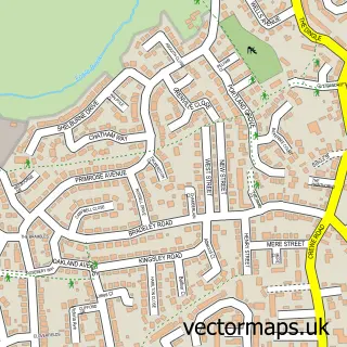
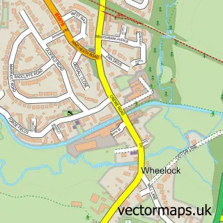
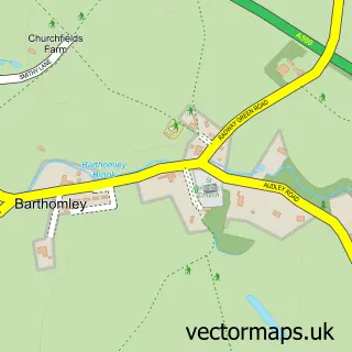
This Winterley street map is a detailed vector street map covering a 750m x 750m area. Select a larger area to create and download your own vector street map of Winterley.
The 750-metre map sample for Winterley covers 353 mapped buildings and approximately 11.9 km of road detail, of which 19 named roads are named. The immediate area includes 1 GP surgery within 2 miles and 5 MOT stations within 2 miles. The wider area around Winterley features 1 tourism point of interest. To create a larger or custom map of Winterley, the map builder lets you define your own coverage area and download editable SVG, PDF and PNG files.
Create a larger editable map of Winterley
Choose any area you need and generate a high-quality vector map instantly. Perfect for print, planning, design, business and personal use.

This Winterley street map in Cheshire is available as downloadable SVG, PDF and PNG map files, or as a printed map for planning, business, display, education, local information and design work. You can also create a larger custom map area using the map selector.
What this Winterley map sample shows
Winterley lies within Haslington Cp parish, part of Haslington ward in the Cheshire East (B) local authority area. The postcode geography for this area includes the CW postcode area, the CW11 postcode district and the CW11 4 postcode sector. Residents fall under the Nhs Cheshire And Merseyside Integrated Care Board for NHS services.
Local features near Winterley
Within 2 milesAmenities and services in and around Winterley.
Administrative and postcode information for Winterley
The local authority covering Winterley is Cheshire East (B), within the county of Cheshire. The settlement lies within Haslington ward and Haslington Cp civil parish. The CW11 postcode district and CW11 4 postcode sector serve the immediate area. NHS provision in the area is delivered through Mid Cheshire Hospitals Nhs Foundation Trust.
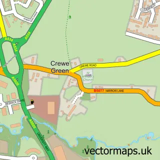
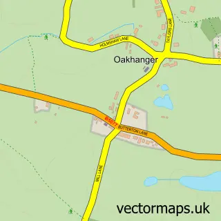
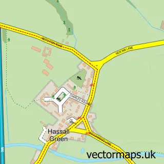
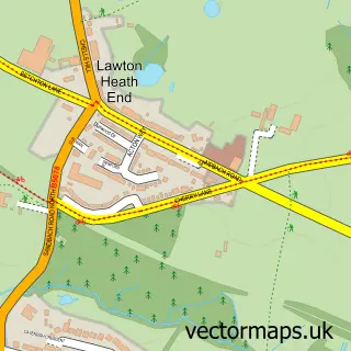
Nearby street map samples around Winterley

More street maps in Cheshire
750 metre map area coverage
Boundary, postcode and point of interest information for the 750m x 750m rectangle centred on this sample map.
Boundaries containing map centre
Constituency: Crewe and Nantwich Co Const
District: Cheshire East (B)
Icb: NHS Cheshire and Merseyside ICB
Parish: Haslington CP
Police Force: cheshire
Postcode District: CW11
Postcode Sector: CW11 4
Ward: Haslington Ward
Nearby boundaries intersecting sample
Postcode District: CW1
Postcode Sector: CW1 5
Postcode coverage
POI category counts
Professional Services: 2
Arts And Entertainment: 1
Automotive Dealer: 1
Automotive Services And Repair: 1
Beauty Product Supplier: 1
Building Contractor: 1
Car Dealer: 1
Chinese Restaurant: 1
Church Cathedral: 1
Driving School: 1
Sample points of interest
- Joanna Perry Murals
- TC Sales
- Geotic
- Beauty Business
- Foden's Band
- Bullock David Motor Co
- Swan Lake Chinese Restaurant | Sandbach
- Winterley Methodist Church and Community Hall
- PWP Driving Tuition
- Womens Financials
- Winterley Pool Fishery
- Eilidh Milnes
Create a larger editable map of Winterley
This sample shows only a 750 metre area. To create a larger map of Winterley, use our map builder to choose your own coverage area, add titles and download editable SVG, PDF and PNG files.
Create a custom map of Winterley