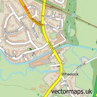
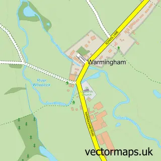
This Wheelock Heath street map is a detailed vector street map covering a 750m x 750m area. Select a larger area to create and download your own vector street map of Wheelock Heath.
The 750-metre map sample for Wheelock Heath covers 177 mapped buildings and approximately 7.9 km of road detail, of which 11 named roads are named. The immediate area includes 1 GP surgery within 2 miles, 2 pubs and 5 MOT stations within 2 miles. The wider area around Wheelock Heath features 2 food and drink venues. To create a larger or custom map of Wheelock Heath, the map builder lets you define your own coverage area and download editable SVG, PDF and PNG files.
Create a larger editable map of Wheelock Heath
Choose any area you need and generate a high-quality vector map instantly. Perfect for print, planning, design, business and personal use.

This Wheelock Heath street map in Cheshire is available as downloadable SVG, PDF and PNG map files, or as a printed map for planning, business, display, education, local information and design work. You can also create a larger custom map area using the map selector.
What this Wheelock Heath map sample shows
Wheelock Heath lies within Haslington Cp parish, part of Sandbach Ettiley Heath And Wheelock ward in the Cheshire East (B) local authority area. The postcode geography for this area includes the CW postcode area, the CW11 postcode district and the CW11 4 postcode sector. Residents fall under the Nhs Cheshire And Merseyside Integrated Care Board for NHS services.
Local features near Wheelock Heath
Within 2 milesAmenities and services in and around Wheelock Heath.
Administrative and postcode information for Wheelock Heath
Wheelock Heath lies within Haslington Cp parish, part of Sandbach Ettiley Heath And Wheelock ward in the Cheshire East (B) local authority area. The postcode geography for this area includes the CW postcode area, the CW11 postcode district and the CW11 4 postcode sector. Residents fall under the Nhs Cheshire And Merseyside Integrated Care Board for NHS services.
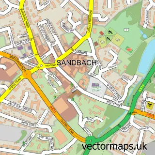
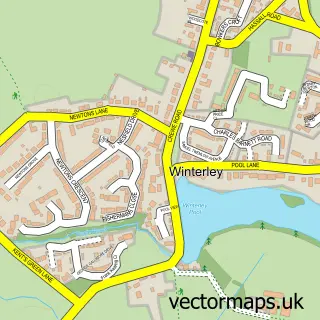
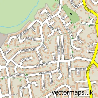
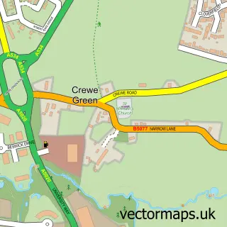
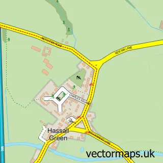
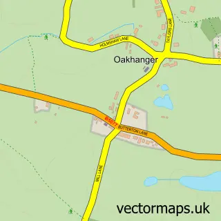
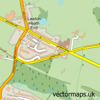
Nearby street map samples around Wheelock Heath

More street maps in Cheshire
750 metre map area coverage
Boundary, postcode and point of interest information for the 750m x 750m rectangle centred on this sample map.
Boundaries containing map centre
Constituency: Crewe and Nantwich Co Const
District: Cheshire East (B)
Icb: NHS Cheshire and Merseyside ICB
Parish: Haslington CP
Police Force: cheshire
Postcode District: CW11
Postcode Sector: CW11 4
Ward: Haslington Ward
Nearby boundaries intersecting sample
Constituency: Congleton Co Const
Postcode Sector: CW11 3
Ward: Sandbach Ettiley Heath and Wheelock Ward
Postcode coverage
POI category counts
Pub: 2
Arts And Entertainment: 1
Audio Visual Production And Design: 1
Auto Detailing: 1
Automotive Dealer: 1
Baptist Church: 1
Barber: 1
Beauty Salon: 1
Bus Station: 1
Church Cathedral: 1
Sample points of interest
- Joanna Perry Murals
- Hipswing Event AV Hire
- CLEANfreak Valeting/detailing
- TC Sales
- Wheelock Heath Baptist Church
- Jens Barbers
- Flawless Skin By Rachael
- Western Park
- Winterley Methodist Church and Community Hall
- S R Williamson & Sons
- Dee Chadwick
- A1 Garden Cattery
Create a larger editable map of Wheelock Heath
This sample shows only a 750 metre area. To create a larger map of Wheelock Heath, use our map builder to choose your own coverage area, add titles and download editable SVG, PDF and PNG files.
Create a custom map of Wheelock Heath