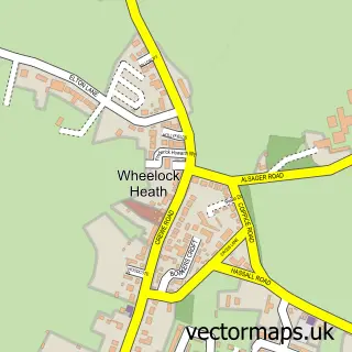
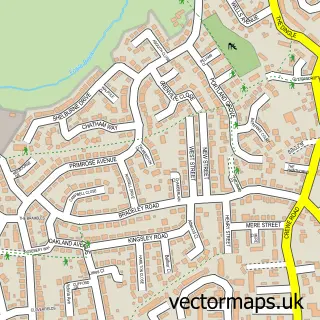
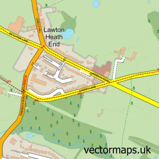
This Wheelock street map is a detailed vector street map covering a 750m x 750m area. Select a larger area to create and download your own vector street map of Wheelock.
The 750-metre map sample for Wheelock covers 341 mapped buildings and approximately 12.2 km of road detail, of which 22 named roads are named. The immediate area includes 1 GP surgery within 2 miles, 2 pubs and 2 MOT stations, with 9 within 2 miles. The wider area around Wheelock features 2 tourism points of interest and 2 food and drink venues. To create a larger or custom map of Wheelock, the map builder lets you define your own coverage area and download editable SVG, PDF and PNG files.
Create a larger editable map of Wheelock
Choose any area you need and generate a high-quality vector map instantly. Perfect for print, planning, design, business and personal use.

This Wheelock street map in Cheshire is available as downloadable SVG, PDF and PNG map files, or as a printed map for planning, business, display, education, local information and design work. You can also create a larger custom map area using the map selector.
What this Wheelock map sample shows
Wheelock lies within Sandbach Cp parish, part of Sandbach Ettiley Heath And Wheelock ward in the Cheshire East (B) local authority area. The postcode geography for this area includes the CW postcode area, the CW11 postcode district and the CW11 4 postcode sector. Residents fall under the Nhs Cheshire And Merseyside Integrated Care Board for NHS services.
Local features near Wheelock
Within 2 milesAmenities and services in and around Wheelock.
Administrative and postcode information for Wheelock
Wheelock lies within Sandbach Cp parish, part of Sandbach Ettiley Heath And Wheelock ward in the Cheshire East (B) local authority area. The postcode geography for this area includes the CW postcode area, the CW11 postcode district and the CW11 4 postcode sector. Residents fall under the Nhs Cheshire And Merseyside Integrated Care Board for NHS services.
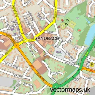
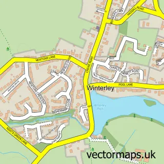
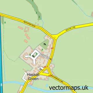
Nearby street map samples around Wheelock

More street maps in Cheshire
750 metre map area coverage
Boundary, postcode and point of interest information for the 750m x 750m rectangle centred on this sample map.
Boundaries containing map centre
Constituency: Congleton Co Const
District: Cheshire East (B)
Icb: NHS Cheshire and Merseyside ICB
Parish: Sandbach CP
Police Force: cheshire
Postcode District: CW11
Postcode Sector: CW11 3
Ward: Sandbach Ettiley Heath and Wheelock Ward
Nearby boundaries intersecting sample
Postcode Sector: CW11 4
Postcode coverage
POI category counts
Church Cathedral: 3
Professional Services: 3
Bicycle Shop: 2
Contractor: 2
Cupcake Shop: 2
Italian Restaurant: 2
Pet Groomer: 2
Pub: 2
Rental Services: 2
Accommodation: 1
Sample points of interest
- Elworth Grange Care Home
- HJ Lea Oakes
- Hidden Treasurez
- Sandbach Choral Society
- AutoGlow Detailing and Paint Correction Specialists
- Central Tyre
- Cakes Individually Iced
- Bliss PMU by Jilly
- Bicycle Remedies
- The Cycle Junction
- Thorougoods
- Caroline's Occasions Bridal
Create a larger editable map of Wheelock
This sample shows only a 750 metre area. To create a larger map of Wheelock, use our map builder to choose your own coverage area, add titles and download editable SVG, PDF and PNG files.
Create a custom map of Wheelock