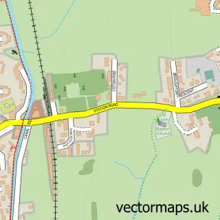
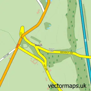
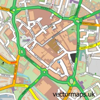
This Fenton street map is a detailed vector street map covering a 750m x 750m area. Select a larger area to create and download your own vector street map of Fenton.
The 750-metre map sample for Fenton covers 289 mapped buildings and approximately 22.5 km of road detail, of which 57 named roads are named. The immediate area includes 2 schools, 1 GP surgery, with 15 within 2 miles, 5 pubs and 44 MOT stations within 2 miles. The wider area around Fenton features 2 tourism points of interest and 18 food and drink venues. To create a larger or custom map of Fenton, the map builder lets you define your own coverage area and download editable SVG, PDF and PNG files.
Create a larger editable map of Fenton
Choose any area you need and generate a high-quality vector map instantly. Perfect for print, planning, design, business and personal use.

This Fenton street map in Staffordshire is available as downloadable SVG, PDF and PNG map files, or as a printed map for planning, business, display, education, local information and design work. You can also create a larger custom map area using the map selector.
What this Fenton map sample shows
Fenton lies within City Of Stoke-On-Trent (B) parish, part of Fenton East ward in the City Of Stoke-On-Trent (B) local authority area. The postcode geography for this area includes the ST postcode area, the ST4 postcode district and the ST4 3 postcode sector. Residents fall under the Nhs Staffordshire And Stoke-On-Trent Integrated Care Board for NHS services.
Local features near Fenton
Within 2 milesAmenities and services in and around Fenton.
Administrative and postcode information for Fenton
The local authority covering Fenton is City Of Stoke-On-Trent (B), within the county of Staffordshire. The settlement lies within Fenton East ward and City Of Stoke-On-Trent (B) civil parish. The ST4 postcode district and ST4 3 postcode sector serve the immediate area. NHS provision in the area is delivered through University Hospitals Of North Midlands Nhs Trust.
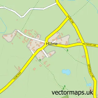
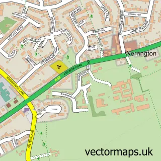
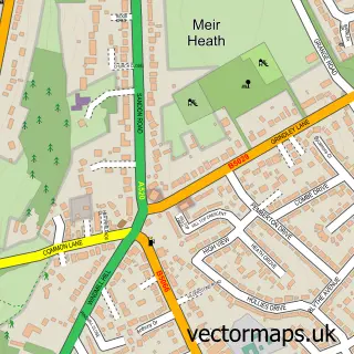
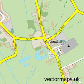
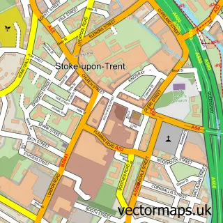
Nearby street map samples around Fenton

More street maps in Staffordshire
750 metre map area coverage
Boundary, postcode and point of interest information for the 750m x 750m rectangle centred on this sample map.
Boundaries containing map centre
Constituency: Stoke-on-Trent Central Boro Const
District: City of Stoke-on-Trent (B)
Icb: NHS Staffordshire and Stoke-on-Trent ICB
Police Force: staffordshire
Postcode District: ST4
Postcode Sector: ST4 3
Ward: Fenton West & Mount Pleasant Ward
Nearby boundaries intersecting sample
Postcode Sector: ST4 2, ST4 4
Ward: Fenton East Ward, Hanley Park, Joiner's Square & Shelton Ward
Postcode coverage
POI category counts
Automotive Repair: 10
Furniture Store: 10
Hair Salon: 8
Cafe: 7
Retail: 6
Building Supply Store: 5
Car Rental Agency: 5
Fast Food Restaurant: 5
Pub: 5
Atms: 4
Sample points of interest
- JMT Accountancy Limited Bookkeeping and Payroll Services
- Panacea Holistic Healing/Therapies
- Community Scrap Shack
- Brightstone Clinic
- Christ Church Fenton
- Penparc Pet Centre
- Philosophy Eggs
- The Art Bay
- Genesis Rowley Blacksmith
- The Laser Shop ltd
- The Royal Oak
- *Deposit & Withdrawal*Asda Fenton (LBG), Fenton
Create a larger editable map of Fenton
This sample shows only a 750 metre area. To create a larger map of Fenton, use our map builder to choose your own coverage area, add titles and download editable SVG, PDF and PNG files.
Create a custom map of Fenton