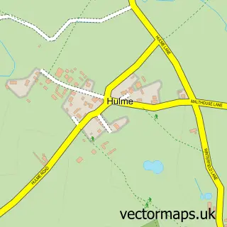
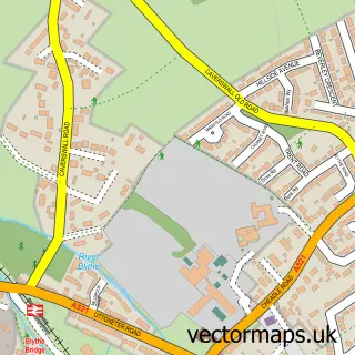
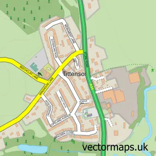
This Longton street map is a detailed vector street map covering a 750m x 750m area. Select a larger area to create and download your own vector street map of Longton.
The 750-metre map sample for Longton covers 250 mapped buildings and approximately 27.4 km of road detail, of which 65 named roads are named. The immediate area includes 1 railway station, 2 GP surgeries, with 11 within 2 miles, 12 pubs and 4 MOT stations, with 31 within 2 miles. The wider area around Longton features 2 tourism points of interest, 27 food and drink venues and 1 hotel. To create a larger or custom map of Longton, the map builder lets you define your own coverage area and download editable SVG, PDF and PNG files.
Create a larger editable map of Longton
Choose any area you need and generate a high-quality vector map instantly. Perfect for print, planning, design, business and personal use.

This Longton street map in Staffordshire is available as downloadable SVG, PDF and PNG map files, or as a printed map for planning, business, display, education, local information and design work. You can also create a larger custom map area using the map selector.
What this Longton map sample shows
Longton lies within City Of Stoke-On-Trent (B) parish, part of Broadway And Longton East ward in the City Of Stoke-On-Trent (B) local authority area. The postcode geography for this area includes the ST postcode area, the ST3 postcode district and the ST3 2 postcode sector. Residents fall under the Nhs Staffordshire And Stoke-On-Trent Integrated Care Board for NHS services.
Local features near Longton
Within 2 milesAmenities and services in and around Longton.
Administrative and postcode information for Longton
Longton lies within City Of Stoke-On-Trent (B) parish, part of Broadway And Longton East ward in the City Of Stoke-On-Trent (B) local authority area. The postcode geography for this area includes the ST postcode area, the ST3 postcode district and the ST3 2 postcode sector. Residents fall under the Nhs Staffordshire And Stoke-On-Trent Integrated Care Board for NHS services.
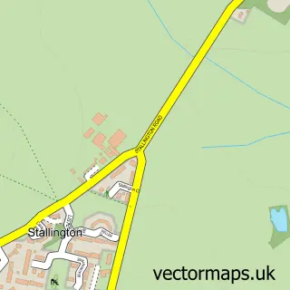
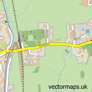
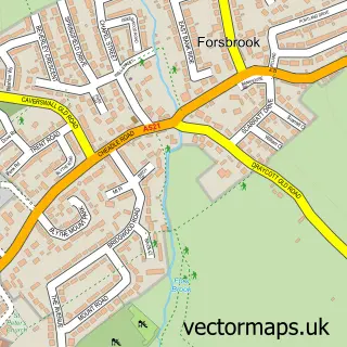
Nearby street map samples around Longton

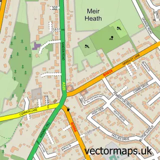
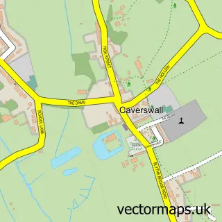
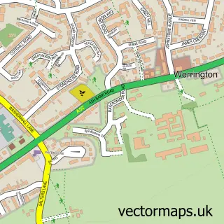
More street maps in Staffordshire
750 metre map area coverage
Boundary, postcode and point of interest information for the 750m x 750m rectangle centred on this sample map.
Boundaries containing map centre
Constituency: Stoke-on-Trent South Co Const
District: City of Stoke-on-Trent (B)
Icb: NHS Staffordshire and Stoke-on-Trent ICB
Police Force: staffordshire
Postcode District: ST3
Postcode Sector: ST3 2
Ward: Longton & Meir Hay South Ward
Nearby boundaries intersecting sample
Constituency: Stoke-on-Trent Central Boro Const
Postcode District: ST4
Postcode Sector: ST3 1, ST4 3
Ward: Fenton East Ward, Sandford Hill Ward
Postcode coverage
POI category counts
Beauty Salon: 16
Automotive Repair: 14
Pub: 12
Flowers And Gifts Shop: 9
Furniture Store: 9
Barber: 8
Fast Food Restaurant: 8
Hair Salon: 8
Bank Credit Union: 7
Gym: 7
Sample points of interest
- 3E's Accountants
- Davies Sigley
- M & M Signs & Graphics
- Ioni Labs
- Longton S.John Oratory Chapel
- Age UK
- Age UK
- Douglas Macmillan Hospice Shop
- Home Farm Trust
- Aga UK
- Hylands
- Longton Domestics
Create a larger editable map of Longton
This sample shows only a 750 metre area. To create a larger map of Longton, use our map builder to choose your own coverage area, add titles and download editable SVG, PDF and PNG files.
Create a custom map of Longton