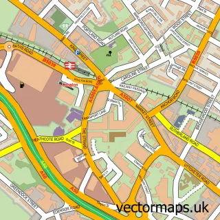
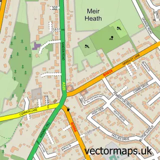
This Hulme street map is a detailed vector street map covering a 750m x 750m area. Select a larger area to create and download your own vector street map of Hulme.
The 750-metre map sample for Hulme covers 79 mapped buildings and approximately 9.4 km of road detail, of which 4 named roads are named. The immediate area includes 4 GP surgeries within 2 miles, 1 pub and 14 MOT stations within 2 miles. The wider area around Hulme features 1 food and drink venue. To create a larger or custom map of Hulme, the map builder lets you define your own coverage area and download editable SVG, PDF and PNG files.
Create a larger editable map of Hulme
Choose any area you need and generate a high-quality vector map instantly. Perfect for print, planning, design, business and personal use.

This Hulme street map in Staffordshire is available as downloadable SVG, PDF and PNG map files, or as a printed map for planning, business, display, education, local information and design work. You can also create a larger custom map area using the map selector.
What this Hulme map sample shows
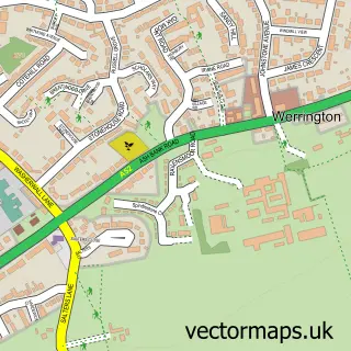
Hulme lies within Caverswall Cp parish, part of Caverswall ward in the Staffordshire Moorlands District local authority area. The postcode geography for this area includes the ST postcode area, the ST11 postcode district and the ST11 9 postcode sector. Residents fall under the Nhs Staffordshire And Stoke-On-Trent Integrated Care Board for NHS services.
Local features near Hulme
Within 2 milesAmenities and services in and around Hulme.
Administrative and postcode information for Hulme
Hulme lies within Caverswall Cp parish, part of Caverswall ward in the Staffordshire Moorlands District local authority area. The postcode geography for this area includes the ST postcode area, the ST11 postcode district and the ST11 9 postcode sector. Residents fall under the Nhs Staffordshire And Stoke-On-Trent Integrated Care Board for NHS services.
Nearby street map samples around Hulme

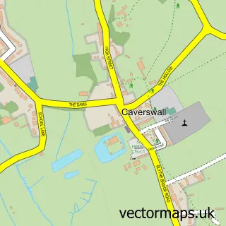
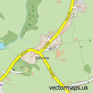
More street maps in Staffordshire
750 metre map area coverage
Boundary, postcode and point of interest information for the 750m x 750m rectangle centred on this sample map.
Boundaries containing map centre
Constituency: Staffordshire Moorlands Co Const
County: Staffordshire County
District: Staffordshire Moorlands District
Icb: NHS Staffordshire and Stoke-on-Trent ICB
Parish: Werrington CP
Police Force: staffordshire
Postcode District: ST3
Postcode Sector: ST3 5
Ward: Caverswall Ward
Nearby boundaries intersecting sample
Constituency: Stoke-on-Trent Central Boro Const
District: City of Stoke-on-Trent (B)
Postcode District: ST2
Postcode Sector: ST2 0
Ward: Bentilee, Ubberley & Townsend Ward
Postcode coverage
POI category counts
Building Supply Store: 1
Pet Store: 1
Pub: 1
Sample points of interest
- Duncan Barber
- Caroline's Pets
- The Candlesticks
Create a larger editable map of Hulme
This sample shows only a 750 metre area. To create a larger map of Hulme, use our map builder to choose your own coverage area, add titles and download editable SVG, PDF and PNG files.
Create a custom map of Hulme