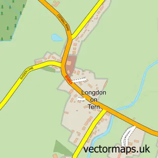
This Waters Upton street map is a detailed vector street map covering a 750m x 750m area. Select a larger area to create and download your own vector street map of Waters Upton.
The 750-metre map sample for Waters Upton covers 130 mapped buildings and approximately 7.2 km of road detail, of which 9 named roads are named. To create a larger or custom map of Waters Upton, the map builder lets you define your own coverage area and download editable SVG, PDF and PNG files.
Create a larger editable map of Waters Upton
Choose any area you need and generate a high-quality vector map instantly. Perfect for print, planning, design, business and personal use.

This Waters Upton street map in Shropshire is available as downloadable SVG, PDF and PNG map files, or as a printed map for planning, business, display, education, local information and design work. You can also create a larger custom map area using the map selector.
What this Waters Upton map sample shows
Waters Upton lies within Waters Upton Cp parish, part of Edgmond & Ercall Magna ward in the Telford And Wrekin (B) local authority area. The postcode geography for this area includes the TF postcode area, the TF6 postcode district and the TF6 6 postcode sector. Residents fall under the Nhs Shropshire, Telford And Wrekin Integrated Care Board for NHS services.
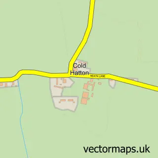
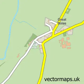
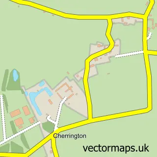
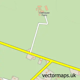
Local features near Waters Upton
Within 2 milesAmenities and services in and around Waters Upton.
Administrative and postcode information for Waters Upton
Waters Upton lies within Waters Upton Cp parish, part of Edgmond & Ercall Magna ward in the Telford And Wrekin (B) local authority area. The postcode geography for this area includes the TF postcode area, the TF6 postcode district and the TF6 6 postcode sector. Residents fall under the Nhs Shropshire, Telford And Wrekin Integrated Care Board for NHS services.
Nearby street map samples around Waters Upton

More street maps in Shropshire
750 metre map area coverage
Boundary, postcode and point of interest information for the 750m x 750m rectangle centred on this sample map.
Boundaries containing map centre
Constituency: The Wrekin Co Const
District: Telford and Wrekin (B)
Icb: NHS Shropshire Telford and Wrekin ICB
Parish: Waters Upton CP
Police Force: west mercia
Postcode District: TF6
Postcode Sector: TF6 6
Ward: Ercall Magna Ward
Nearby boundaries intersecting sample
Parish: Ercall Magna CP
Postcode coverage
POI category counts
Indian Restaurant: 3
Butcher Shop: 2
Holding Companies: 2
Active Life: 1
Anglican Church: 1
Automotive Repair: 1
Bridal Shop: 1
Convenience Store: 1
Courier And Delivery Services: 1
Package Locker: 1
Sample points of interest
- Crescent Farm Livery Ltd
- St Michael's, Waters Upton
- M J Autocare
- Guest Books by Emlou
- Morgan's Country Butchers & Smokery
- Morgans Butchers
- Waters Upton Community Stores
- Evri ParcelShop
- M A Bufton
- M.A.Bufton & Sons Ltd.
- Bharat Indian Restaurant
- The Lion Inn Bar & Indian Restaurant
Create a larger editable map of Waters Upton
This sample shows only a 750 metre area. To create a larger map of Waters Upton, use our map builder to choose your own coverage area, add titles and download editable SVG, PDF and PNG files.
Create a custom map of Waters Upton