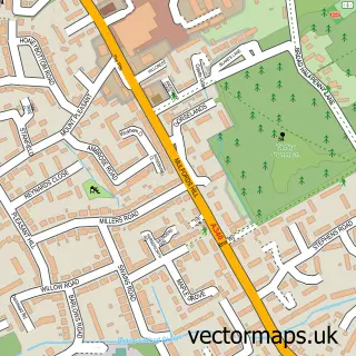
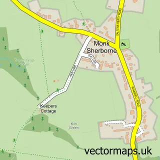
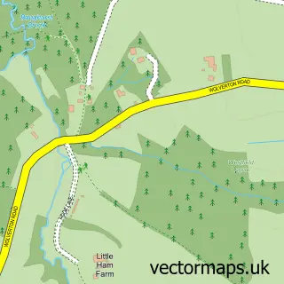
This West Heath street map is a detailed vector street map covering a 750m x 750m area. Select a larger area to create and download your own vector street map of West Heath.
The 750-metre map sample for West Heath covers 107 mapped buildings and approximately 7.2 km of road detail, of which 4 named roads are named. The immediate area includes 4 MOT stations within 2 miles. To create a larger or custom map of West Heath, the map builder lets you define your own coverage area and download editable SVG, PDF and PNG files.
Create a larger editable map of West Heath
Choose any area you need and generate a high-quality vector map instantly. Perfect for print, planning, design, business and personal use.

This West Heath street map in Hampshire is available as downloadable SVG, PDF and PNG map files, or as a printed map for planning, business, display, education, local information and design work. You can also create a larger custom map area using the map selector.
What this West Heath map sample shows
West Heath lies within Wootton St. Lawrence With Ramsdell Cp parish, part of Sherborne St John ward in the Basingstoke And Deane District (B) local authority area. The postcode geography for this area includes the RG postcode area, the RG26 postcode district and the RG26 5 postcode sector. Residents fall under the Nhs Hampshire And Isle Of Wight Integrated Care Board for NHS services.
Local features near West Heath
Within 2 milesAmenities and services in and around West Heath.
Administrative and postcode information for West Heath
The local authority covering West Heath is Basingstoke And Deane District (B), within the county of Hampshire. The settlement lies within Sherborne St John ward and Wootton St. Lawrence With Ramsdell Cp civil parish. The RG26 postcode district and RG26 5 postcode sector serve the immediate area. NHS provision in the area is delivered through Hampshire Hospitals Nhs Foundation Trust.
Nearby street map samples around West Heath

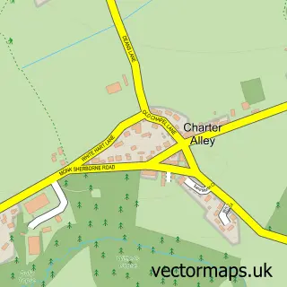
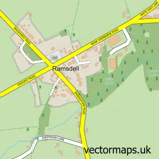
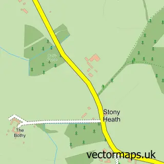
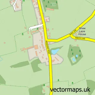
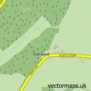
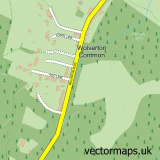
More street maps in Hampshire
750 metre map area coverage
Boundary, postcode and point of interest information for the 750m x 750m rectangle centred on this sample map.
Boundaries containing map centre
Constituency: North West Hampshire Co Const
County: Hampshire County
District: Basingstoke and Deane District (B)
Icb: NHS Hampshire and Isle of Wight ICB
Parish: Wootton St. Lawrence with Ramsdell CP
Police Force: hampshire
Postcode District: RG26
Postcode Sector: RG26 5
Ward: Sherborne St. John & Rooksdown Ward
Nearby boundaries intersecting sample
Parish: Baughurst CP, Monk Sherborne CP, Pamber CP, Tadley CP
Ward: Tadley & Pamber Ward, Tadley North, Kingsclere & Baughurst Ward
Postcode coverage
POI category counts
Metal Fabricator: 2
Art Restoration Service: 1
Business Consulting: 1
Flooring Contractors: 1
Sample points of interest
- Timothy Naylor Conservation
- Trumpet 911
- J Timney & Sons
- G & D Steel & Fabrication
- G&D Steel And Fabrications Ltd.
Create a larger editable map of West Heath
This sample shows only a 750 metre area. To create a larger map of West Heath, use our map builder to choose your own coverage area, add titles and download editable SVG, PDF and PNG files.
Create a custom map of West Heath