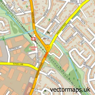
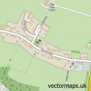
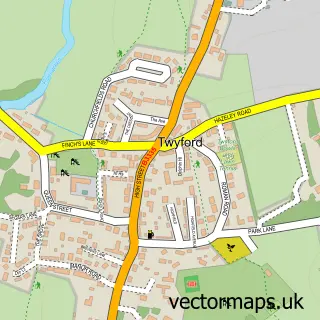
This Winchester street map is a detailed vector street map covering a 750m x 750m area. Select a larger area to create and download your own vector street map of Winchester.
The 750-metre map sample for Winchester covers 281 mapped buildings and approximately 19.9 km of road detail, of which 58 named roads are named. The immediate area includes 2 schools, 1 GP surgery, with 3 within 2 miles, 20 pubs and 12 MOT stations within 2 miles. The wider area around Winchester features 22 tourism points of interest, 59 food and drink venues and 10 hotels. To create a larger or custom map of Winchester, the map builder lets you define your own coverage area and download editable SVG, PDF and PNG files.
Create a larger editable map of Winchester
Choose any area you need and generate a high-quality vector map instantly. Perfect for print, planning, design, business and personal use.

This Winchester street map in Hampshire is available as downloadable SVG, PDF and PNG map files, or as a printed map for planning, business, display, education, local information and design work. You can also create a larger custom map area using the map selector.
What this Winchester map sample shows
Winchester lies within Chilcomb Cp parish, part of Upper Meon Valley ward in the Winchester District (B) local authority area. The postcode geography for this area includes the SO postcode area, the SO21 postcode district and the SO21 1 postcode sector. Residents fall under the Nhs Hampshire And Isle Of Wight Integrated Care Board for NHS services.
Local features near Winchester
Within 2 milesAmenities and services in and around Winchester.
Administrative and postcode information for Winchester
Winchester lies within Chilcomb Cp parish, part of Upper Meon Valley ward in the Winchester District (B) local authority area. The postcode geography for this area includes the SO postcode area, the SO21 postcode district and the SO21 1 postcode sector. Residents fall under the Nhs Hampshire And Isle Of Wight Integrated Care Board for NHS services.
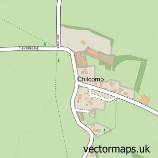
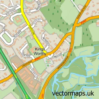
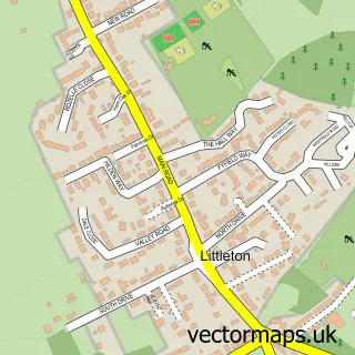
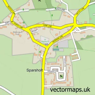
Nearby street map samples around Winchester
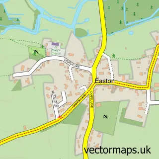
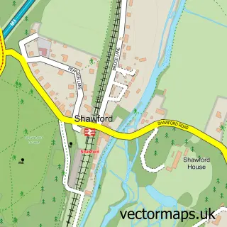
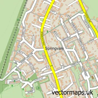
More street maps in Hampshire
750 metre map area coverage
Boundary, postcode and point of interest information for the 750m x 750m rectangle centred on this sample map.
Boundaries containing map centre
Constituency: Winchester Co Const
County: Hampshire County
District: Winchester District (B)
Icb: NHS Hampshire and Isle of Wight ICB
Police Force: hampshire
Postcode District: SO23
Postcode Sector: SO23 9
Ward: St. Michael Ward
Nearby boundaries intersecting sample
Postcode Sector: SO23 0, SO23 8
Ward: St. Bartholomew Ward
Postcode coverage
POI category counts
Clothing Store: 35
Real Estate Agent: 33
Professional Services: 24
Pub: 20
Jewelry Store: 17
Hair Salon: 16
Charity Organization: 15
Restaurant: 15
Advertising Agency: 14
Shoe Store: 13
Sample points of interest
- AIMS Accountants for Business
- Certax Accounting
- Martin & Company
- Troy Accounting Ltd
- UHY Hacker Young (Winchester)
- Wilds Sports
- 360 Integrated Marketing Solutions
- 418
- John Hurley
- Jon Athill // Web Design, SEO & Digital
- Kdesigngroup Winchester
- Kee
Create a larger editable map of Winchester
This sample shows only a 750 metre area. To create a larger map of Winchester, use our map builder to choose your own coverage area, add titles and download editable SVG, PDF and PNG files.
Create a custom map of Winchester