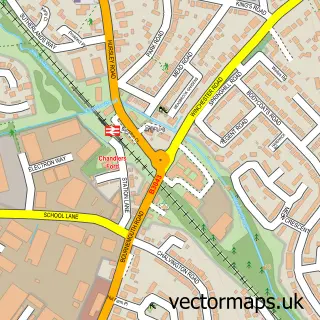
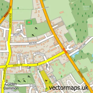
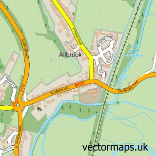
This Compton street map is a detailed vector street map covering a 750m x 750m area. Select a larger area to create and download your own vector street map of Compton.
The 750-metre map sample for Compton covers 115 mapped buildings and approximately 6.3 km of road detail, of which 6 named roads are named. The immediate area includes 1 school, 1 GP surgery within 2 miles and 3 MOT stations within 2 miles. To create a larger or custom map of Compton, the map builder lets you define your own coverage area and download editable SVG, PDF and PNG files.
Create a larger editable map of Compton
Choose any area you need and generate a high-quality vector map instantly. Perfect for print, planning, design, business and personal use.

This Compton street map in Hampshire is available as downloadable SVG, PDF and PNG map files, or as a printed map for planning, business, display, education, local information and design work. You can also create a larger custom map area using the map selector.
What this Compton map sample shows
Compton lies within Compton And Shawford Cp parish, part of Badger Farm And Oliver's Battery ward in the Winchester District (B) local authority area. The postcode geography for this area includes the SO postcode area, the SO21 postcode district and the SO21 2 postcode sector. Residents fall under the Nhs Hampshire And Isle Of Wight Integrated Care Board for NHS services.
Local features near Compton
Within 2 milesAmenities and services in and around Compton.
Administrative and postcode information for Compton
The local authority covering Compton is Winchester District (B), within the county of Hampshire. The settlement lies within Badger Farm And Oliver's Battery ward and Compton And Shawford Cp civil parish. The SO21 postcode district and SO21 2 postcode sector serve the immediate area. NHS provision in the area is delivered through Hampshire Hospitals Nhs Foundation Trust.
Nearby street map samples around Compton

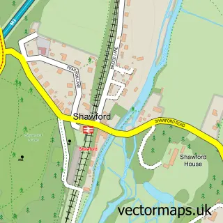
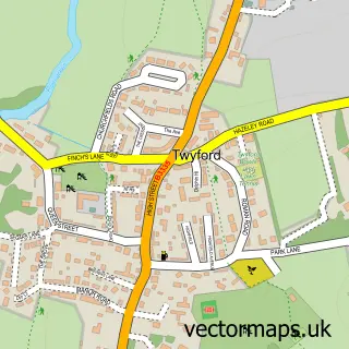
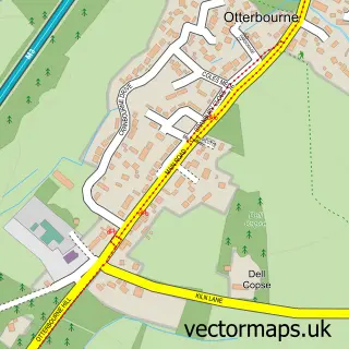
More street maps in Hampshire
750 metre map area coverage
Boundary, postcode and point of interest information for the 750m x 750m rectangle centred on this sample map.
Boundaries containing map centre
Constituency: Winchester Co Const
County: Hampshire County
District: Winchester District (B)
Icb: NHS Hampshire and Isle of Wight ICB
Parish: Compton and Shawford CP
Police Force: hampshire
Postcode District: SO21
Postcode Sector: SO21 2
Ward: Badger Farm & Oliver's Battery Ward
Nearby boundaries intersecting sample
No additional intersecting boundaries found.
Postcode coverage
POI category counts
Preschool: 2
Anglican Church: 1
Bed And Breakfast: 1
Elementary School: 1
It Service And Computer Repair: 1
Pet Groomer: 1
Professional Services: 1
Scout Hall: 1
Tree Services: 1
Sample points of interest
- All Saints
- The Old House Hamble
- Compton All Saints Church of England Primary School
- Walmsley & Associates
- Paws Parlour
- Compton & Shawford Pre-School
- Compton & Shawford Pre-school
- AB Handyman
- 5th Winchester (Compton & Shawford)
- Davis Tree Care
Create a larger editable map of Compton
This sample shows only a 750 metre area. To create a larger map of Compton, use our map builder to choose your own coverage area, add titles and download editable SVG, PDF and PNG files.
Create a custom map of Compton