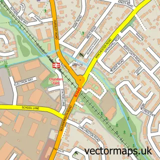
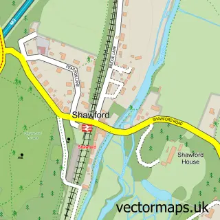
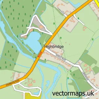
This Hursley street map is a detailed vector street map covering a 750m x 750m area. Select a larger area to create and download your own vector street map of Hursley.
The 750-metre map sample for Hursley covers 137 mapped buildings and approximately 11.3 km of road detail, of which 7 named roads are named. The immediate area includes 2 pubs. The wider area around Hursley features 2 food and drink venues. To create a larger or custom map of Hursley, the map builder lets you define your own coverage area and download editable SVG, PDF and PNG files.
Create a larger editable map of Hursley
Choose any area you need and generate a high-quality vector map instantly. Perfect for print, planning, design, business and personal use.

This Hursley street map in Hampshire is available as downloadable SVG, PDF and PNG map files, or as a printed map for planning, business, display, education, local information and design work. You can also create a larger custom map area using the map selector.
What this Hursley map sample shows
Hursley lies within Hursley Cp parish, part of Badger Farm And Oliver's Battery ward in the Winchester District (B) local authority area. The postcode geography for this area includes the SO postcode area, the SO21 postcode district and the SO21 2 postcode sector. Residents fall under the Nhs Hampshire And Isle Of Wight Integrated Care Board for NHS services.
Local features near Hursley
Within 2 milesAmenities and services in and around Hursley.
Administrative and postcode information for Hursley
Hursley lies within Hursley Cp parish, part of Badger Farm And Oliver's Battery ward in the Winchester District (B) local authority area. The postcode geography for this area includes the SO postcode area, the SO21 postcode district and the SO21 2 postcode sector. Residents fall under the Nhs Hampshire And Isle Of Wight Integrated Care Board for NHS services.
Nearby street map samples around Hursley

More street maps in Hampshire
750 metre map area coverage
Boundary, postcode and point of interest information for the 750m x 750m rectangle centred on this sample map.
Boundaries containing map centre
Constituency: Winchester Co Const
County: Hampshire County
District: Winchester District (B)
Icb: NHS Hampshire and Isle of Wight ICB
Parish: Hursley CP
Police Force: hampshire
Postcode District: SO21
Postcode Sector: SO21 2
Ward: Badger Farm & Oliver's Battery Ward
Nearby boundaries intersecting sample
No additional intersecting boundaries found.
Postcode coverage
POI category counts
Convenience Store: 2
Pub: 2
Bakery: 1
Business Consulting: 1
Butcher Shop: 1
Car Wash: 1
Chiropractor: 1
Church Cathedral: 1
Landscaping: 1
Language School: 1
Sample points of interest
- The Old Bakery
- Hownow Consulting
- Hursley High Class Butchers
- IMO Car Wash
- JS Chiropractic
- All Saints Church
- Hursley Community Shop & Post Office
- Post Office
- Hampshire Heritage Landscapes
- Krayon Languages
- Hursley Childcare Hub
- The Dolphin Inn
Create a larger editable map of Hursley
This sample shows only a 750 metre area. To create a larger map of Hursley, use our map builder to choose your own coverage area, add titles and download editable SVG, PDF and PNG files.
Create a custom map of Hursley