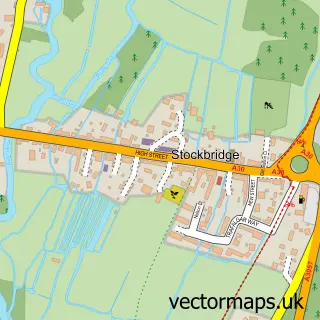
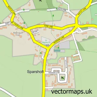
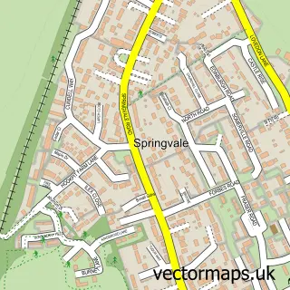
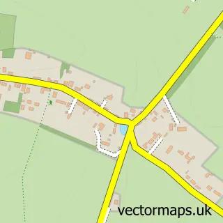
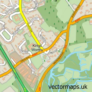
This Littleton street map is a detailed vector street map covering a 750m x 750m area. Select a larger area to create and download your own vector street map of Littleton.
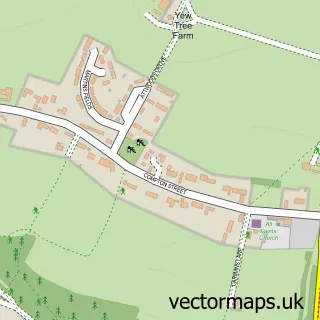
The 750-metre map sample for Littleton covers 355 mapped buildings and approximately 12.6 km of road detail, of which 25 named roads are named. The immediate area includes 2 GP surgeries within 2 miles and 4 MOT stations within 2 miles. The wider area around Littleton features 5 tourism points of interest. To create a larger or custom map of Littleton, the map builder lets you define your own coverage area and download editable SVG, PDF and PNG files.
Create a larger editable map of Littleton
Choose any area you need and generate a high-quality vector map instantly. Perfect for print, planning, design, business and personal use.

This Littleton street map in Hampshire is available as downloadable SVG, PDF and PNG map files, or as a printed map for planning, business, display, education, local information and design work. You can also create a larger custom map area using the map selector.
What this Littleton map sample shows
Littleton lies within Littleton And Harestock Cp parish, part of Wonston And Micheldever ward in the Winchester District (B) local authority area. The postcode geography for this area includes the SO postcode area, the SO22 postcode district and the SO22 6 postcode sector. Residents fall under the Nhs Hampshire And Isle Of Wight Integrated Care Board for NHS services.
Local features near Littleton
Within 2 milesAmenities and services in and around Littleton.
Administrative and postcode information for Littleton
Littleton lies within Littleton And Harestock Cp parish, part of Wonston And Micheldever ward in the Winchester District (B) local authority area. The postcode geography for this area includes the SO postcode area, the SO22 postcode district and the SO22 6 postcode sector. Residents fall under the Nhs Hampshire And Isle Of Wight Integrated Care Board for NHS services.
Nearby street map samples around Littleton

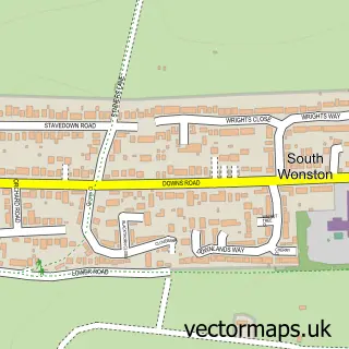
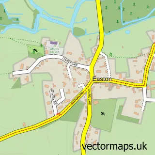
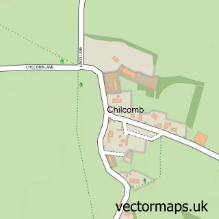
More street maps in Hampshire
750 metre map area coverage
Boundary, postcode and point of interest information for the 750m x 750m rectangle centred on this sample map.
Boundaries containing map centre
Constituency: Winchester Co Const
County: Hampshire County
District: Winchester District (B)
Icb: NHS Hampshire and Isle of Wight ICB
Parish: Littleton and Harestock CP
Police Force: hampshire
Postcode District: SO22
Postcode Sector: SO22 6
Ward: Wonston & Micheldever Ward
Nearby boundaries intersecting sample
No additional intersecting boundaries found.
Postcode coverage
POI category counts
Park: 3
Irish Pub: 2
Preschool: 2
Attractions And Activities: 1
Bowling Alley: 1
Building Supply Store: 1
Business Management Services: 1
Church Cathedral: 1
Community Center: 1
Electrician: 1
Sample points of interest
- Flowerdown Barrows
- Littleton Bowling Club
- C.B Plastering South
- Bright Consulting Group
- St Mary's Crawley C of E Church
- Littleton Millennium Memorial Hall
- Brooks Electrical Services
- FeelBright
- Doorgear Limited
- GKR Karate
- Simon Ward
- Charming Bedrooms at The Running Horse
Create a larger editable map of Littleton
This sample shows only a 750 metre area. To create a larger map of Littleton, use our map builder to choose your own coverage area, add titles and download editable SVG, PDF and PNG files.
Create a custom map of Littleton