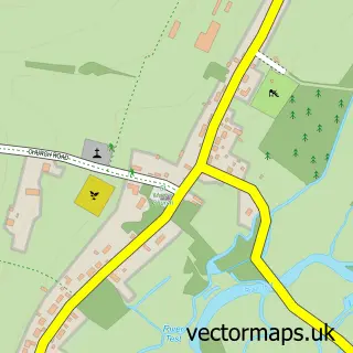
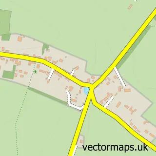
This Stockbridge street map is a detailed vector street map covering a 750m x 750m area. Select a larger area to create and download your own vector street map of Stockbridge.
The 750-metre map sample for Stockbridge covers 185 mapped buildings and approximately 8.1 km of road detail, of which 5 named roads are named. The immediate area includes 1 GP surgery and 4 pubs. The wider area around Stockbridge features 4 tourism points of interest, 12 food and drink venues and 3 hotels. To create a larger or custom map of Stockbridge, the map builder lets you define your own coverage area and download editable SVG, PDF and PNG files.
Create a larger editable map of Stockbridge
Choose any area you need and generate a high-quality vector map instantly. Perfect for print, planning, design, business and personal use.

This Stockbridge street map in Hampshire is available as downloadable SVG, PDF and PNG map files, or as a printed map for planning, business, display, education, local information and design work. You can also create a larger custom map area using the map selector.
What this Stockbridge map sample shows
Stockbridge lies within Stockbridge Cp parish, part of Mid Test ward in the Test Valley District local authority area. The postcode geography for this area includes the SO postcode area, the SO20 postcode district and the SO20 6 postcode sector. Residents fall under the Nhs Hampshire And Isle Of Wight Integrated Care Board for NHS services.
Local features near Stockbridge
Within 2 milesAmenities and services in and around Stockbridge.
Administrative and postcode information for Stockbridge
Stockbridge lies within Stockbridge Cp parish, part of Mid Test ward in the Test Valley District local authority area. The postcode geography for this area includes the SO postcode area, the SO20 postcode district and the SO20 6 postcode sector. Residents fall under the Nhs Hampshire And Isle Of Wight Integrated Care Board for NHS services.
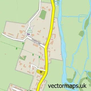
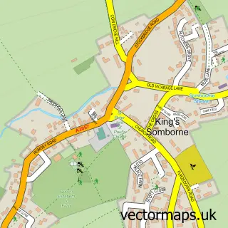
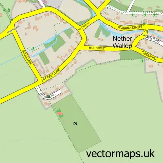
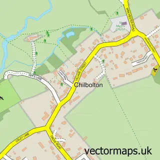
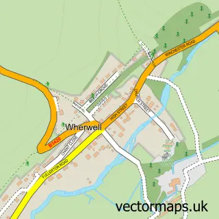
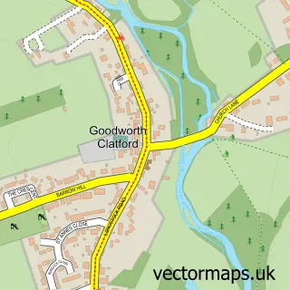
Nearby street map samples around Stockbridge

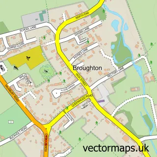
More street maps in Hampshire
750 metre map area coverage
Boundary, postcode and point of interest information for the 750m x 750m rectangle centred on this sample map.
Boundaries containing map centre
Constituency: Romsey and Southampton North Co Const
County: Hampshire County
District: Test Valley District
Icb: NHS Hampshire and Isle of Wight ICB
Parish: Stockbridge CP
Police Force: hampshire
Postcode District: SO20
Postcode Sector: SO20 6
Ward: Mid Test Ward
Nearby boundaries intersecting sample
Parish: Houghton CP, Longstock CP
Postcode coverage
POI category counts
Coffee Shop: 6
Pub: 4
Resort: 4
Hotel: 3
Art Gallery: 2
Cafe: 2
Clothing Store: 2
Flowers And Gifts Shop: 2
Gift Shop: 2
Grocery Store: 2
Sample points of interest
- Stockbridge Common
- Dr Gillian Pearson Homeopath
- Stockbridge Peking
- Old St Peter
- Newman's Decorative Living
- The Wykeham Gallery
- Wykeham Gallery
- The Southern Co-Operative Stockbridge High Street, Stockbridge
- Rawlings Opticians & Hearing Care
- Terra Firma Tiles
- Lloyds Bank
- Isla's Craft Spirit Bar
Create a larger editable map of Stockbridge
This sample shows only a 750 metre area. To create a larger map of Stockbridge, use our map builder to choose your own coverage area, add titles and download editable SVG, PDF and PNG files.
Create a custom map of Stockbridge